Home > StateDocs > sos > ARCHIVES > ARC_IMG > ARC_MAPS > PLANBOOK_MAPS > PLANBOOK_14
Follow
Advanced Search


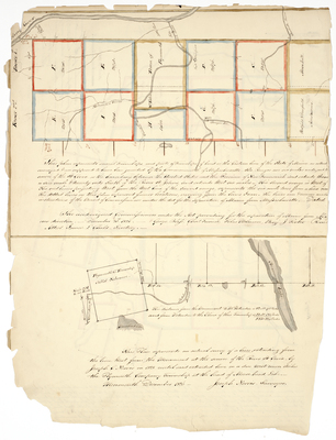
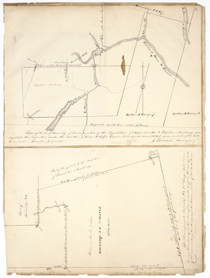
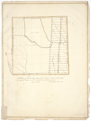
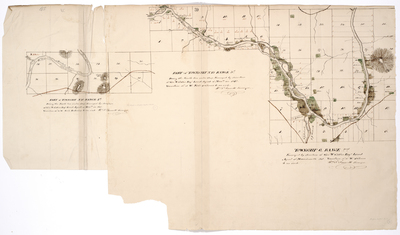
, 1844. by William Parrott")
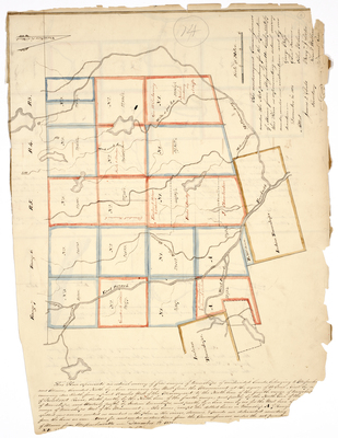
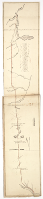
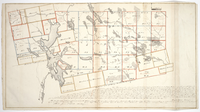
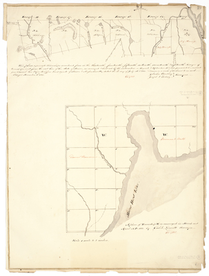
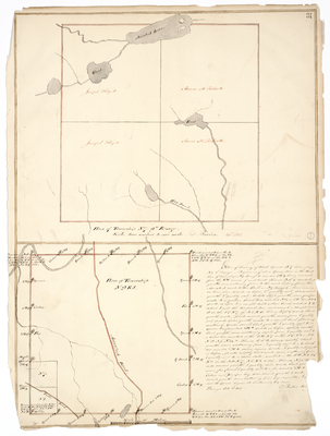
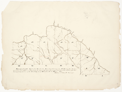
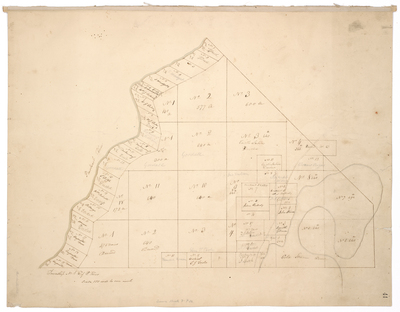
![Page 43. This Plan represents several townships & parts of townships of land on the Eastern line of the State of Maine [...], 1825 by Joseph Norris](https://digitalmaine.com/planbook_14/1042/thumbnail.jpg "Page 43. This Plan represents several townships & parts of townships of land on the Eastern line of the State of Maine [...], 1825 by Joseph Norris")
