Home > StateDocs > sos > ARCHIVES > ARC_IMG > ARC_MAPS > PLANBOOK_MAPS > PLANBOOK_14
Follow
Advanced Search


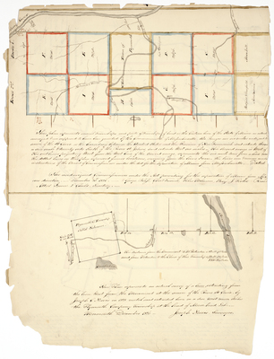
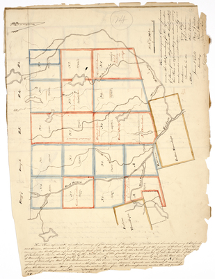
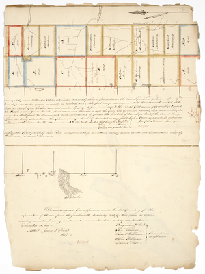
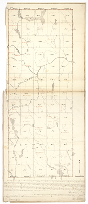
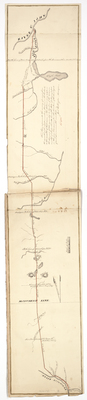
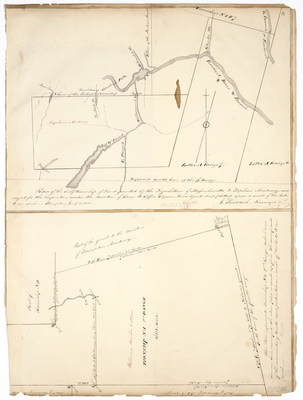
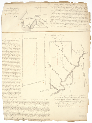
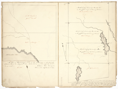
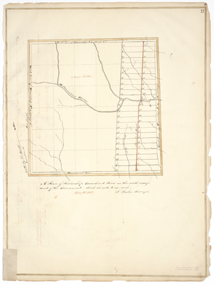
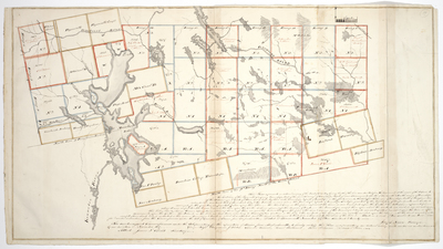
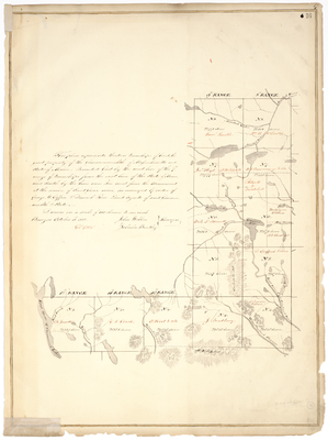
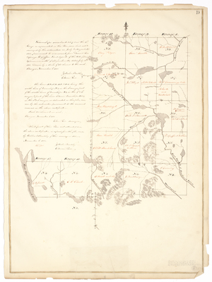
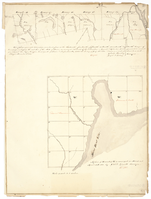
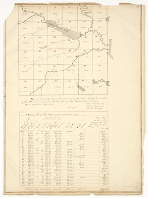
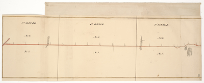
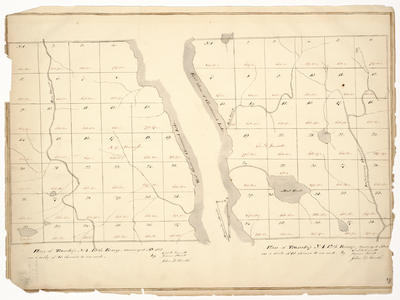
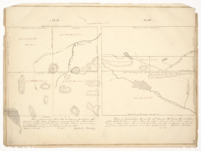
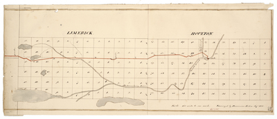
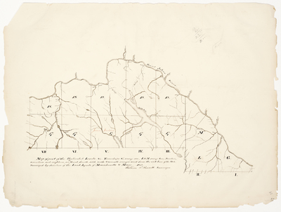
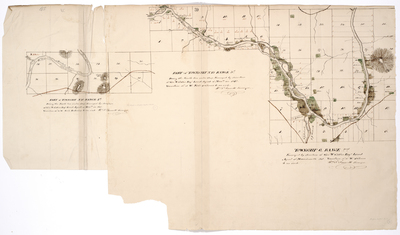
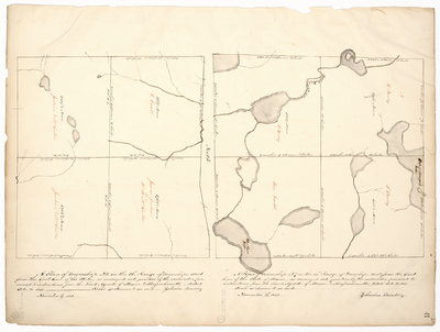
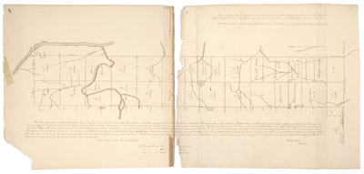
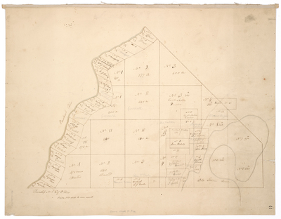
 by John Webber and Zebulon Bradley")


