

Preview
Document Type
StillImage
Contributing Institution
Maine State Archives
Identifier
210848
Description
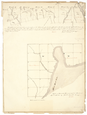
Plan of Township 4 in Ranges 13-18 west of the east line of the State of Maine as surveyed and laid out by the subscribers in August and September 1833 on a scale of 160 chains to an inch.
A plan of Township W as surveyed in March and April A.D. 1833 by Caleb Leavitt on a scale of 1 mile to 2 inches.
Exact Creation Date
1833
Language
English
Location
Piscataquis County; Somerset County
Keywords
Cartography; Maps; Maine Land Office; Planbooks; Surveys