Home > StateDocs > sos > ARCHIVES > ARC_IMG > ARC_MAPS > PLANBOOK_MAPS > PLANBOOK_14
Follow
Advanced Search


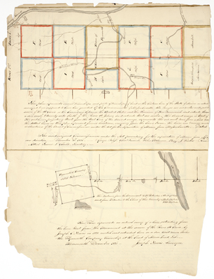
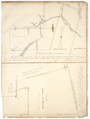
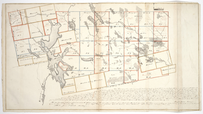
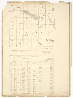
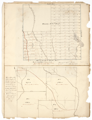
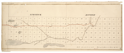
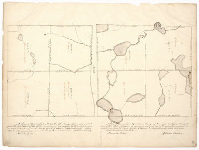
 and of Days Academy Grant, 1828 by Jedediah Herrick and Joseph Norris")
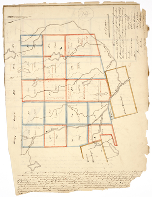
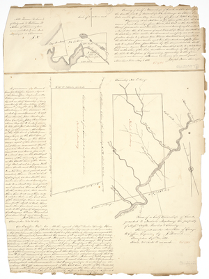
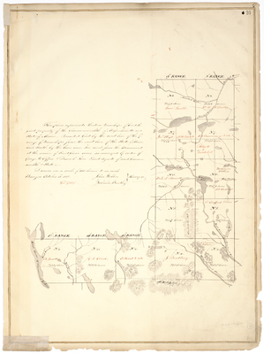
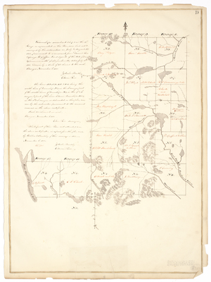
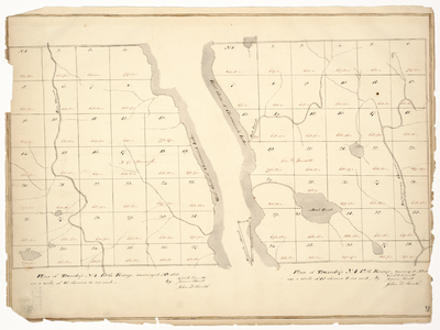
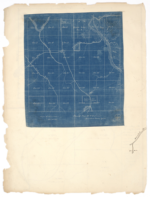
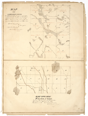
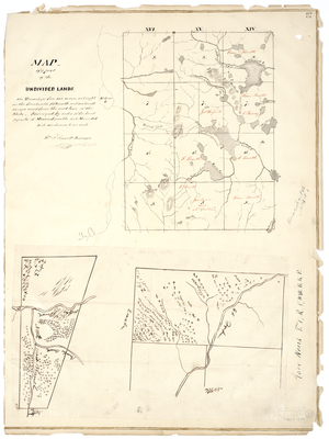
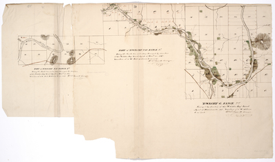
 and T2 R8 WELS (Penobscot County) by Edwin Rose and John Webber")

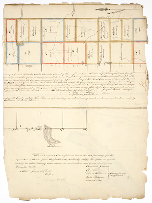
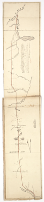
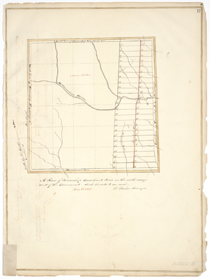
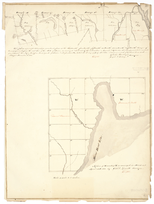
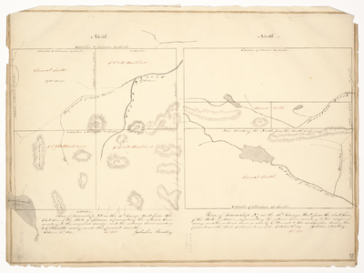
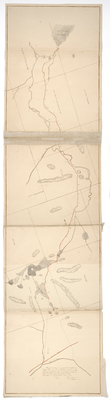
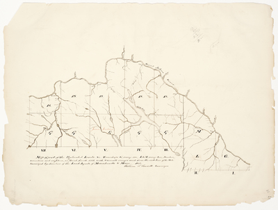
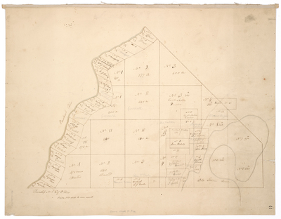
. by Dominicus Parker")


