Home
Search
Browse State Agencies
My Account
About
Digital Commons Network™
Skip to main content
Home
About
FAQs
My Account
Home
>
StateDocs
>
sos
>
ARCHIVES
>
ARC_IMG
>
ARC_LAND_OFFICE
>
PLANBOOK_MAPS
>
PLANBOOK26
Plan Book 26
Printing is not supported at the primary Gallery Thumbnail page. Please first navigate to a specific Image before printing.
Follow
Switch View to List
View Slideshow
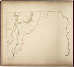
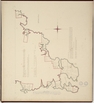
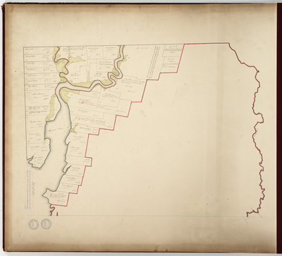
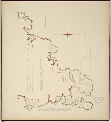
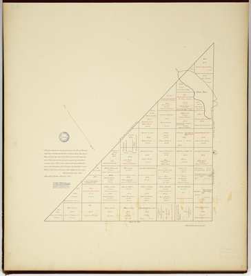
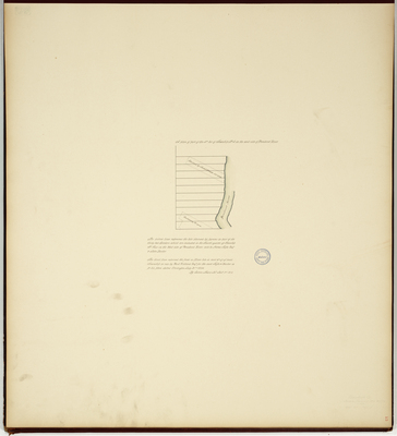
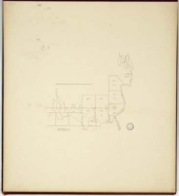
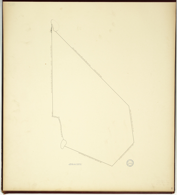
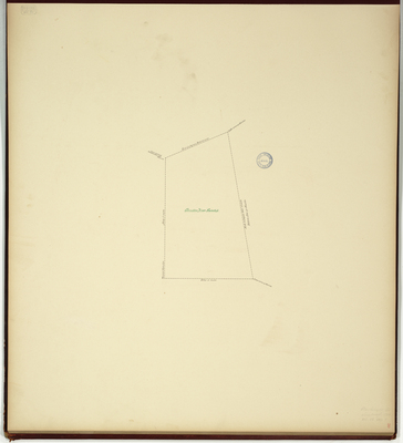
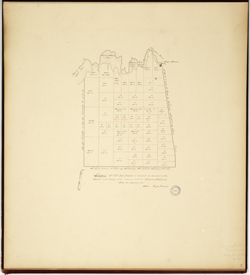
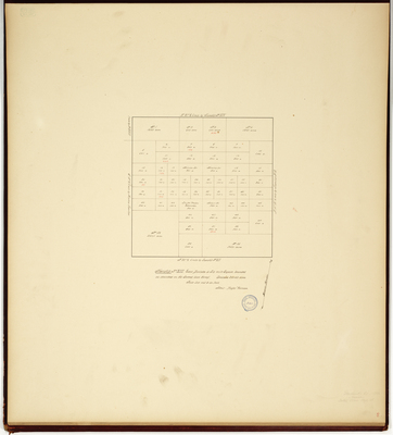
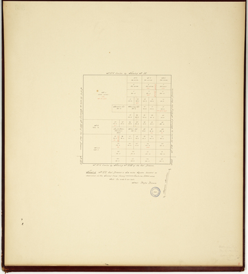
Page 01. Part Number Two (Addison-see page 5) continuation of preceeding sheet above Line "A.B." being the North half as represented on original plan.
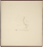
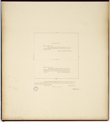
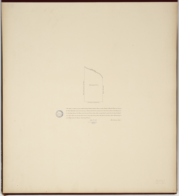
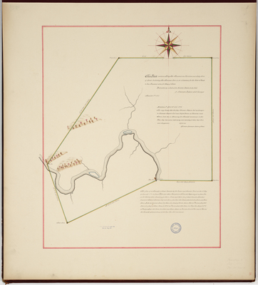
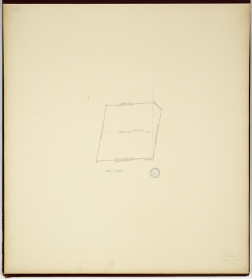
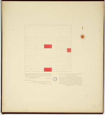
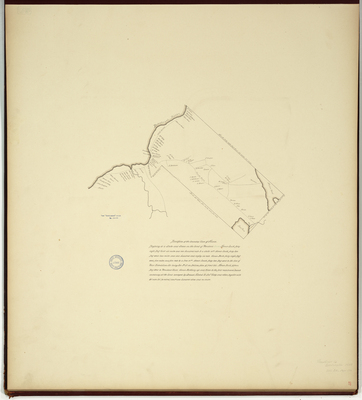
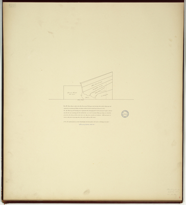
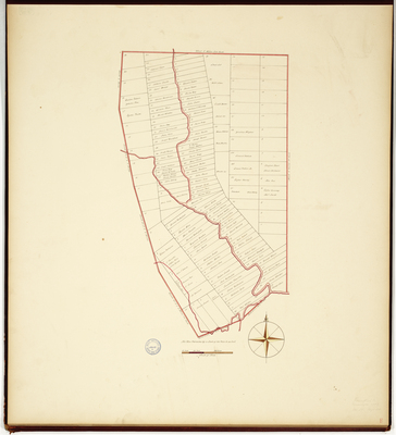
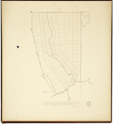
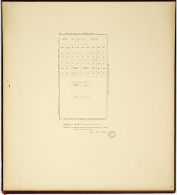
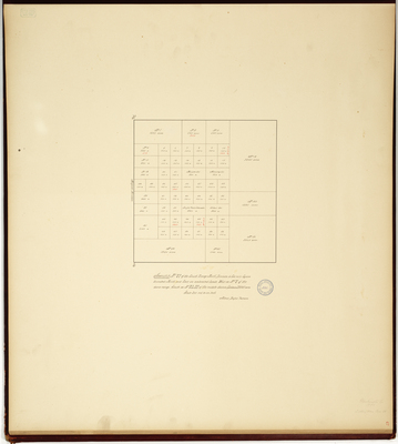
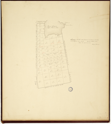
Page 02. A Plan of the Town of Foxcroft, January 1820
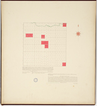
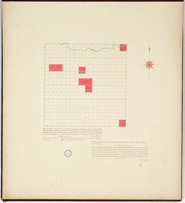
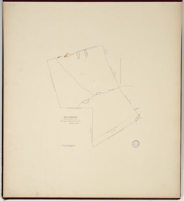
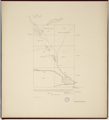
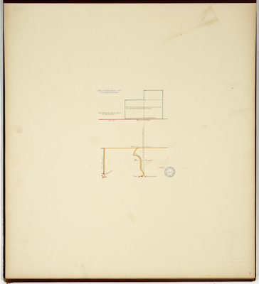
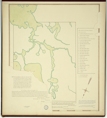
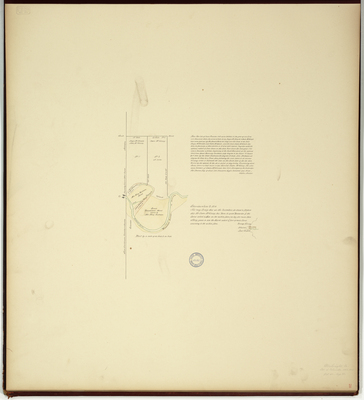
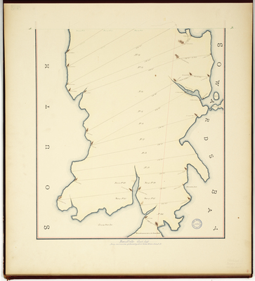
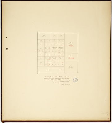
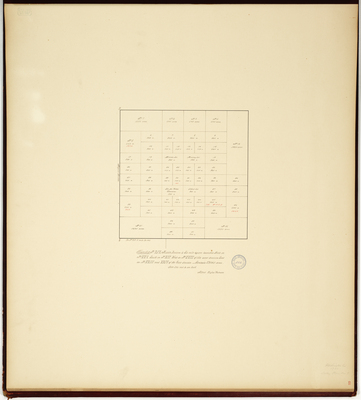
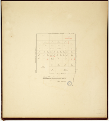
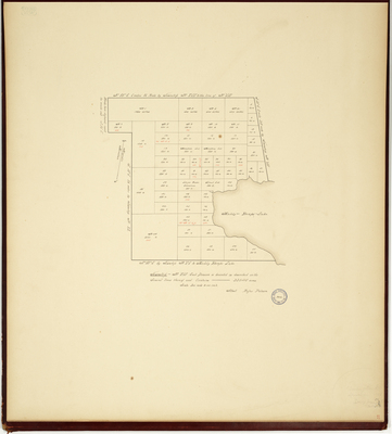
Page 03. This Plan represents Township No. 3 in the Sixth Range of Townships
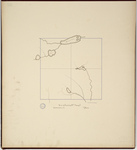
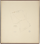
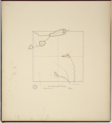
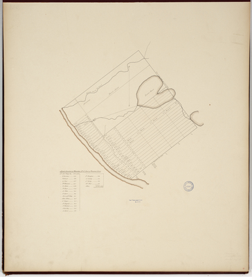
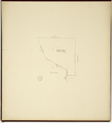
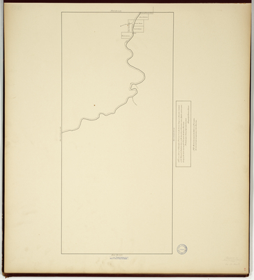
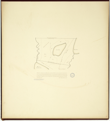
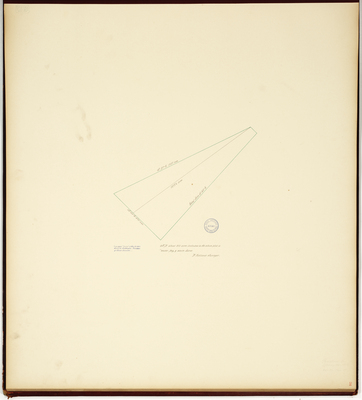
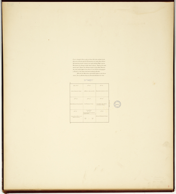
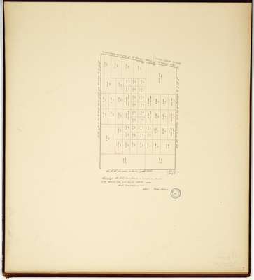
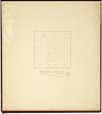
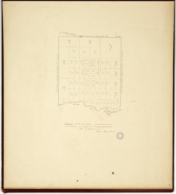
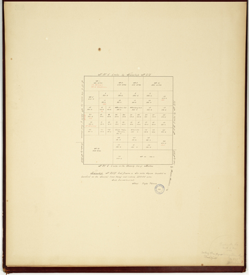
Page 04. Plan of Township No. 7 Range 9.
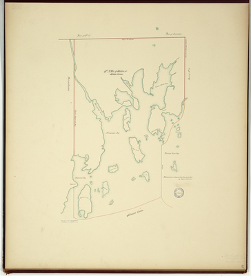
Page 05. Part Number One (Addison-see also page 1 for second half of survey)
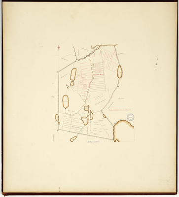
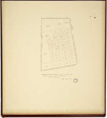
Page 06. Plan of Orono area
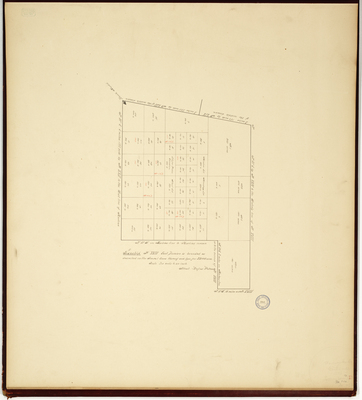
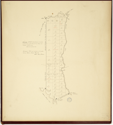
Page 07. Plan of a gore of land laying between Jackson Town, so called, Bangor and Pushaw Pond and part of the Nine Townships.
Page 08. Plan of Tings Town, 1786
Page
1
of
8
1
2
3
4
5
6
7
Search
Enter search terms:
Select context to search:
in this collection
Digital Maine
Advanced Search
Notify me via email or
RSS
Browse
State Agencies
Subjects
Contributors
For Agency Contributors
FAQs
Featured Links
Maine Government
Maine State Library
Maine State Agencies
Digital Maine Partners
Gallery Locations
View gallery on map
View gallery in Google Earth