Home
Search
Browse State Agencies
My Account
About
Digital Commons Network™
Skip to main content
Home
About
FAQs
My Account
Home
>
StateDocs
>
sos
>
ARCHIVES
>
ARC_IMG
>
ARC_LAND_OFFICE
>
PLANBOOK_MAPS
>
PLANBOOK26
Plan Book 26
Printing is not supported at the primary Gallery Thumbnail page. Please first navigate to a specific Image before printing.
Follow
Switch View to List
View Slideshow
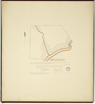
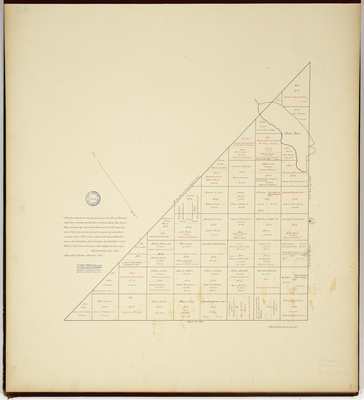
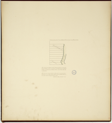
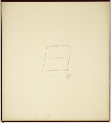
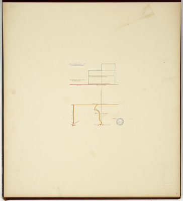
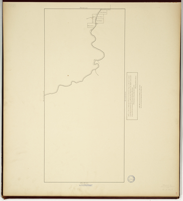
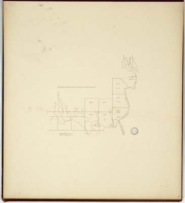
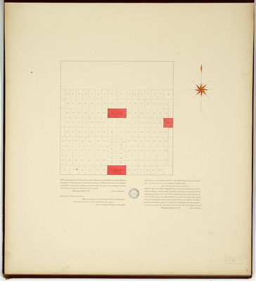
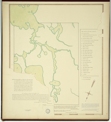
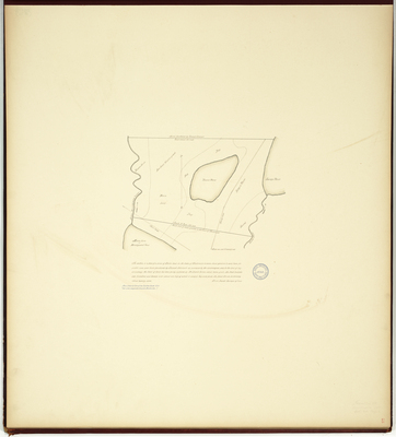
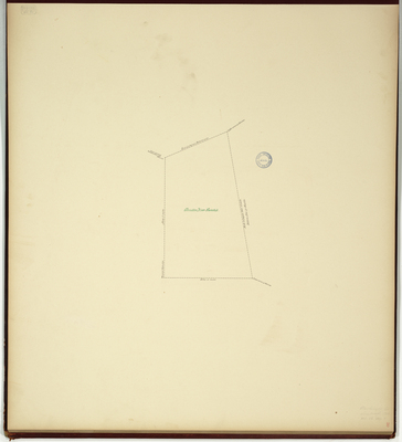
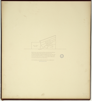
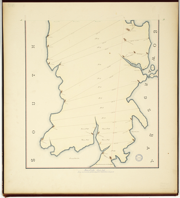
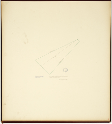
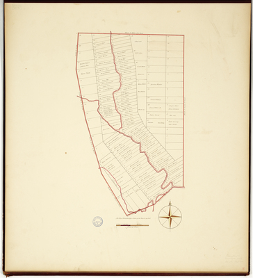
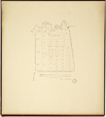
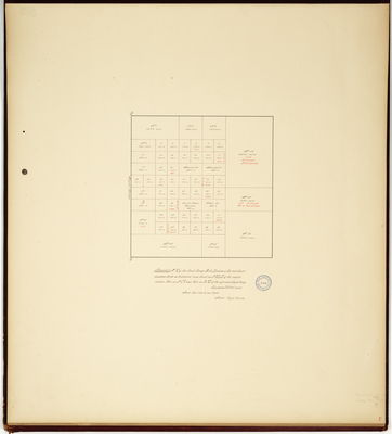
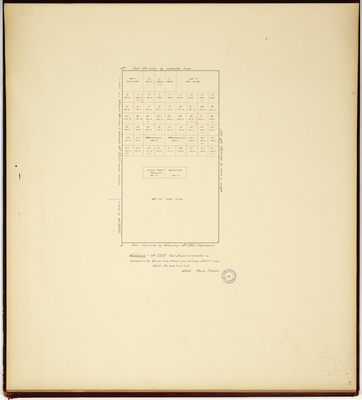
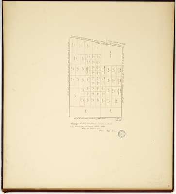
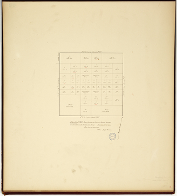
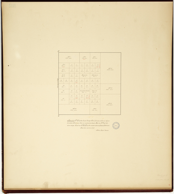
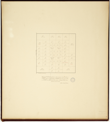
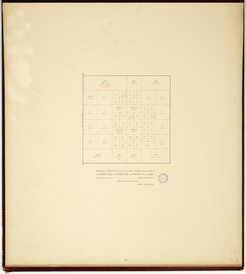
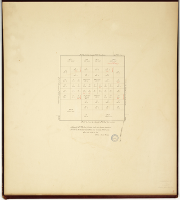
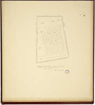
Page 17. Plan of the town of Bangor including the Indian Claim.
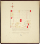
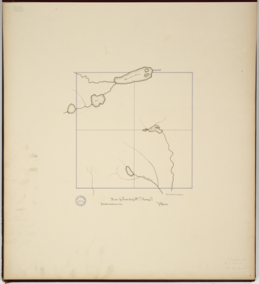
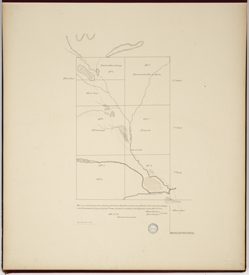
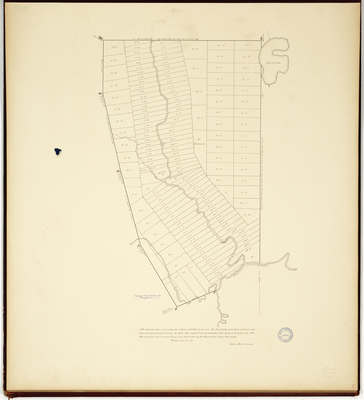
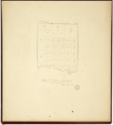
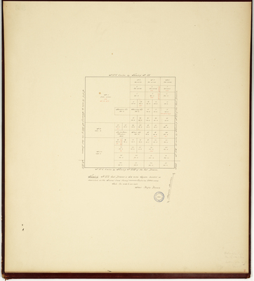
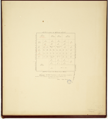
Page 18. Plan of Township 5 in Range 5
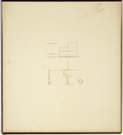
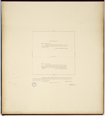
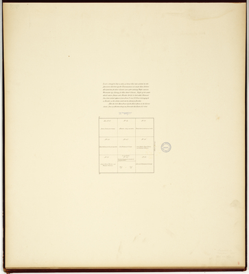
Page 20. Grant to John Fowler, 1789.
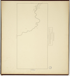
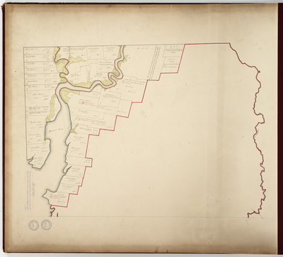
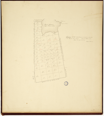
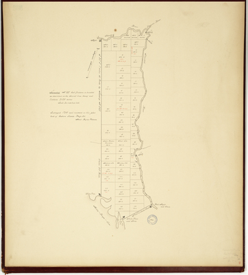
Page 20. Plan of Townships No. 2 and 3 in the Second Range of Townships Northward of the Plymouth Companies land on the west side of Kennebeck River together with an actual Survey of the River running thru No. 2 called the Seven Mile brook.
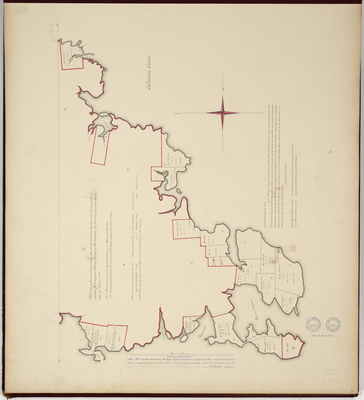
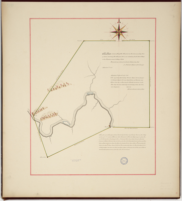
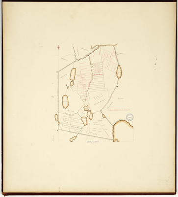
Page 21. Survey from the Report of Alexander Campbell & others relating to Passamaquoddy Indians, 1795
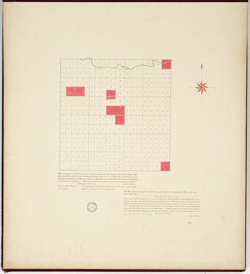
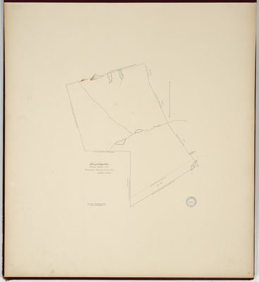
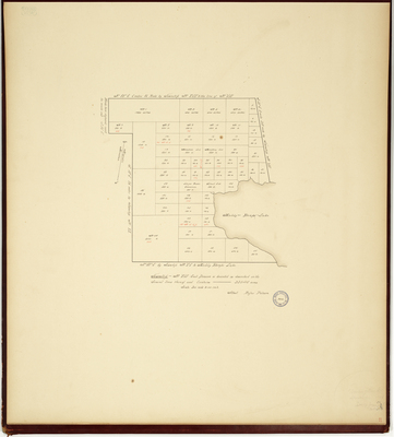
Page 22. Plan of Township 2 in the 5th Range
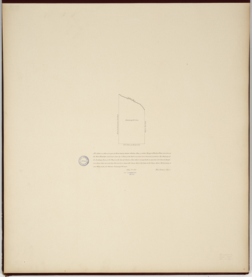
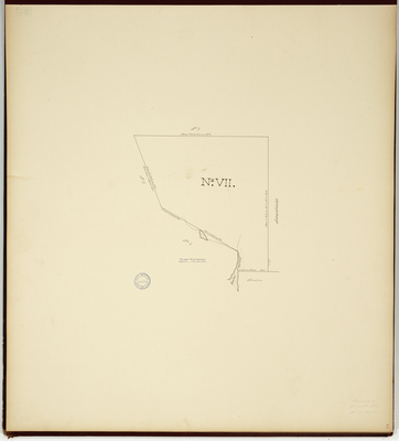
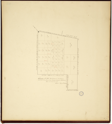
Page 23. A Plan of a Tract of land sold to Solomon Thayer Esq. by the Commonwealth of Massachusetts named the Seventh Division of the Survey of Eastport and Lubec, 1824
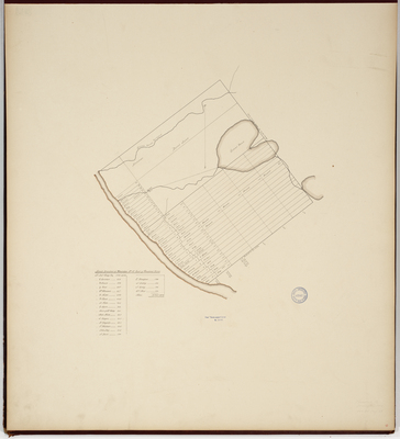
Page 24. Plan of Machias, 1771.
Page
3
of
8
1
2
3
4
5
6
7
Search
Enter search terms:
Select context to search:
in this collection
Digital Maine
Advanced Search
Notify me via email or
RSS
Browse
State Agencies
Subjects
Contributors
For Agency Contributors
FAQs
Featured Links
Maine Government
Maine State Library
Maine State Agencies
Digital Maine Partners
Gallery Locations
View gallery on map
View gallery in Google Earth