Home > StateDocs > sos > ARCHIVES > ARC_IMG > ARC_MAPS > PLANBOOK_MAPS > PLANBOOK26
Follow
Page 2 of 8
Advanced Search


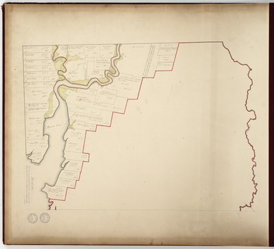
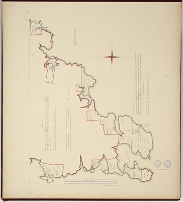
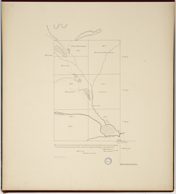
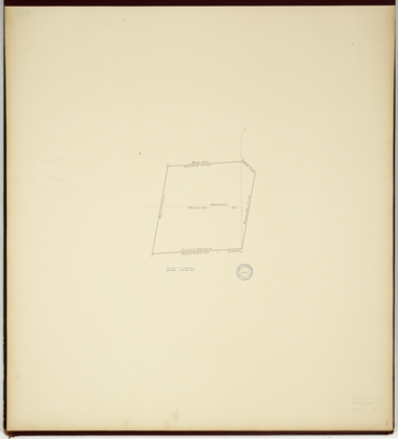
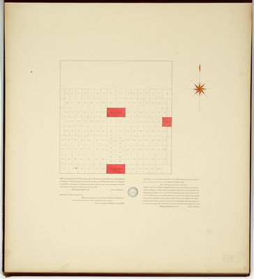
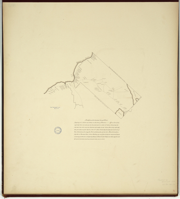
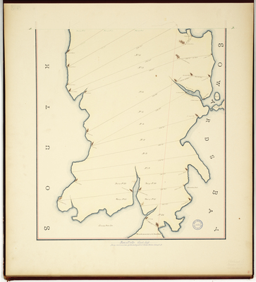
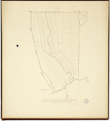
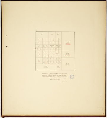
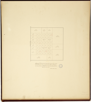
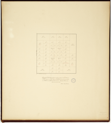
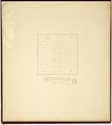
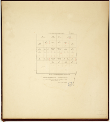
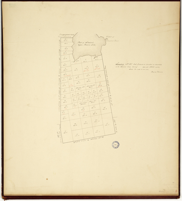
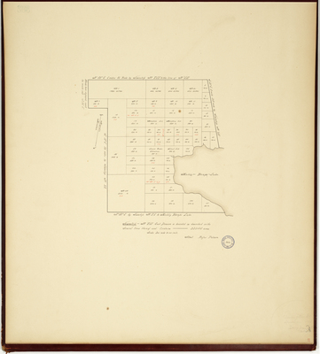
![Page 11. Plan of a Township of Land Granted by the Great and General Court on the 11th Day of June AD 1771 to David Phips and others [Jay, Maine] by Alexander Shepard Jr.](https://digitalmaine.com/planbook26/1010/thumbnail.jpg "Page 11. Plan of a Township of Land Granted by the Great and General Court on the 11th Day of June AD 1771 to David Phips and others [Jay, Maine] by Alexander Shepard Jr.")

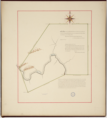
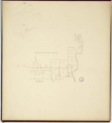
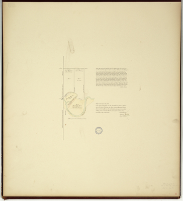
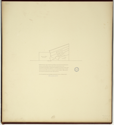
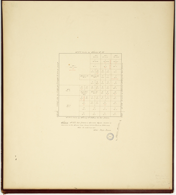
 by deed dated February the 4th 1801 containing about 6400 acres exclusive of water as appears by said Jarvis's mortgage deed. by Lothrop Lewis, John Peters, and John Peters Jr.")
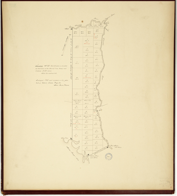
.")

