Home > StateDocs > sos > ARCHIVES > ARC_IMG > ARC_LAND_OFFICE > PLANBOOK_MAPS > PLANBOOK_24
Follow
Page 7 of 10
Advanced Search


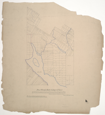
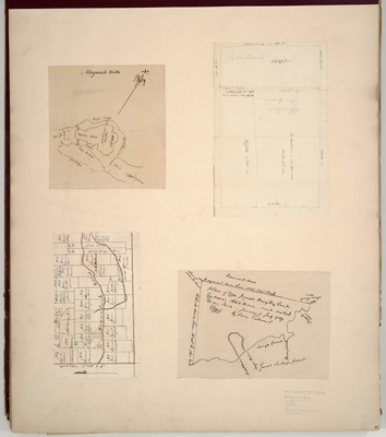
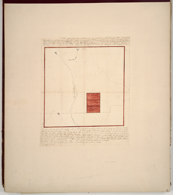
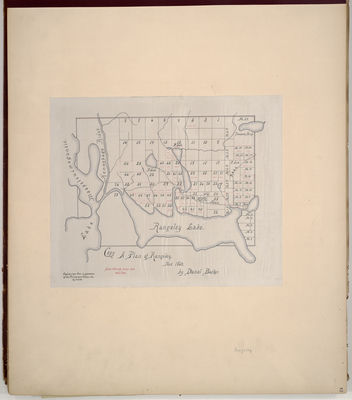
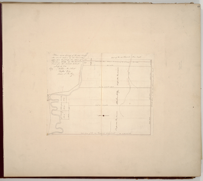
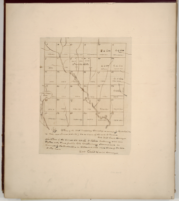
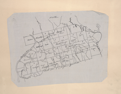
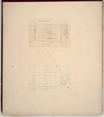
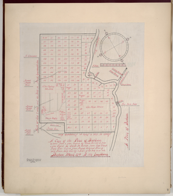
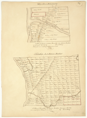
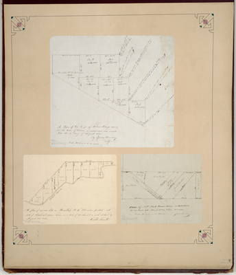
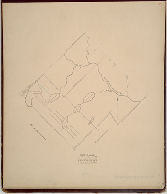
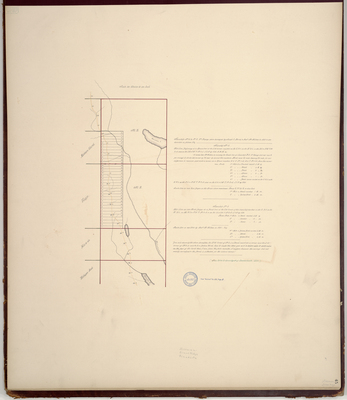
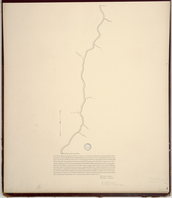
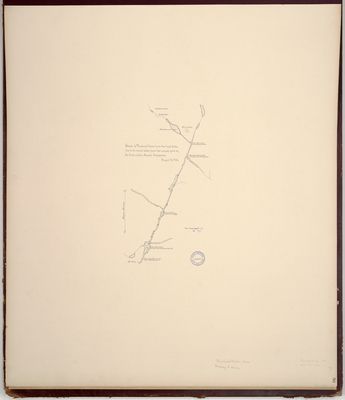
; Plan of meadow lots in Township 4 Old Indian Purchase east side of Penobscot River (1832); Plan of Lot 6 Pease's Survey in Glenburn (1841) by Zebulon Bradley, Caleb Leavitt, and Andrew Strong")
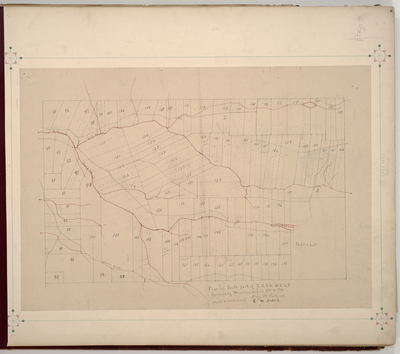
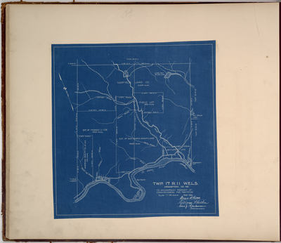
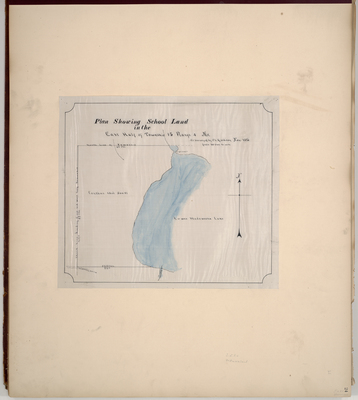
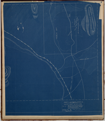
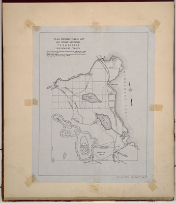
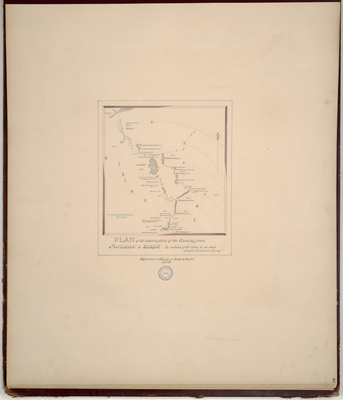
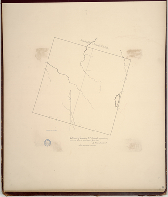
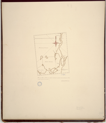
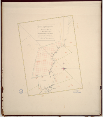
![Page 37.5. Plan Showing Public Lot, [Big Moose] Mountain, T2R6 BKP EKR, Piscataquis County, by George H. Gruhn, Walter E. Craig, and E. B. Crowley](https://digitalmaine.com/planbook_24/1052/thumbnail.jpg "Page 37.5. Plan Showing Public Lot, [Big Moose] Mountain, T2R6 BKP EKR, Piscataquis County, by George H. Gruhn, Walter E. Craig, and E. B. Crowley")

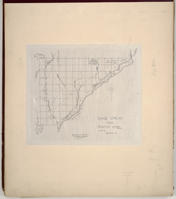
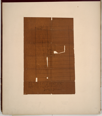
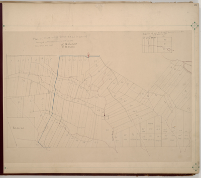
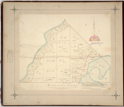
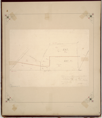
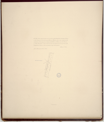
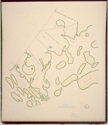
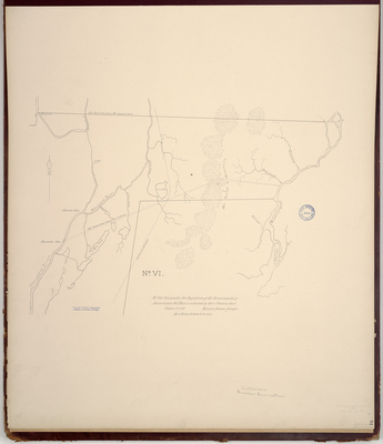
![Page 38. This plan represents that part of lot number 53 of Holland's Survey lying easterly of the Dutton or Glenburn road as divided between Simon Pearson [and] Eleazer Wellbridge by Japheth Gilman](https://digitalmaine.com/planbook_24/1053/thumbnail.jpg "Page 38. This plan represents that part of lot number 53 of Holland's Survey lying easterly of the Dutton or Glenburn road as divided between Simon Pearson [and] Eleazer Wellbridge by Japheth Gilman")

