Home
Search
Browse State Agencies
My Account
About
Digital Commons Network™
Skip to main content
Home
About
FAQs
My Account
Home
>
StateDocs
>
sos
>
ARCHIVES
>
ARC_IMG
>
ARC_LAND_OFFICE
>
PLANBOOK_MAPS
>
PLANBOOK_24
Plan Book 24
Printing is not supported at the primary Gallery Thumbnail page. Please first navigate to a specific Image before printing.
Follow
Switch View to List
View Slideshow
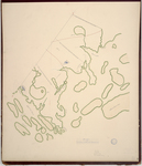
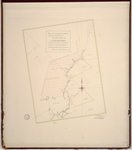
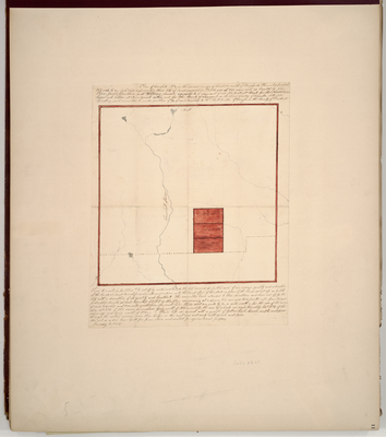
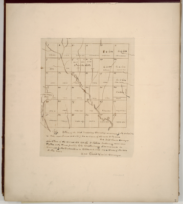
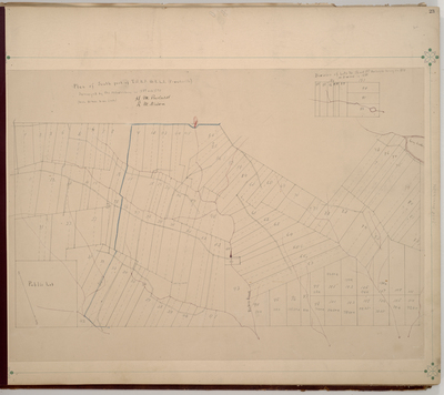
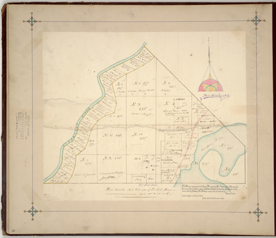
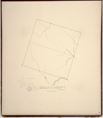
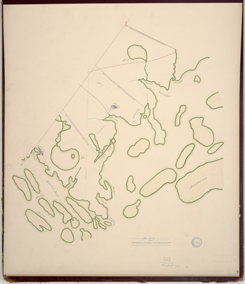
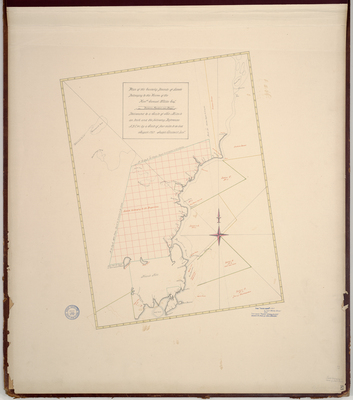
Page 49. Plan of Lands Granted to Colonel Edy, James Swan, and others, 1785; Part 2
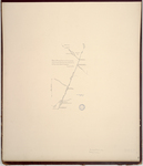
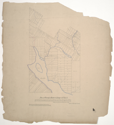
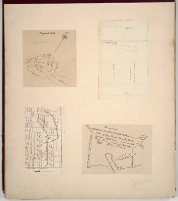
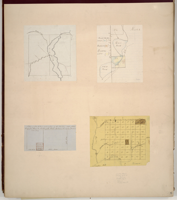
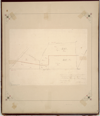
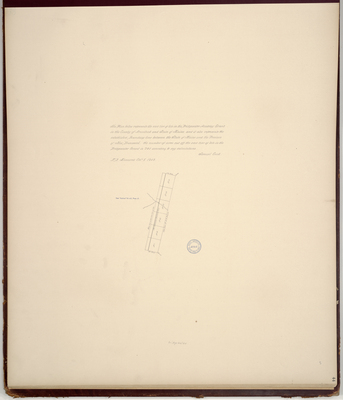
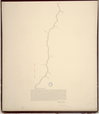
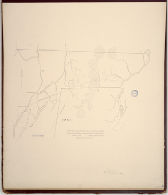
Page 50. Sketch of Penobscot River from the head of the tide to its source taken from the account given by Mr. Treat and John Marsh, Interpreters, 1786
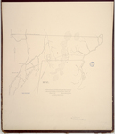
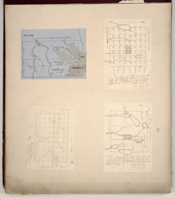
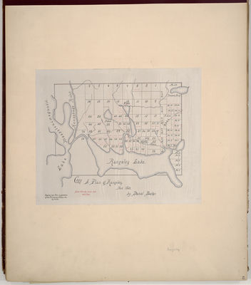
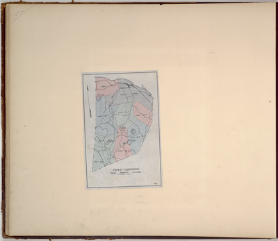
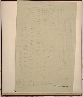
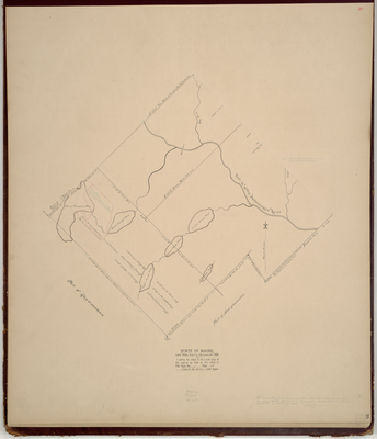
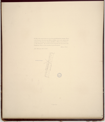
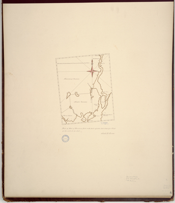
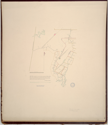
Page 51. Tract of land between the Kennebec and Penobscot Rivers, 1788
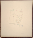
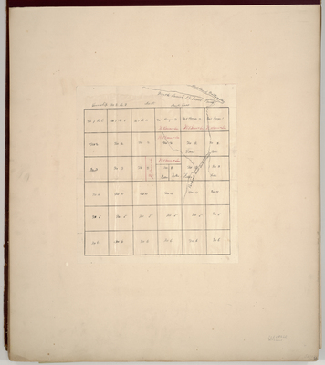
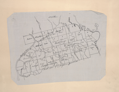
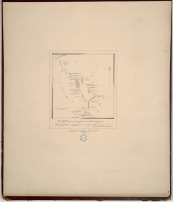
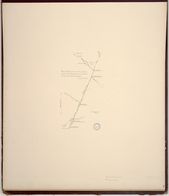
Page 52. Plan of Kennebec River through eight townships as part of the petition of the Pejepscot Proprietors, 1795.
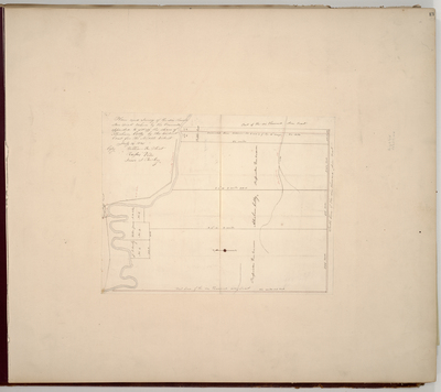
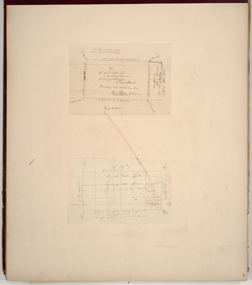
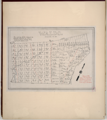
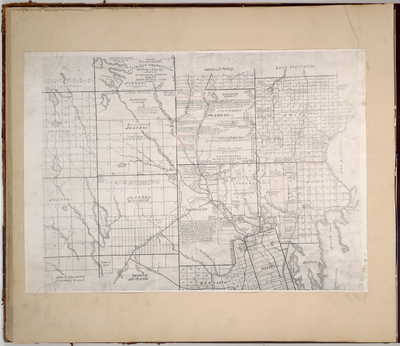
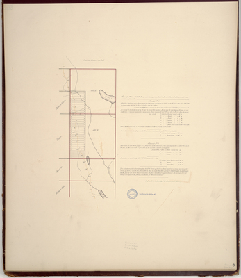
Page 53. Plan of the Easterly Bounds of Lands Belonging to the Heirs of the Honorable Samuel Waldo, Esq. between Frankfort and Bangor, 1767
Page
10
of
10
4
5
6
7
8
9
10
Search
Enter search terms:
Select context to search:
in this collection
Digital Maine
Advanced Search
Notify me via email or
RSS
Browse
State Agencies
Subjects
Contributors
For Agency Contributors
FAQs
Featured Links
Maine Government
Maine State Library
Maine State Agencies
Digital Maine Partners
Gallery Locations
View gallery on map
View gallery in Google Earth