


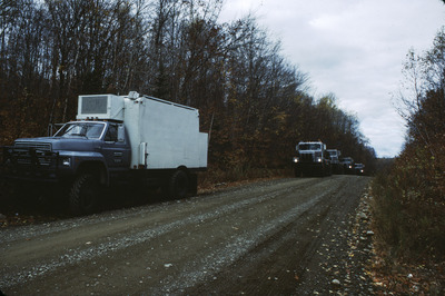
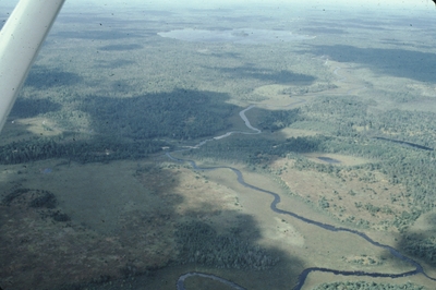
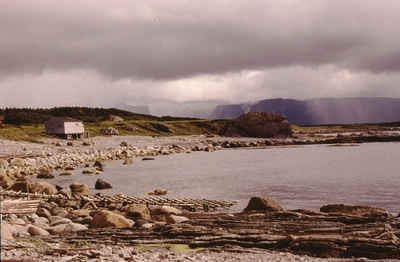
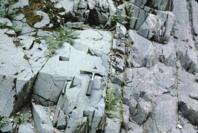
The Maine Geological Survey provides the people and businesses of Maine with essential geologic information about the land where we live and work. This collection contains field photographs of geologic features taken by Maine Geological Survey geologists. Use of the photos is free but please credit Maine Geological Survey and the photographer.
Printing is not supported at the primary Gallery Thumbnail page. Please first navigate to a specific Image before printing.


")
")
")


")
")
")
")


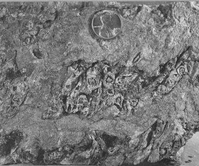
 578-1B (26) - Fig. 10")

")

")
")
")
")
")
")

")
")
")
")


 - Fig. 6")

 - Fig. 8")
")
")
")


 - Fig. 7")


")


 - Fig. 13")


")


 Harbor (Joe Kelley + Walter Anderson)")
")
")
")
")


")


 - Cad. (Cadillac) Mtn. to left. Dorr Mtn. to right. by Joseph Kelley")
 - Cad. (Cadillac) Mtn. to the right. Dorr Mtn. to the left. by Joseph Kelley")

 by Joseph Kelley")


 by Joseph Kelley")
 by Joseph Kelley")
 - moraine? by Joseph Kelley")


")


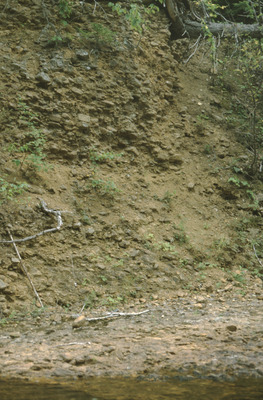
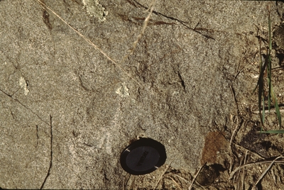
 Extremely Prominent Mottling in Clayey Soil")
")


 by Vernon L. Shaw")
 by Vernon L. Shaw")


")


")


")
")

")


")


 - Amethyst Intergalactic Pit - Mined 1993. by John Poisson")
 - Amethyst Intergalactic Pit, Deer Hill - Mined 1993.")
 - Amethyst Intergalactic Pit, Deer Hill - Mined 1993. by John Poisson")
 - Amethyst Intergalactic Pit, Deer Hill - Mined 1993. by John Poisson")
. by John Poisson")


 - Found in 1997 behind the red church at the Standish marsh-swamp. From John Raymond.")
 - Swamp behind the Historic Red Church, Oak Hill Rd. - From John Raymond")
 - Swamp-marsh specimen. Found 1997. Historic Red Church, Oak Hill Rd. - From John Raymond")


 by John Poisson")


 by Robert A. Johnston")


 Work")

")


")
")
")
")
")


