


The Maine Geological Survey provides the people and businesses of Maine with essential geologic information about the land where we live and work. This collection contains field photographs of geologic features taken by Maine Geological Survey geologists. Use of the photos is free but please credit Maine Geological Survey and the photographer.
Printing is not supported at the primary Gallery Thumbnail page. Please first navigate to a specific Image before printing.
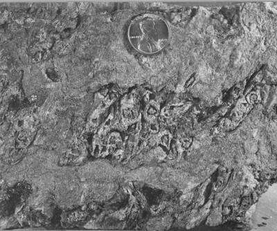
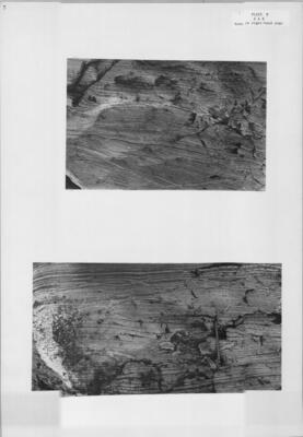
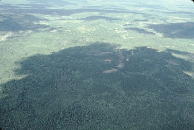
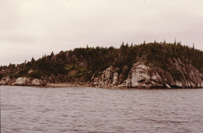
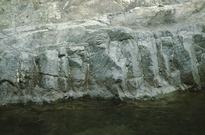
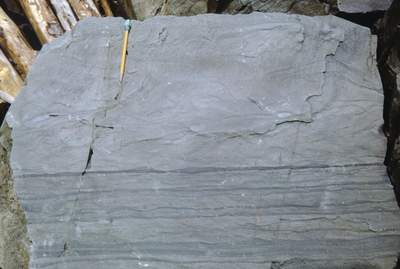
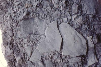
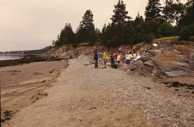
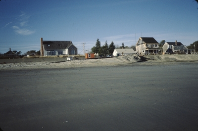
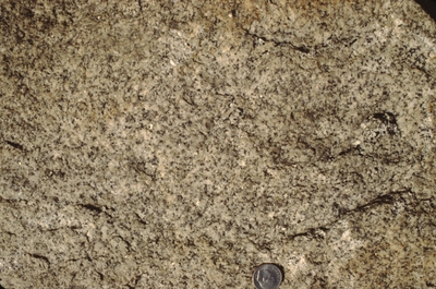
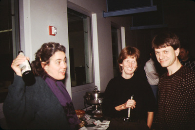
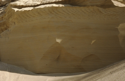
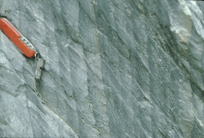
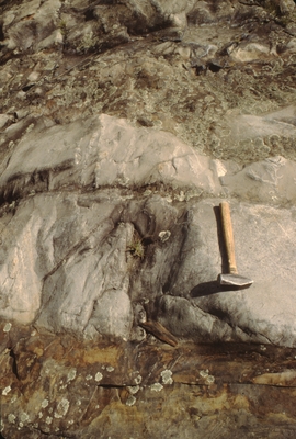
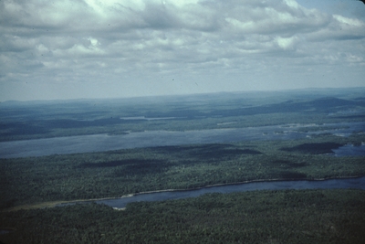
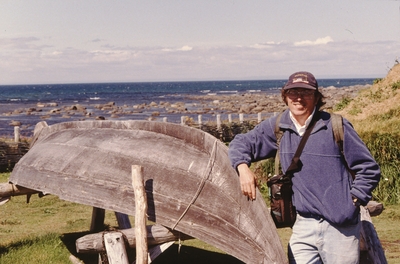
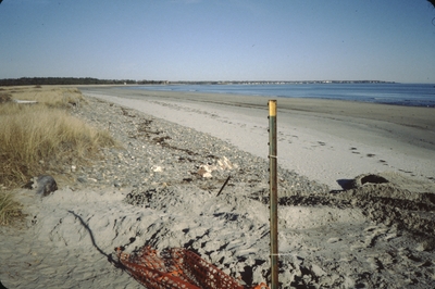
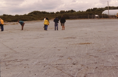
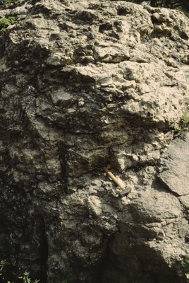
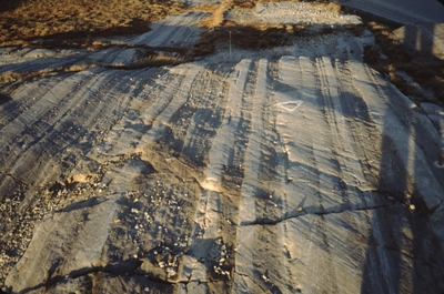
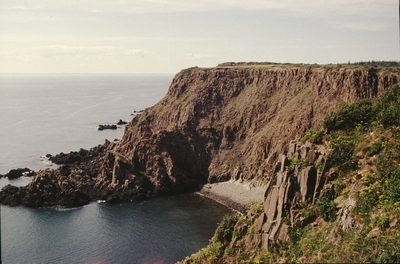
 by Joseph Kelley")
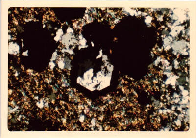
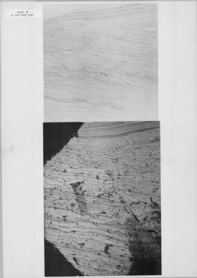
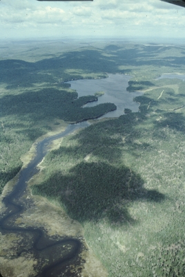
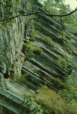
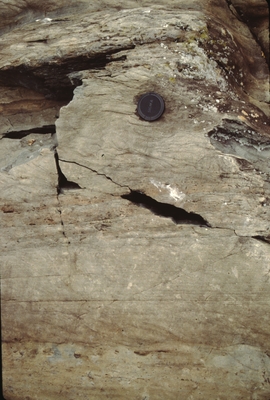
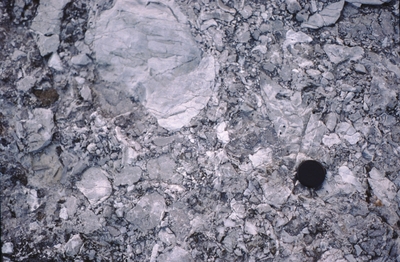
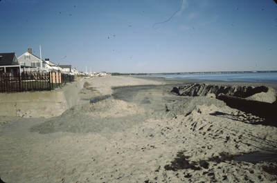
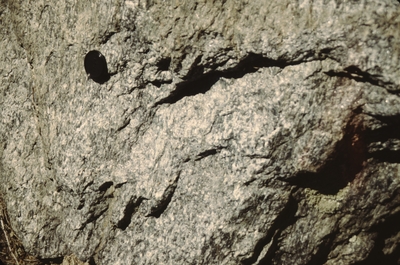
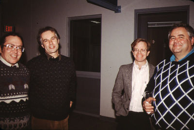
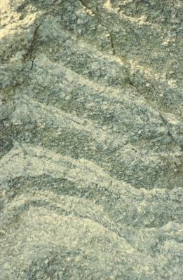
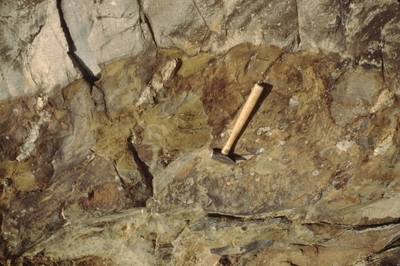
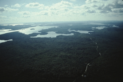
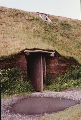
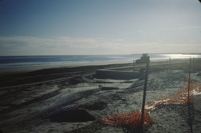
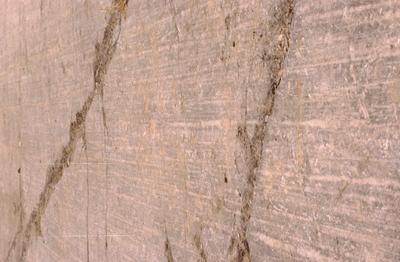
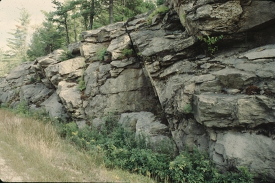
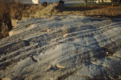
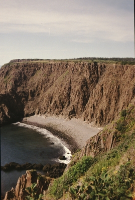
 by Joseph Kelley")
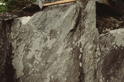
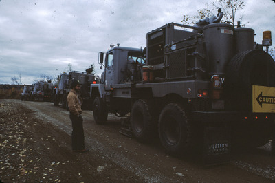
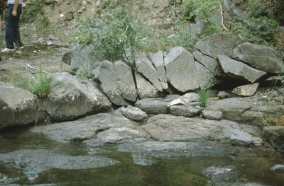
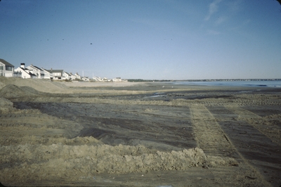
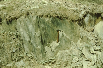
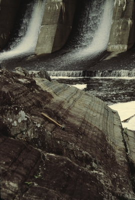
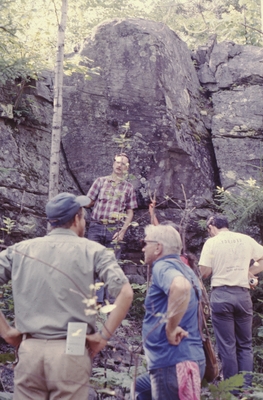
 mill construction next to Second Pd, Blue Hill. by Frederick M. Beck")
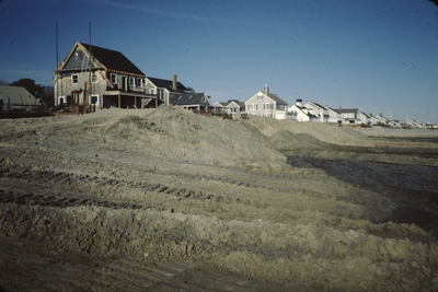
 Mill - construction next to second pond. (9) by Frederick M. Beck")
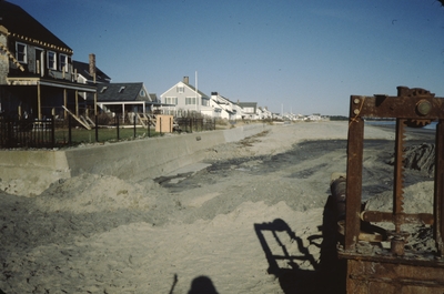
 mill construction next to the second pd., Blue Hill. by Frederick M. Beck")


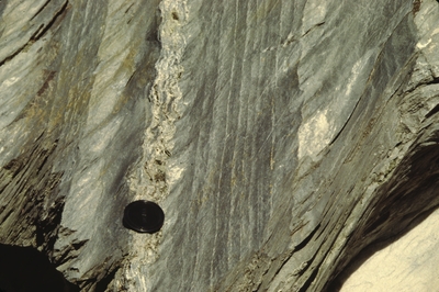
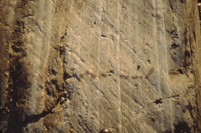
ds")


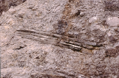
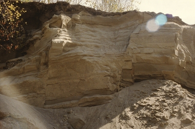
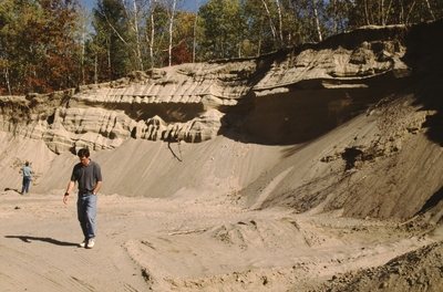
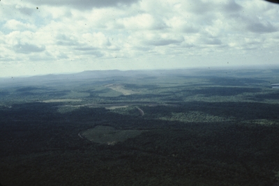
 by M Wiebe")
")
")
")
")
")
")


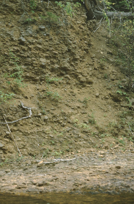
 Mottling in a Loamy Soil")


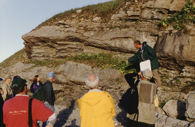
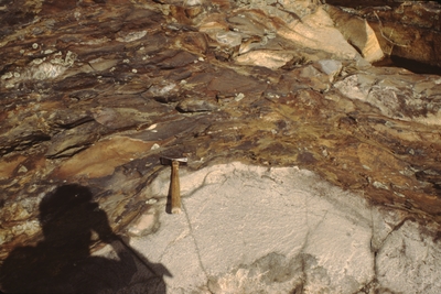
 and Gary Hoyle in Bennett Quarry by Woodrow B. Thompson")


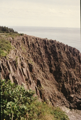
 by Vernon L. Shaw")


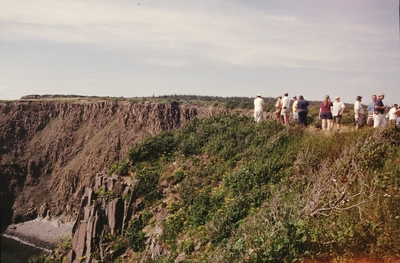
 by Vernon L. Shaw")
 by Vernon L. Shaw")
")


 by Vernon L. Shaw")
 by Vernon L. Shaw")
 by Vernon L. Shaw")
 by Vernon L. Shaw")


 by Vernon L. Shaw")
 by Vernon L. Shaw")
 by Vernon L. Shaw")


 by Woodrow B. Thompson")


 by Vernon L. Shaw")


 by Vernon L. Shaw")
 by Vernon L. Shaw")
 by Vernon L. Shaw")
")


