


Preview
Contributing Institution
Maine Geological Survey
Document Type
Image
Identifier
11331
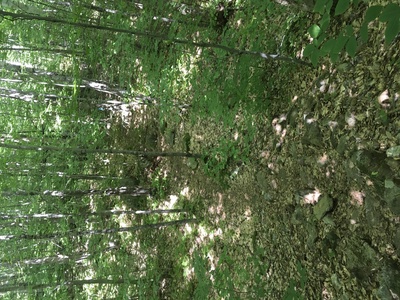
Description
Area where Connector Trail descends into a former glacial meltwater channel.
Project Name: STATEMAP Roxbury Surficial
Exact Creation Date
8-15-2019
Location
Township 6 North of Weld
Supplemental Rights
Credit must be given to the photographer and the Maine Geological Survey when this photo is displayed, reproduced, distributed and/or used in derivative works.
Keywords
Tumbledown Mountain; surficial mapping; meltwater channel; Connector Trail