


Preview
Contributing Institution
Maine Geological Survey
Document Type
Image
Identifier
72127
Description
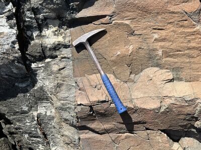
Photo 1: Contact of the Christmas Cove diabase dike (J2cc) on the right with previously deformed and metamorphosed rocks of the Bucksport Formation (Sb) on the left. This particular dike, the largest in the region (McHone and others, 2014), can be traced across much of mid-coastal Maine (Hussey and Marvinney, 2002; Hussey and Berry, 2002). The locations of additional smaller dikes (Photo 2) are shown on the map with red symbols. North of Pumpkin Cove, Bristol.
Project Name: STATEMAP New Harbor Bedrock24k
Exact Creation Date
5-23-2022
Location
Bristol
Supplemental Rights
Credit must be given to the photographer and the Maine Geological Survey when this photo is displayed, reproduced, distributed and/or used in derivative works.
Keywords
bedrock mapping; outcrop; STATEMAP; New Harbor