


Preview
Contributing Institution
Maine Geological Survey
Document Type
Image
Identifier
67286
Description
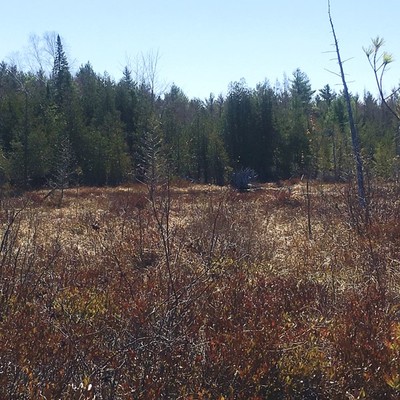
View of Kanokolus Bog along the western quadrangle edge. Wetlands are common in the Unity quadrangle – even in upland areas – mostly due to shallow depth to bedrock that results in poor drainage.
Project Name: STATEMAP Unity Surficial
Location
Unity
Supplemental Rights
Credit must be given to the photographer and the Maine Geological Survey when this photo is displayed, reproduced, distributed and/or used in derivative works.
Keywords
STATEMAP; Unity quadrangle; surficial geology; Kanokolus Bog