


Preview
Contributing Institution
Maine Geological Survey
Document Type
Image
Identifier
67285
Description
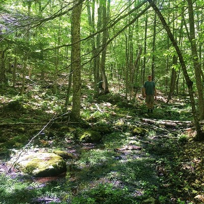
This bouldery swale once served as a path for torrents of glacial meltwater. Similar features in the quadrangle were revealed when lidar topographic data became available. Meltwater flow direction was away from the photographer.
Project Name: STATEMAP Unity Surficial
Location
Thorndike
Supplemental Rights
Credit must be given to the photographer and the Maine Geological Survey when this photo is displayed, reproduced, distributed and/or used in derivative works.
Keywords
STATEMAP; Unity quadrangle; surficial geology; meltwater channel