


Preview
Contributing Institution
Maine Geological Survey
Document Type
Image
Identifier
67284
Description
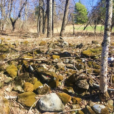
Miles and miles of rock walls in the Unity quadrangle, such as this remnant in the Sebasticook Land Trust Richardson Preserve, were created when pesky boulders were plucked from fields comprised of glacial till to make farming easier.
Project Name: STATEMAP Unity Surficial
Location
Unity
Supplemental Rights
Credit must be given to the photographer and the Maine Geological Survey when this photo is displayed, reproduced, distributed and/or used in derivative works.
Keywords
STATEMAP; Unity quadrangle; surficial geology; rock wall; glacial till