• Home
  • Search
  • Browse State Agencies
  • My Account
  • About
  • DC Network Digital Commons Network™
Skip to main content
Digital Maine Maine State Library
  • Home
  • About
  • FAQs
  • My Account

Home > StateDocs > sos > ARCHIVES > ARC_IMG > ARC_MAPS > ARC_BAXTER

Baxter Rare Maps

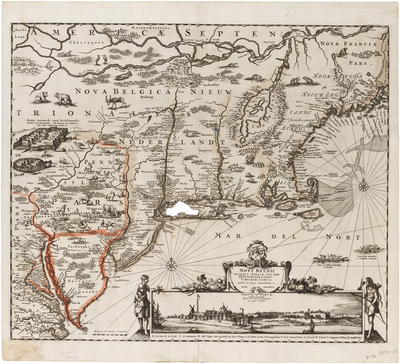
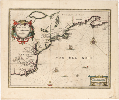
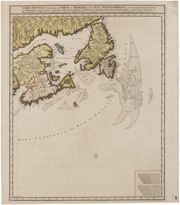
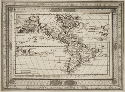
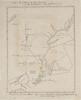
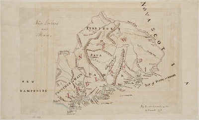
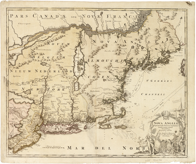
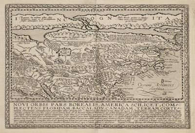
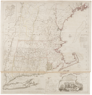
The noted antiquarian, James Phinney Baxter of Portland, Maine, commissioned copies of many historical maps located in Great Britain and Europe in the late 19th century. He later donated this collection of approximately ninety maps to the State of Maine. These copies now reside among the holdings of the Maine State Archives.

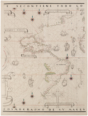
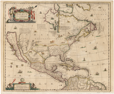
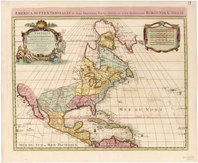
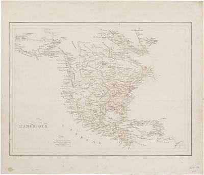
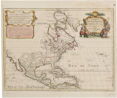
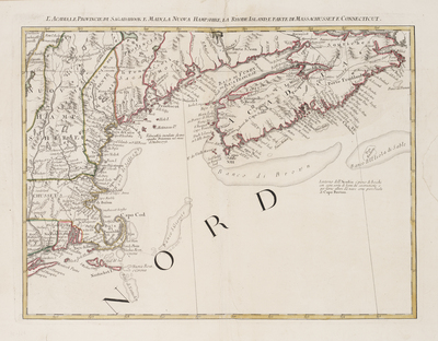
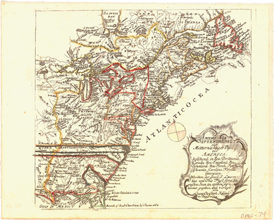
The term septentrion (and its various forms) refers to the northern regions. This term comes from the Latin meaning the “seven plow oxen” referring to the seven principal stars of Ursa Major (the Big Dipper), of which Polaris (the North star) is one. From that root it was generalized and used in cartography to signify the northerly direction. Descriptions courtesy of Leventhal Map Library http://www.leventhalmap.org/, Library of Congress https://www.loc.gov/maps/, http://raremaps.com, the Osher Map Library http://www.oshermaps.org/, and others.
Printing is not supported at the primary Gallery Thumbnail page. Please first navigate to a specific Image before printing.

Follow

Switch View to List View Slideshow
 
  • BMC 49--Coast of New England from Berwick, Maine to Cape Cod

    BMC 49--Coast of New England from Berwick, Maine to Cape Cod

  • BMC 50--The Prospect of Saco Fort, 1699

    BMC 50--The Prospect of Saco Fort, 1699

  • BMC 51--The Prospect of Saco Fort, 1699

    BMC 51--The Prospect of Saco Fort, 1699

  • BMC 52--Province of New Hampshire, 1730 by David Dunbar

    BMC 52--Province of New Hampshire, 1730

  • BMC 53--Massachusetts and Provinces of New Hampshire and Maine, circa 1760

    BMC 53--Massachusetts and Provinces of New Hampshire and Maine, circa 1760

  • BMC 54--Pascatway River in New England, circa 1670

    BMC 54--Pascatway River in New England, circa 1670

  • BMC 55--The Province of Maine From the Best Authorities, 1794 by Samuel Lewis

    BMC 55--The Province of Maine From the Best Authorities, 1794

  • BMC 56--Geographical, Statistical, and Historical Map of Maine, 1826 by Henry Charles Carey and Isaac Lea

    BMC 56--Geographical, Statistical, and Historical Map of Maine, 1826

  • BMC 57--Carte Geographique, Statistique et Historique Du Maine, circa 1822 by Jean Alexandre Buchon

    BMC 57--Carte Geographique, Statistique et Historique Du Maine, circa 1822

  • BMC 58--Carta Della Nuova Inghilterra Nuova Iork, e Pensilvania; 1763 by Giovanni Tommasso Masi and Jacques Nicholas Bellin

    BMC 58--Carta Della Nuova Inghilterra Nuova Iork, e Pensilvania; 1763

  • BMC 59--A Correct Plan of the Province of New Hampshire together with part of Hudson River from Albany to Lake George and from thence thro' Lake Champlain to Mont Real: taken from a great number of exact attested Plans of particular parts of the Country & accurate observations of the Sea Coast. Also a General View of the River St Lawrence from Mont Real to Quebec; 1756

    BMC 59--A Correct Plan of the Province of New Hampshire together with part of Hudson River from Albany to Lake George and from thence thro' Lake Champlain to Mont Real: taken from a great number of exact attested Plans of particular parts of the Country & accurate observations of the Sea Coast. Also a General View of the River St Lawrence from Mont Real to Quebec; 1756

  • BMC 60--Nouvelle France, Nova Anglia, Nova Scotia, and Virginia, 1684 by William Hack

    BMC 60--Nouvelle France, Nova Anglia, Nova Scotia, and Virginia, 1684

  • BMC 61--A Survey for Six Townships On East Side of River Penobscot in the Territory of Sagadahoc in New England MDCCXIII

    BMC 61--A Survey for Six Townships On East Side of River Penobscot in the Territory of Sagadahoc in New England MDCCXIII

  • BMC 62A, 62B--L'Acadia, le Provincie di Sagadahook e Main, la Nuova Hampshire, la Rhode Island, e parte di Massachusset e Connceticut, 1778 by Antonio Zatta

    BMC 62A, 62B--L'Acadia, le Provincie di Sagadahook e Main, la Nuova Hampshire, la Rhode Island, e parte di Massachusset e Connceticut, 1778

  • BMC 63--Nova Francia et Regiones Adiacentes, 1633 by Johannes de Laet

    BMC 63--Nova Francia et Regiones Adiacentes, 1633

  • BMC 64--Almond-shaped Mappa Mundi by Ranulf Higden circa 1350 by Ranulf Higden

    BMC 64--Almond-shaped Mappa Mundi by Ranulf Higden circa 1350

 
  • 1
  • 2
  • 3
  • 4
  • 5
  • 6


Search

Advanced Search

  • Notify me via email or RSS

Browse

  • State Agencies
  • Subjects
  • Contributors

For Agency Contributors

  • FAQs
  • Submit Images

Links

  • Maine State Archives

Featured Links

  • Maine Government
  • Maine State Library
  • Maine State Agencies
  • Digital Maine Partners

Gallery Locations

  • View gallery on map
  • View gallery in Google Earth
 
Elsevier - Digital Commons

Home | About | FAQ | My Account | Accessibility Statement

Privacy Copyright