

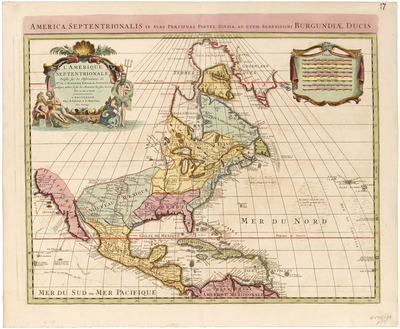
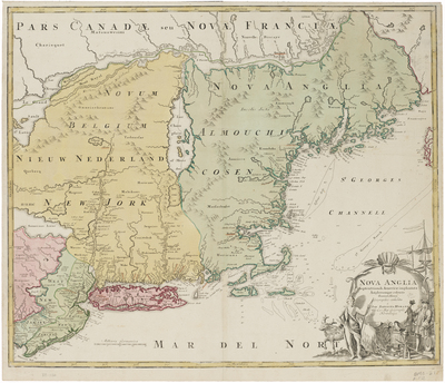
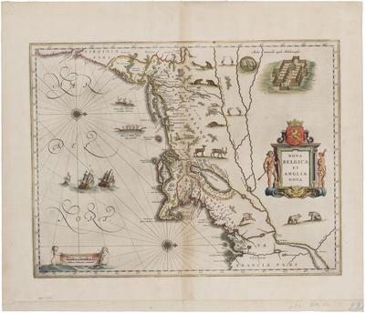
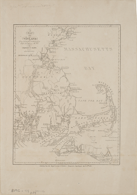
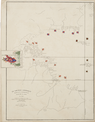
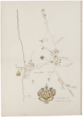
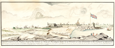
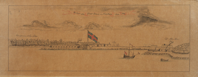
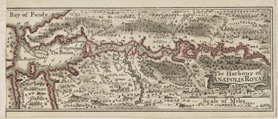
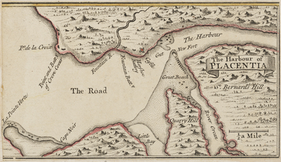
The noted antiquarian, James Phinney Baxter of Portland, Maine, commissioned copies of many historical maps located in Great Britain and Europe in the late 19th century. He later donated this collection of approximately ninety maps to the State of Maine. These copies now reside among the holdings of the Maine State Archives.
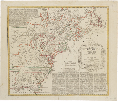
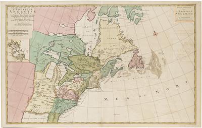
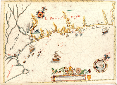
The term septentrion (and its various forms) refers to the northern regions. This term comes from the Latin meaning the “seven plow oxen” referring to the seven principal stars of Ursa Major (the Big Dipper), of which Polaris (the North star) is one. From that root it was generalized and used in cartography to signify the northerly direction. Descriptions courtesy of Leventhal Map Library http://www.leventhalmap.org/, Library of Congress https://www.loc.gov/maps/, http://raremaps.com, the Osher Map Library http://www.oshermaps.org/, and others.
Printing is not supported at the primary Gallery Thumbnail page. Please first navigate to a specific Image before printing.


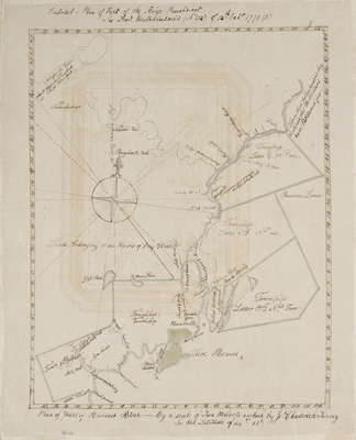
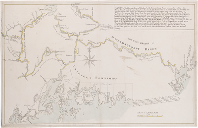
![BMC 69--Plan of the Bay and Rivers of Penobscot and the Islands Lying There Commonly Called the Fox Islands [...], 1764 by Francis Bernard](https://digitalmaine.com/arc_baxter/1078/thumbnail.jpg "BMC 69--Plan of the Bay and Rivers of Penobscot and the Islands Lying There Commonly Called the Fox Islands [...], 1764 by Francis Bernard")


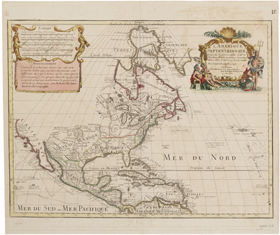
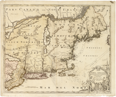
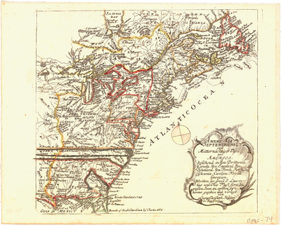
![BMC 74--America Septentrionalis oder Mitternachtiger Theil von America [...], 1762 by Christian Friedrich von der Heiden](https://digitalmaine.com/arc_baxter/1024/thumbnail.jpg "BMC 74--America Septentrionalis oder Mitternachtiger Theil von America [...], 1762 by Christian Friedrich von der Heiden")


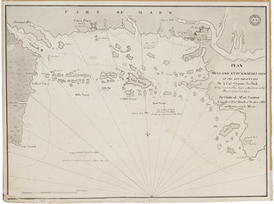
![BMC 79--An authentic plan of the River St. Laurence from Sillery, to the fall of Montmorenci [...], 1759 by Thomas Jefferys](https://digitalmaine.com/arc_baxter/1083/thumbnail.jpg "BMC 79--An authentic plan of the River St. Laurence from Sillery, to the fall of Montmorenci [...], 1759 by Thomas Jefferys")
