Home > StateDocs > sos > ARCHIVES > ARC_IMG > ARC_LAND_OFFICE > PLANBOOK_MAPS > PLANBOOK_KENNEBEC_COUNTY
Follow
Advanced Search


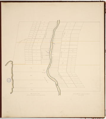
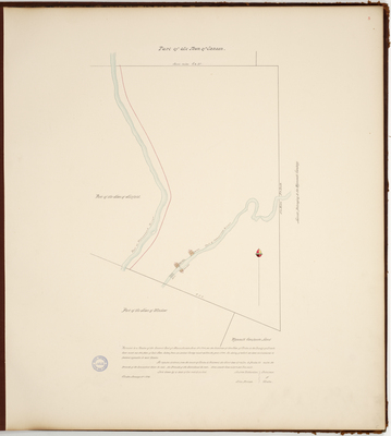
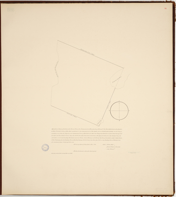
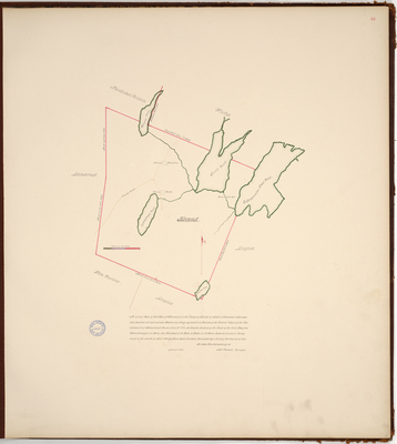
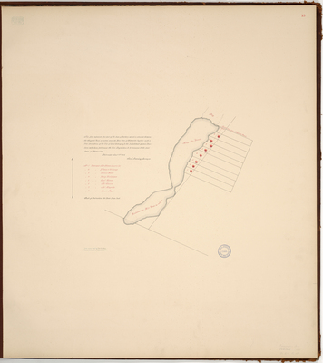
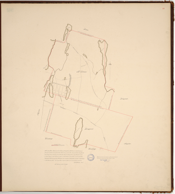
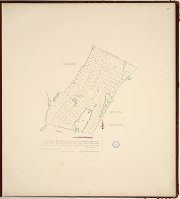
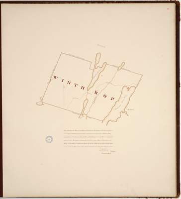
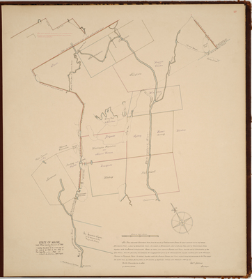
![Page 11. Plan of Wales [Monmouth], 1790. by Amos Davis](https://digitalmaine.com/planbook_kennebec_county/1011/thumbnail.jpg "Page 11. Plan of Wales [Monmouth], 1790. by Amos Davis")


