Home > StateDocs > sos > ARCHIVES > ARC_IMG > ARC_LAND_OFFICE > PLANBOOK_MAPS > PLANBOOK_KENNEBEC_COUNTY
Follow
Advanced Search


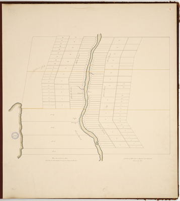
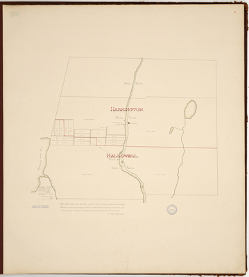
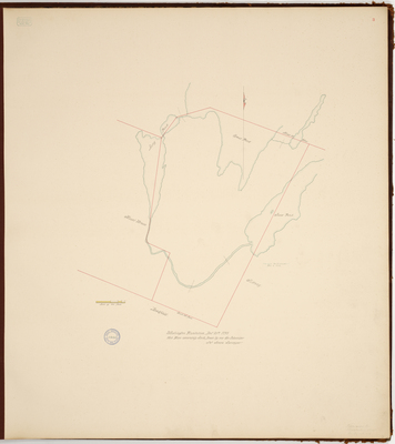
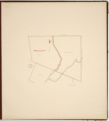
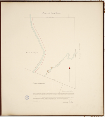
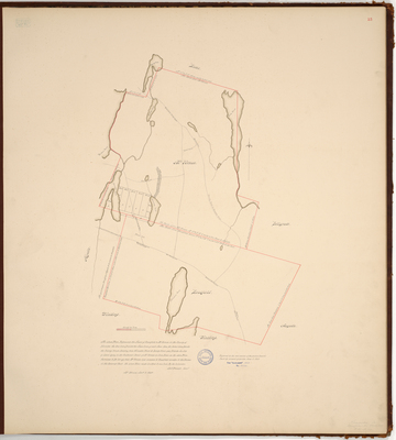
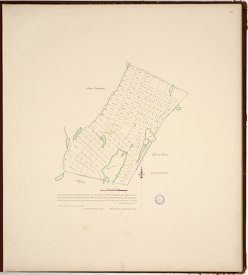
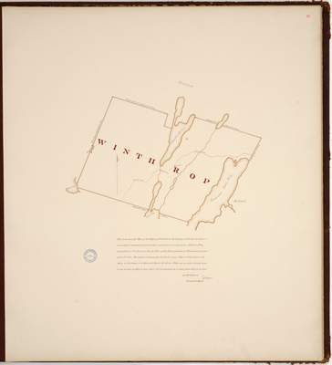
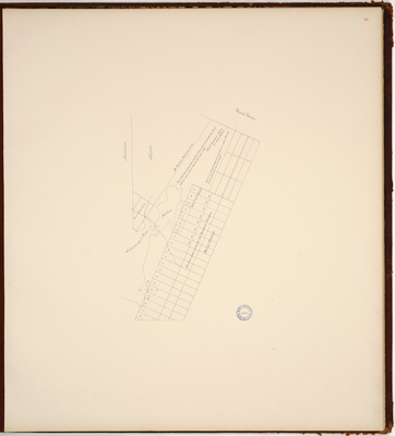
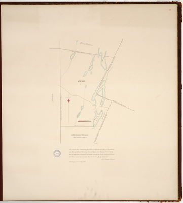
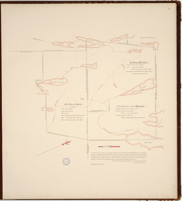
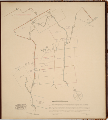
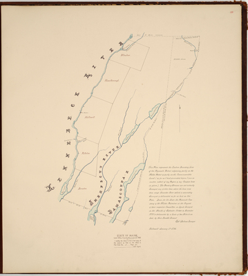
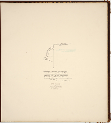
. by Ephraim Ballard")
