Home > StateDocs > sos > ARCHIVES > ARC_IMG > ARC_LAND_OFFICE > PLANBOOK_MAPS > PLANBOOK_8
Follow
Page 9 of 12
Advanced Search


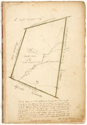
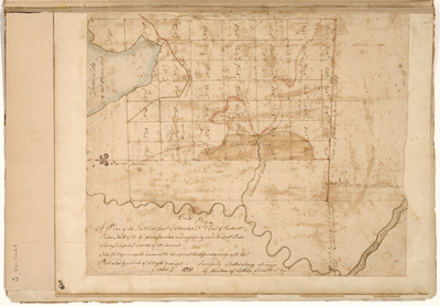
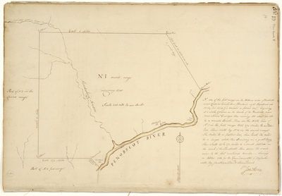
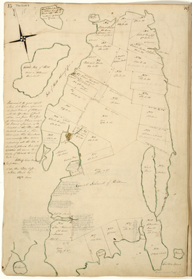
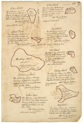
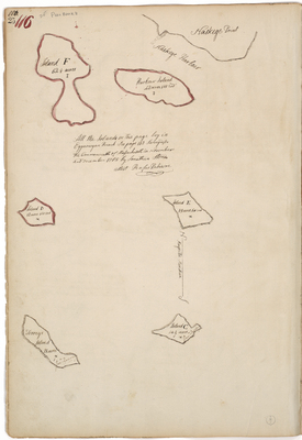
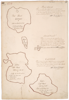
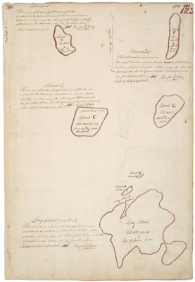
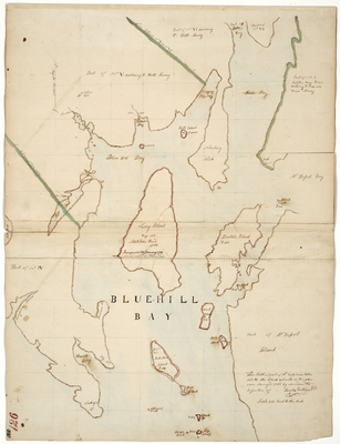
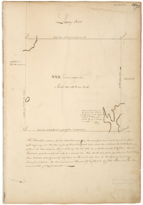
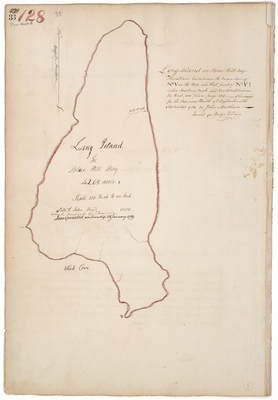
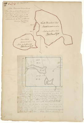
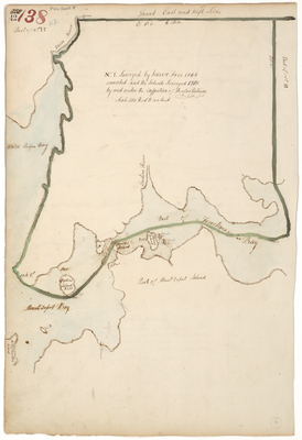
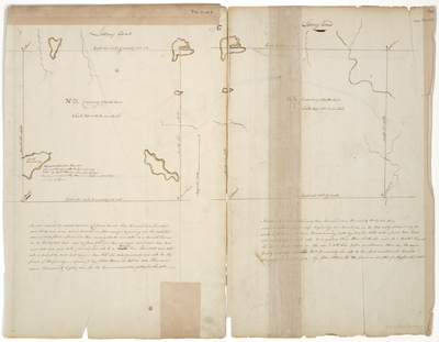
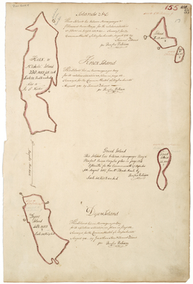
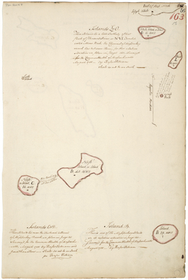
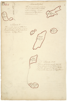
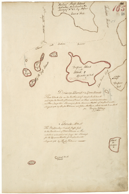
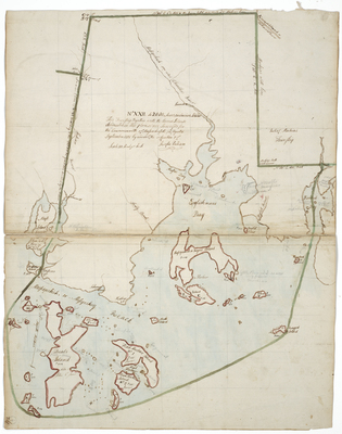
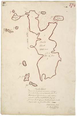
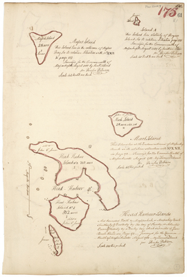
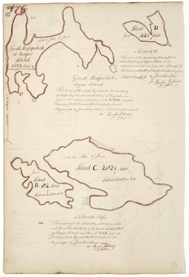
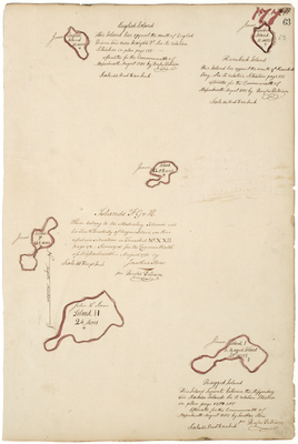
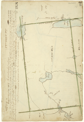
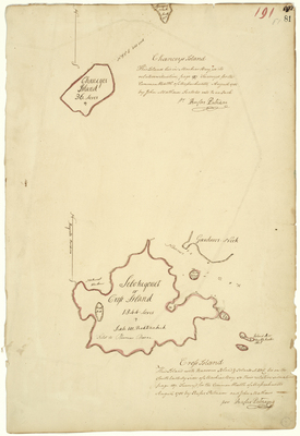
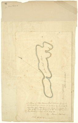
; 1785 by Rufus Putnam")


