Home
Search
Browse State Agencies
My Account
About
Digital Commons Network™
Skip to main content
Home
About
FAQs
My Account
Home
>
StateDocs
>
sos
>
ARCHIVES
>
ARC_IMG
>
ARC_LAND_OFFICE
>
PLANBOOK_MAPS
>
PLANBOOK_8
Plan Book 8
Printing is not supported at the primary Gallery Thumbnail page. Please first navigate to a specific Image before printing.
Follow
Switch View to List
View Slideshow
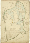
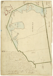
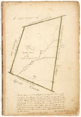
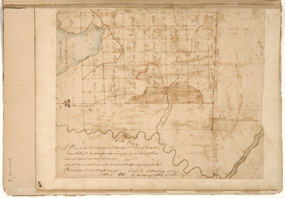
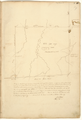
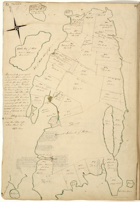
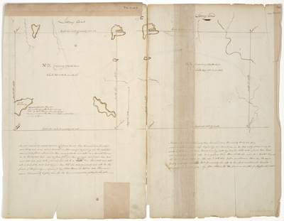
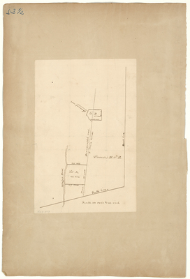
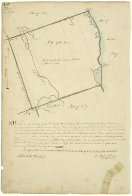
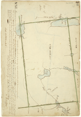
Page 76. Plan of Number 8 near Lubec, 1785
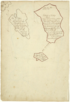
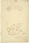
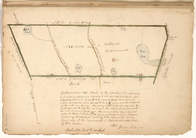
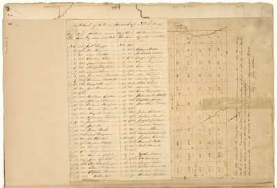
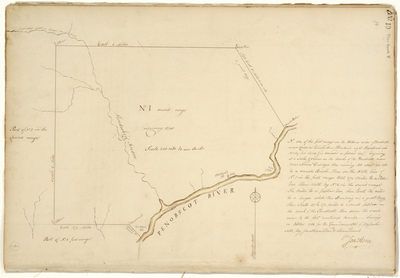
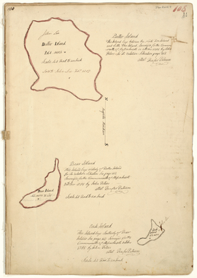
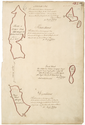
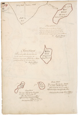
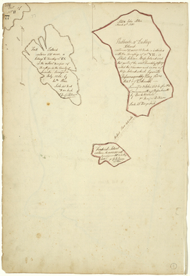
Page 77. Fall Island, Hubbards or Dudley Island, and Fredrick Island, 1785
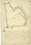
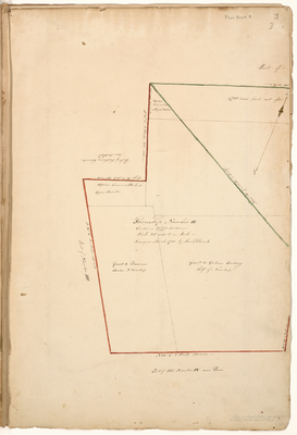
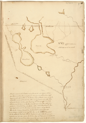
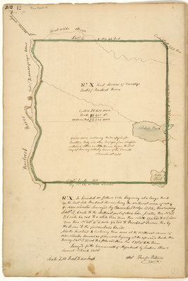
Page 78. Survey of plantation 10 near Cooper, 1785
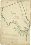
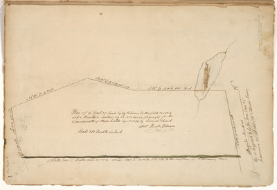
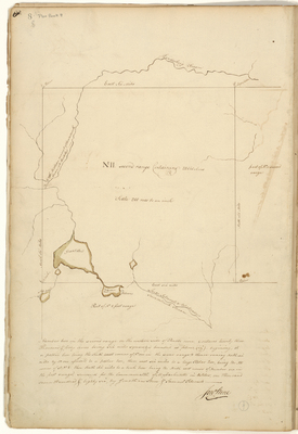
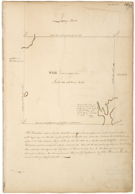
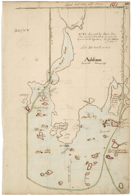
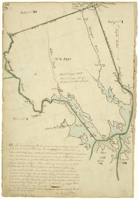
Page 79. Survey of Township 2 near Dennysville and Pembroke, 1785
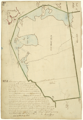
Page 80. Plan of township 11 near Cutler, 1785
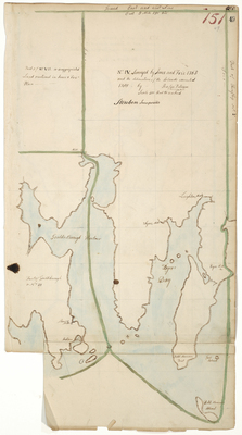
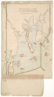
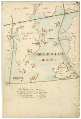
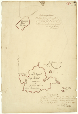
Page 81. Survey of Chanceys Island, and Cross or Sebohegonet Island, in Machias Bay
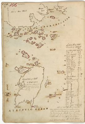
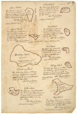
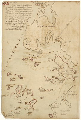
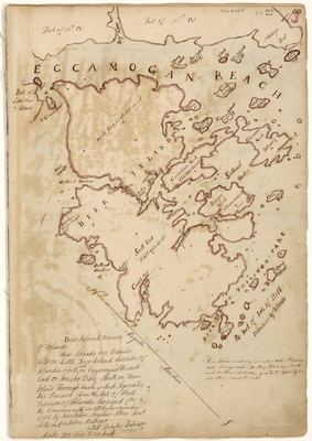
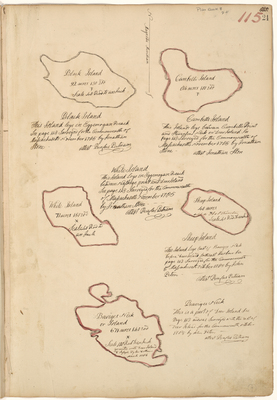
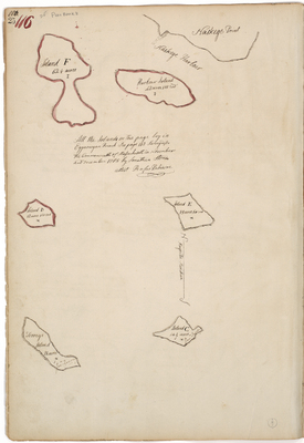
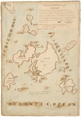
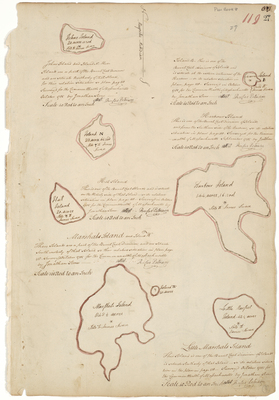
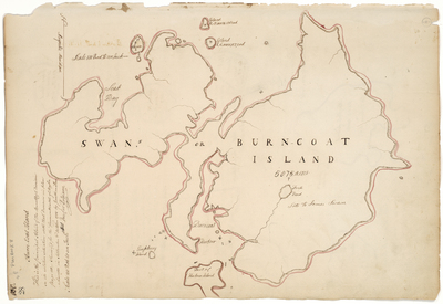
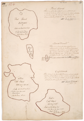
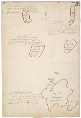
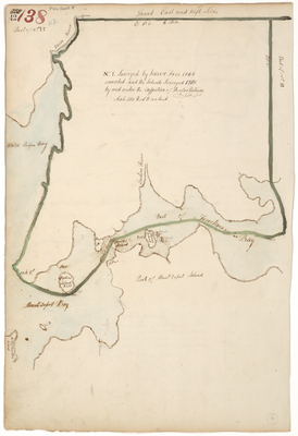
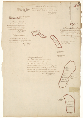
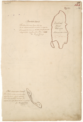
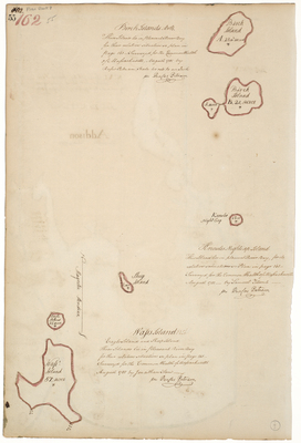
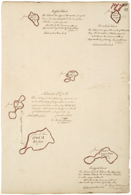
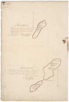
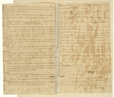
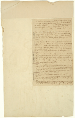
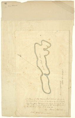
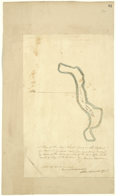
Page 82.5.1. A Schedule of Islands in the District of Maine lying without the Distance of three miles from the Waldo Patent (so called), surveyed & viewed by Order of the commissioners of the Land Office in the month of May A.D. 1819.
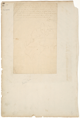
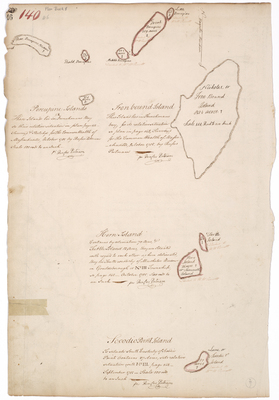
Page 82.5. A Schedule of Islands in the District of Maine lying without the Distance of three miles from the Waldo Patent (so called), surveyed & viewed by Order of the commissioners of the Land Office in the month of May A.D. 1819.
Page
11
of
12
6
7
8
9
10
11
12
Search
Enter search terms:
Select context to search:
in this collection
Digital Maine
Advanced Search
Notify me via email or
RSS
Browse
State Agencies
Subjects
Contributors
For Agency Contributors
FAQs
Featured Links
Maine Government
Maine State Library
Maine State Agencies
Digital Maine Partners
Gallery Locations
View gallery on map
View gallery in Google Earth