

Preview
Document Type
StillImage
Contributing Institution
Maine State Archives
Identifier
208369
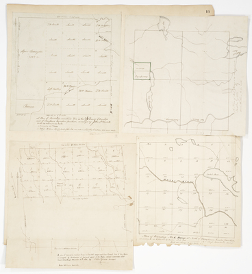
Description
Plan of Township 2 Range 5 BKP
Plan of Township 5 Range 3 (Oakfield)
Plan of Township 3 Range 6 WELS
Plan of Township 6 Range 1 NBKP
Broad Creation Date
1831-1855
Language
English
Location
Aroostook County; Oakfield
Other Location
Spaulding Lake; Mattawamkeag River; Alder Stream; Dead River; Molunkus Stream; Aroostook Road; Moose River
Keywords
Cartography; Maps; Maine Land Office; Planbooks; Surveys