Home > StateDocs > sos > ARCHIVES > ARC_IMG > ARC_MAPS > PLANBOOK_MAPS > PLANBOOK_25
Follow
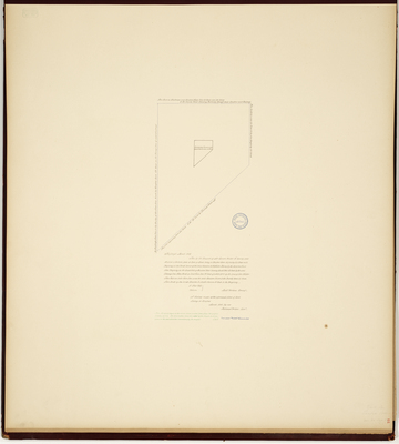
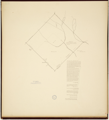
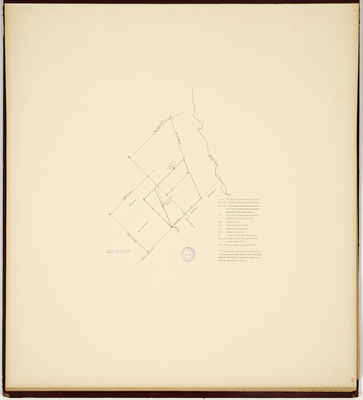
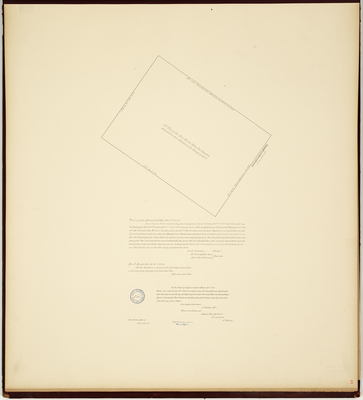
Page 10 of 11
Advanced Search


