Home
Search
Browse State Agencies
My Account
About
Digital Commons Network™
Skip to main content
Home
About
FAQs
My Account
Home
>
StateDocs
>
sos
>
ARCHIVES
>
ARC_IMG
>
ARC_LAND_OFFICE
>
PLANBOOK_MAPS
>
PLANBOOK_25
Plan Book 25
Printing is not supported at the primary Gallery Thumbnail page. Please first navigate to a specific Image before printing.
Follow
Switch View to List
View Slideshow
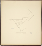
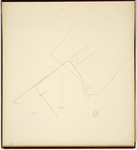
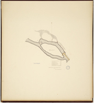
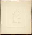
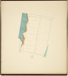
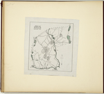
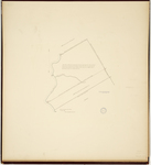
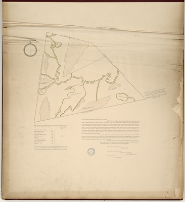
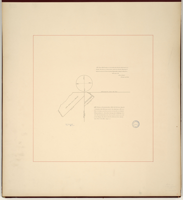
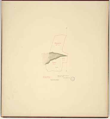
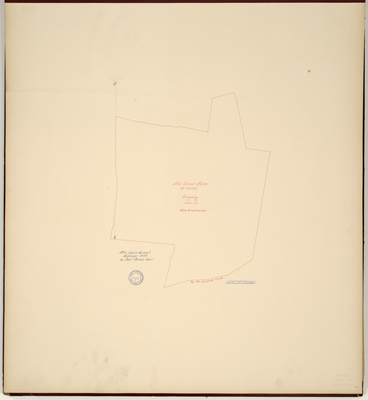
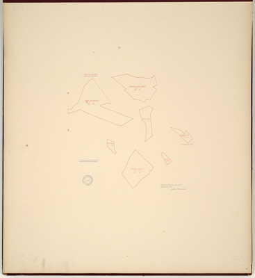
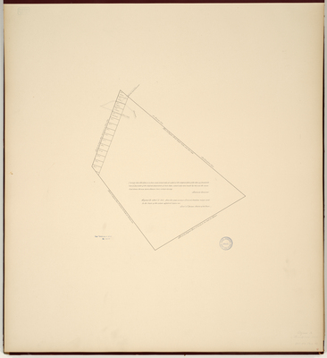
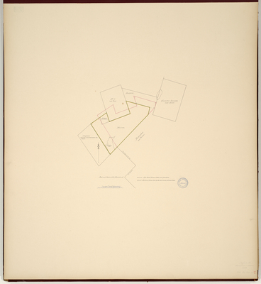
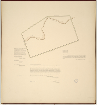
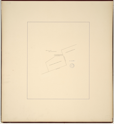
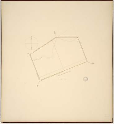
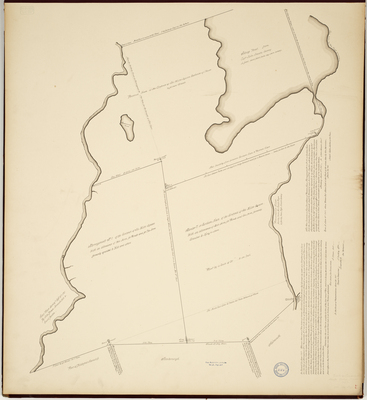
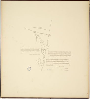
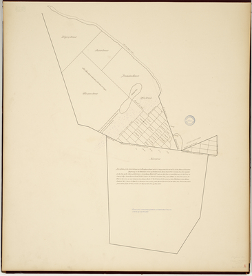
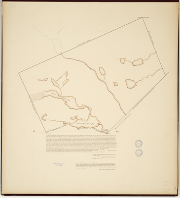
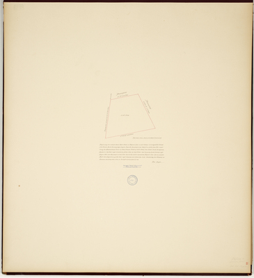
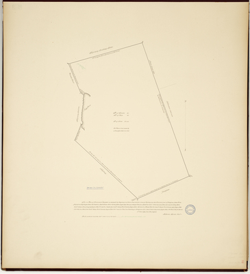
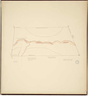
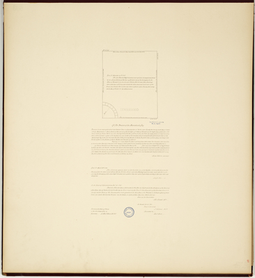
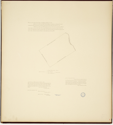
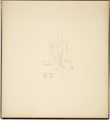
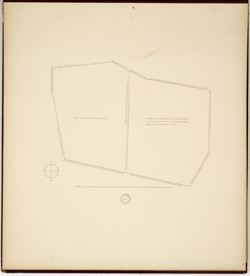
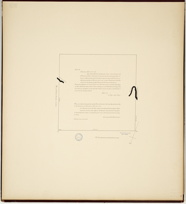
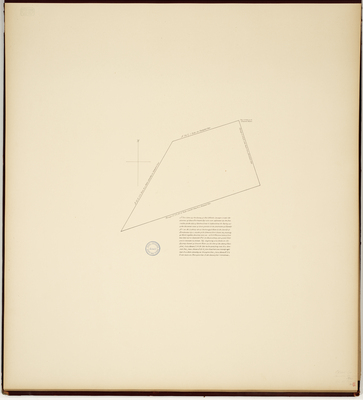
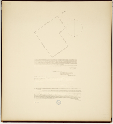
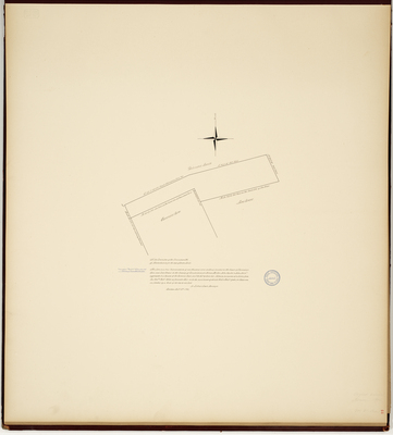
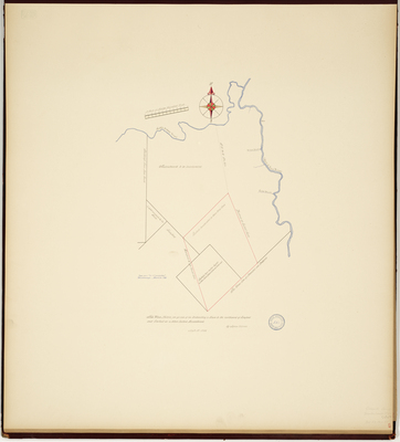
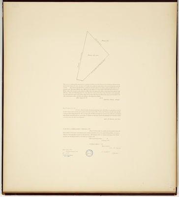
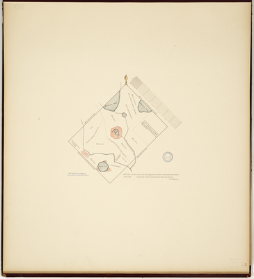
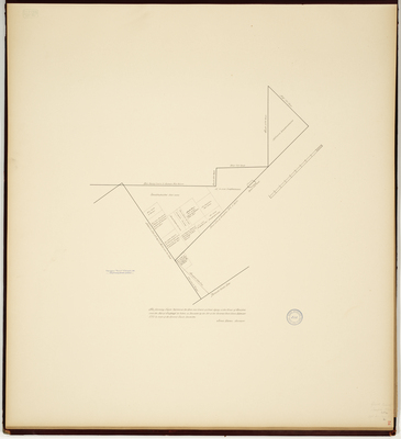
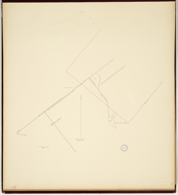
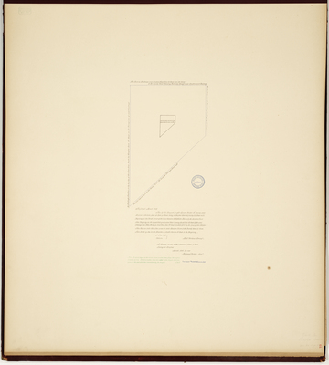
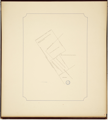
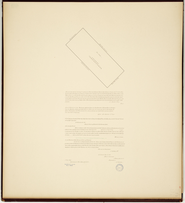
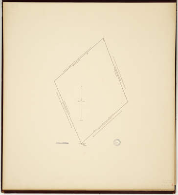
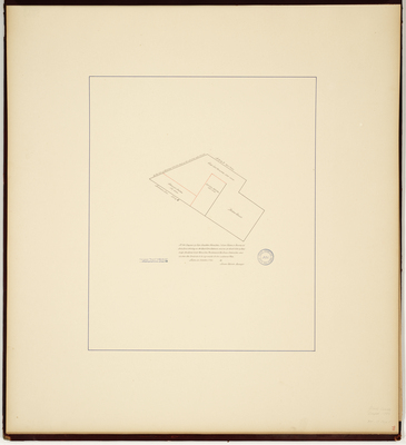
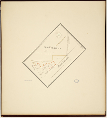
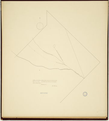
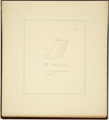
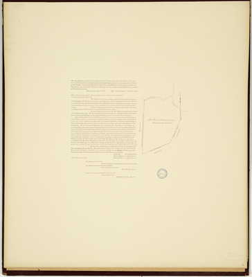
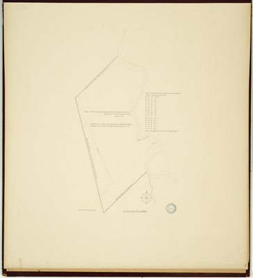
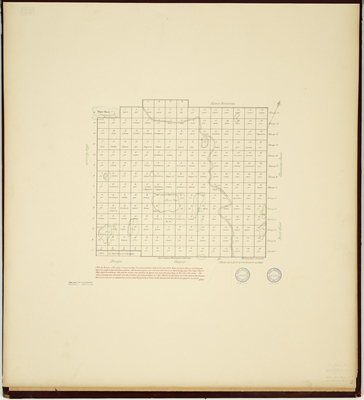
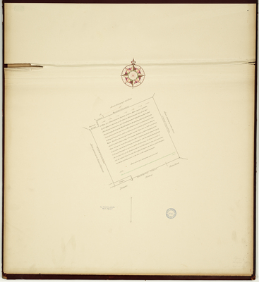
Page 54. Gore and Grant of Land Lying at the Head of Sanford and the Foot of Shapleigh, so called, as Bounded by an Act of the General Court, taken September 1782 by order of the General Courts Committee.
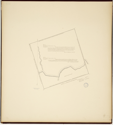
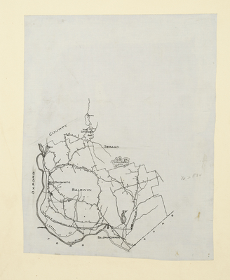
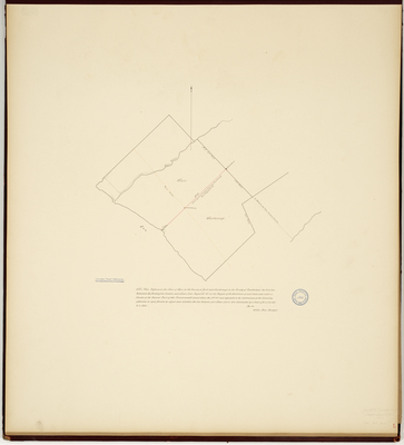
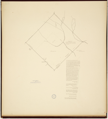
Page 55. Plan of Berwick and Sanford, 1803
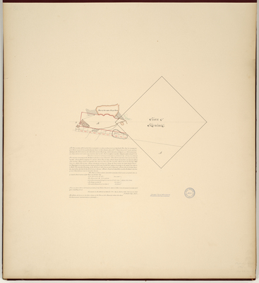
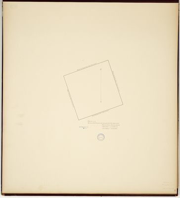
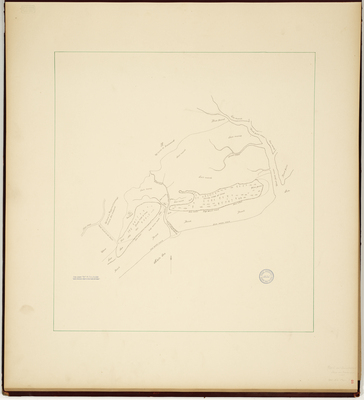
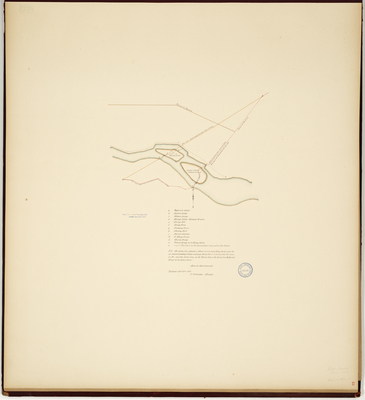
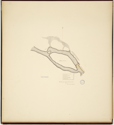
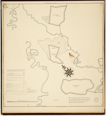
Page 56. Plan of Springs Island and the bridge over the Saco River, 1797
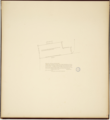
Page 57. Plan of Sanford, 1793.
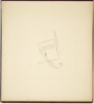
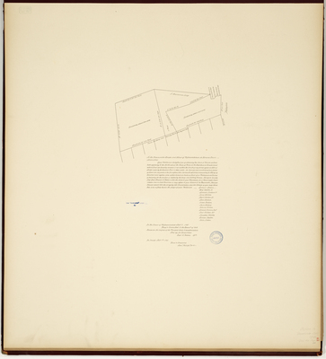
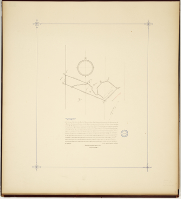
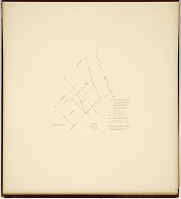
Page 58. Plan of land formerly owned by Sir William Pepperell, 1799
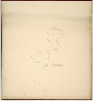
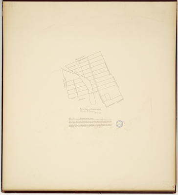
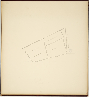
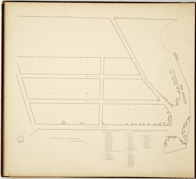
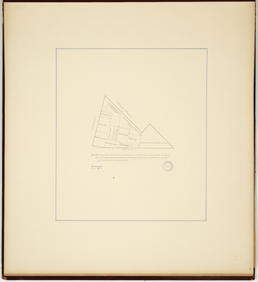
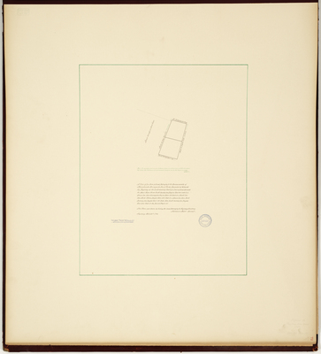
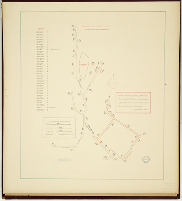
Page 59. Plan of Eleven Lots on Road to Rumford.
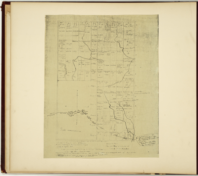
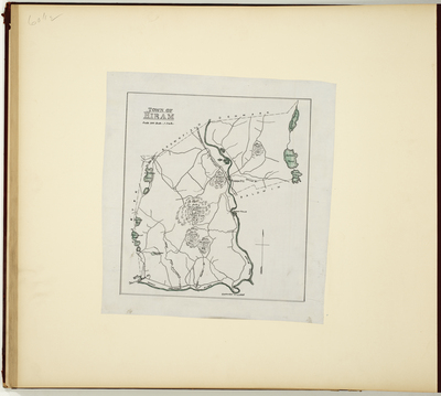
Page 60.5. Plan of the Town of Hiram.
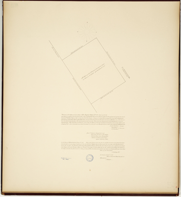
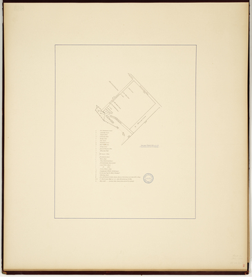
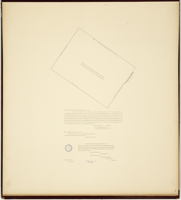
Page 60. Plan of Prescott's Grant, 1816.
Page
8
of
11
5
6
7
8
9
10
11
Search
Enter search terms:
Select context to search:
in this collection
Digital Maine
Advanced Search
Notify me via email or
RSS
Browse
State Agencies
Subjects
Contributors
For Agency Contributors
FAQs
Featured Links
Maine Government
Maine State Library
Maine State Agencies
Digital Maine Partners
Gallery Locations
View gallery on map
View gallery in Google Earth