

Preview
Document Type
StillImage
Contributing Institution
Maine State Archives
Identifier
29421
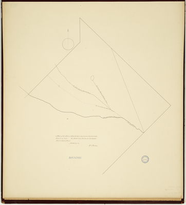
Description
Survey of the town of Alfred on a scale of 160 rods to an inch. Copied from Massachusetts Archives Maps and Plans #1019. Noted on map "From papers Act of Incorporation, Feb. 4, 1794, Town of Alfred."
Exact Creation Date
2-4-1794
Language
English
Location
York County; Alfred
Other Location
Mousam River
Keywords
Cartography; Maps; Maine Land Office; Planbooks; Surveys
Image Location
Rights Statement
No Copyright - United States. URI: http://rightsstatements.org/vocab/NoC-US/1.0/
The organization that has made the Item available believes that the Item is in the Public Domain under the laws of the United States, but a determination was not made as to its copyright status under the copyright laws of other countries. The Item may not be in the Public Domain under the laws of other countries. Please refer to the organization that has made the Item available for more information.