Home > StateDocs > sos > ARCHIVES > ARC_IMG > ARC_MAPS > PLANBOOK_MAPS > PLANBOOK5B
Follow
Advanced Search


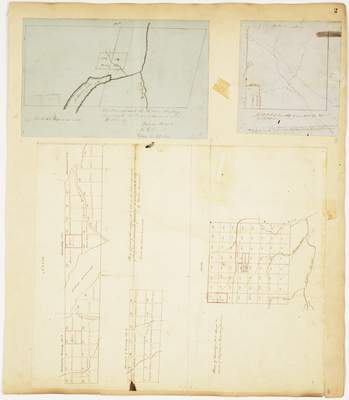
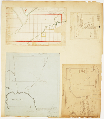
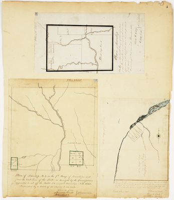
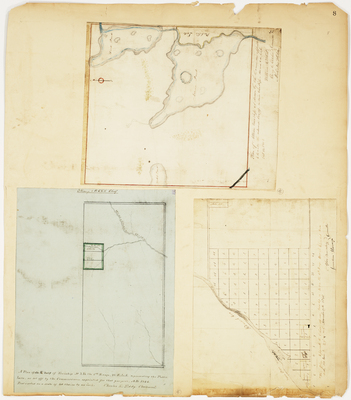
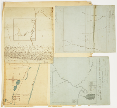
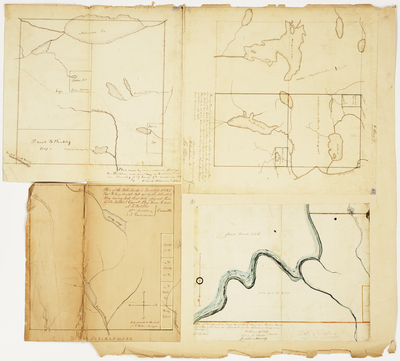
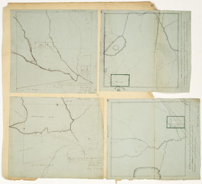
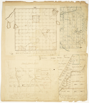
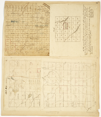
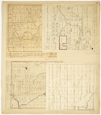
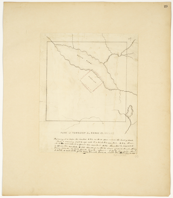
 by C. S. Humphreys")
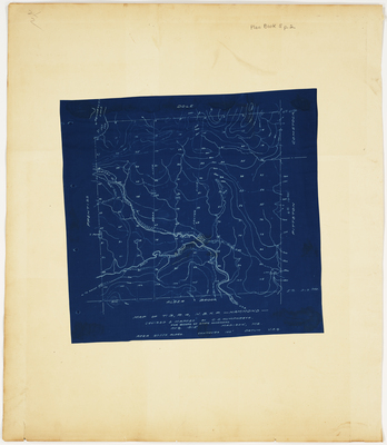
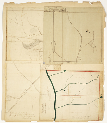
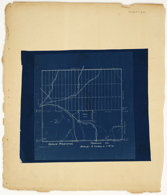
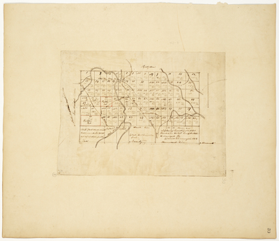
 by Hiram Rockwood")

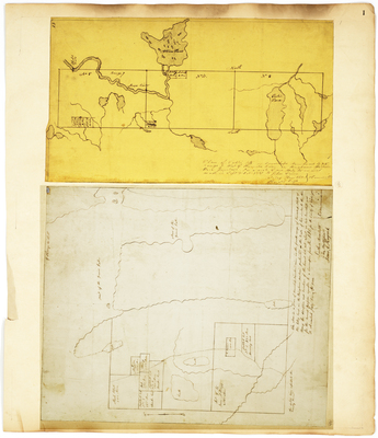
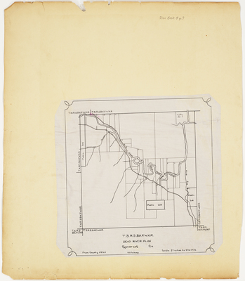
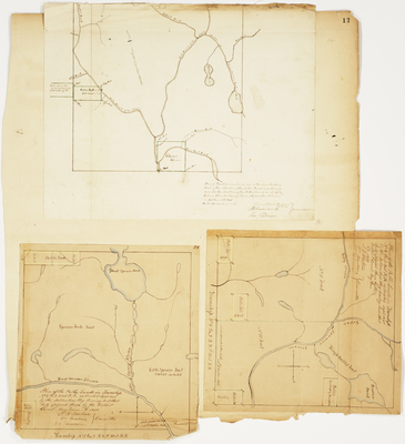
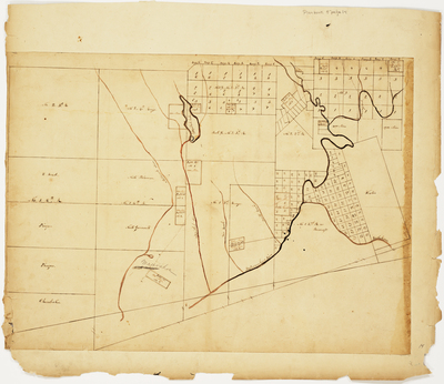
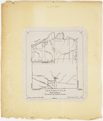
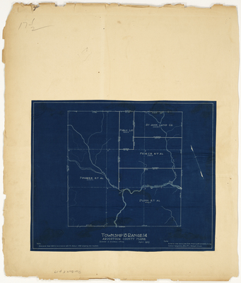
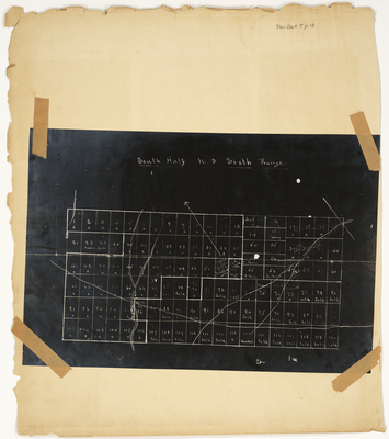
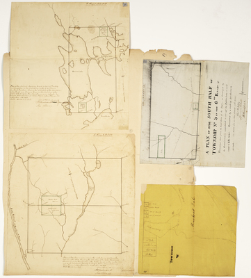
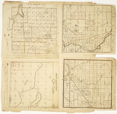
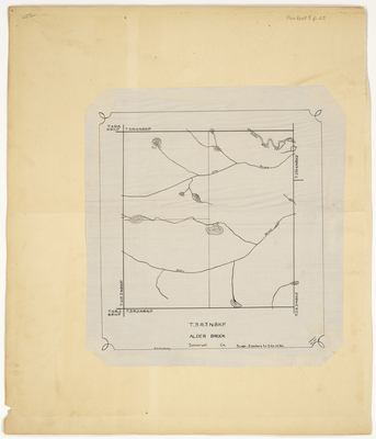
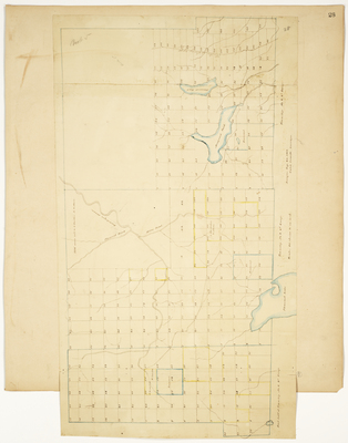
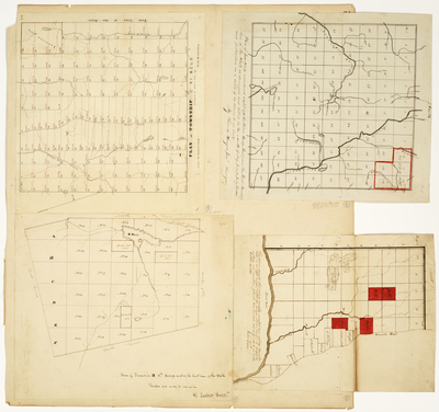
; Plan of Township 6 Range 7 WKR; Plan of Township 2 Range 7 BKP WKR (Misery) by Samuel Weston and John Pierce")

