Home > StateDocs > sos > ARCHIVES > ARC_IMG > ARC_MAPS > PLANBOOK_MAPS > PLANBOOK5B
Follow
Advanced Search


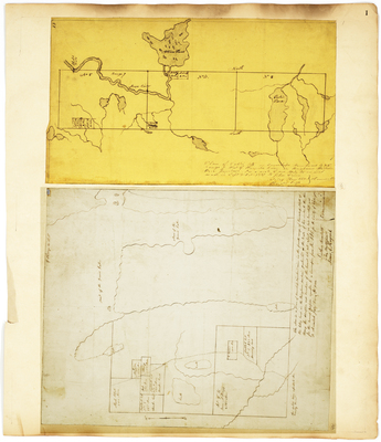
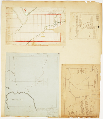
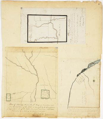
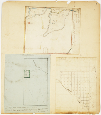
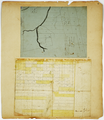
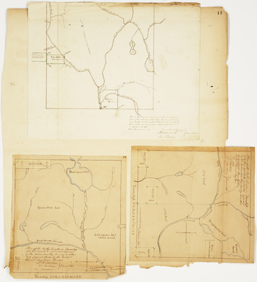
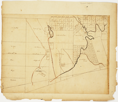
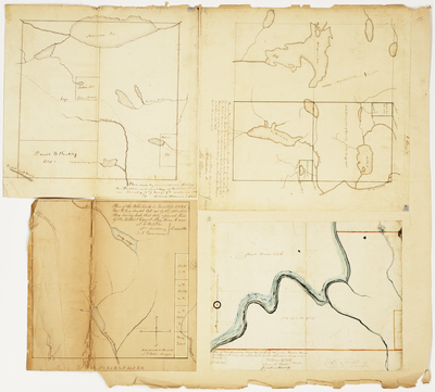
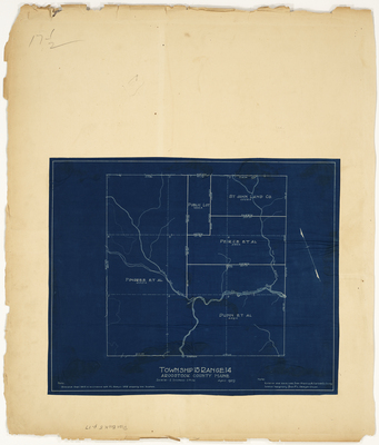
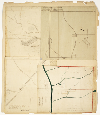
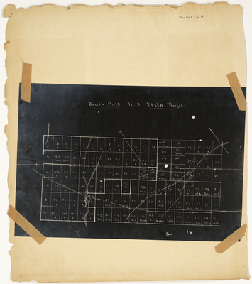
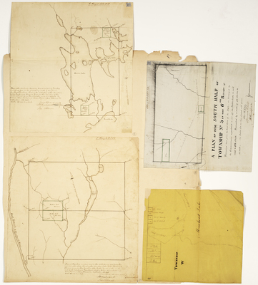
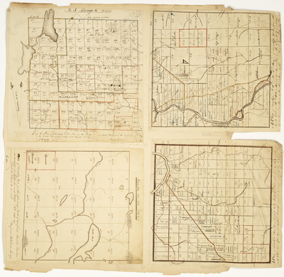
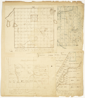
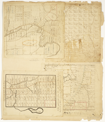
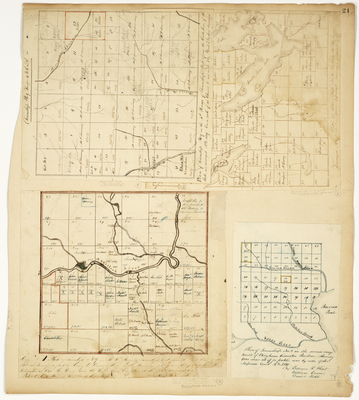
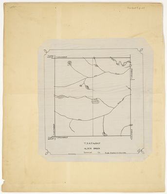
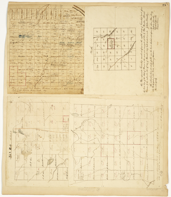
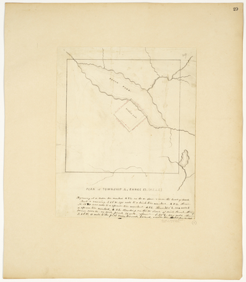
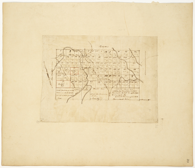
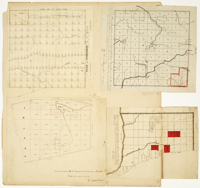
; Plan of the Public Land in Township 3 in Range 14; Plan of Township 4 West of Kennebec River in the Million Acres known as the King & Bartlett Township by John Pierce, Joseph Spaulding, Edward Webster, William Flint, George Getchell, William Spaulding, Eben Greenleaf, Josiah Spaulding, and Aretas Chapin")


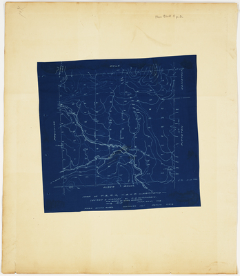
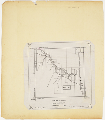
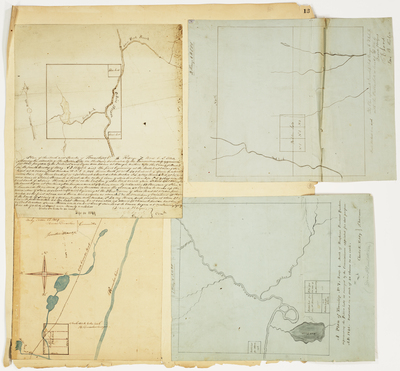
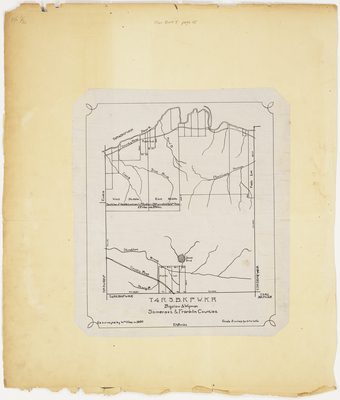
, Somerset County by R. R. Mullaney")

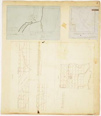
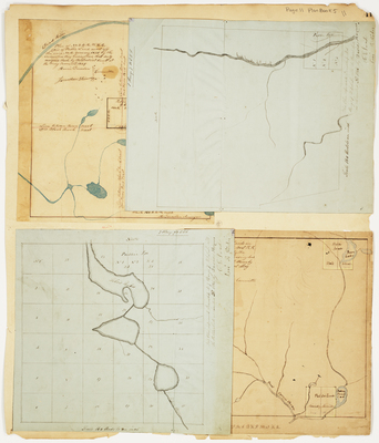
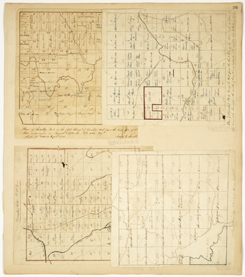
; Plan of Public Lot, Highland Plantation by Harris Garcelon, Raymond Whitney, and William Flint")
