

Preview
Contributing Institution
Maine State Archives
Document Type
Image
Identifier
4-324254-I002
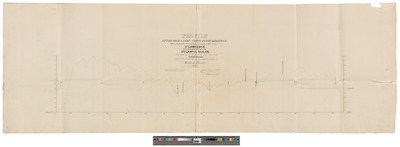
Description
Profile of the Highlands North of the Kedgewick Which Separate the Waters Running Into the River St. Lawrence From Those Which Fall Into the Atlantic Ocean. Surveyed by order of the Board of Commissioners on the North Eastern Boundary of the State of Maine, 1838.
Horizontal scale 160 rods to 1 inch. Vertical scale 200 feet to 1 inch.
Exact Creation Date
1838
Language
English
Other Location
Mitis River, Quebec; Kedgewick River, New Brunswick
Keywords
Cartography; Maps; Surveys