Home
Search
Browse State Agencies
My Account
About
Digital Commons Network™
Skip to main content
Home
About
FAQs
My Account
Home
>
StateDocs
>
sos
>
ARCHIVES
>
ARC_IMG
>
ARC_MAPS
>
MAPS_BY_COUNTY
>
MAPS_SOMERSET_COUNTY
Somerset County
Printing is not supported at the primary Gallery Thumbnail page. Please first navigate to a specific Image before printing.
Follow
Switch View to List
View Slideshow
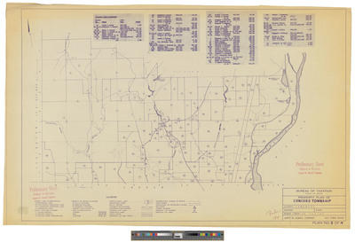
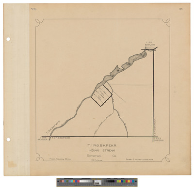
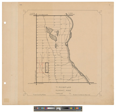
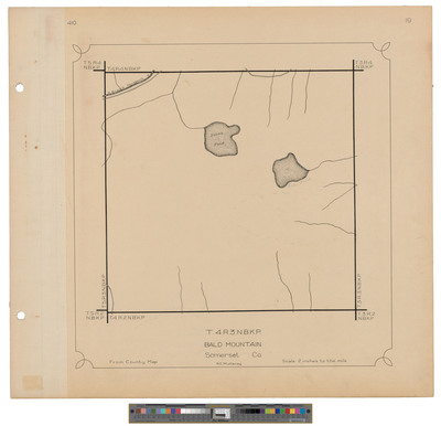
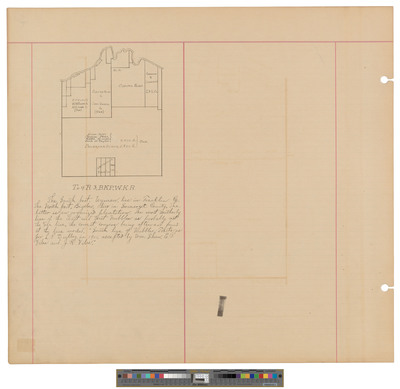
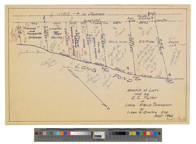
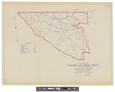
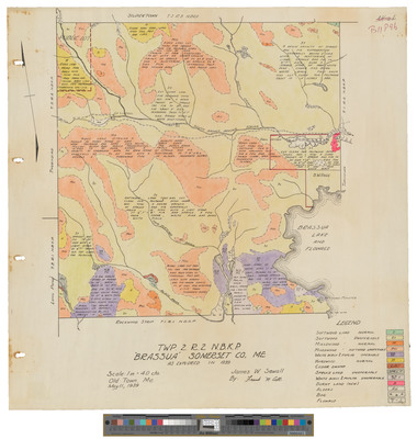
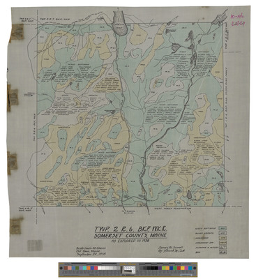
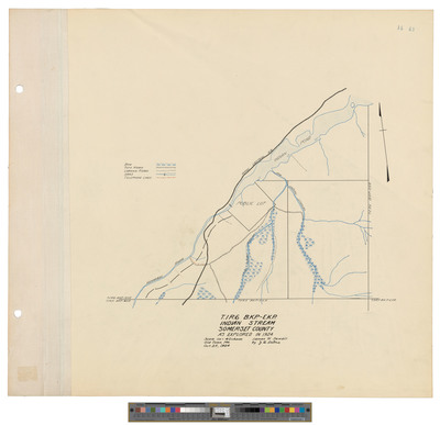
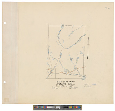
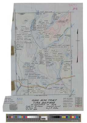
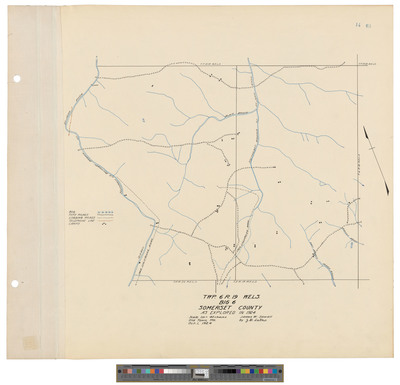
Township 2 Range 3, BKP EKR, Bald Mountain Township. Shows lots, railroad and roads.
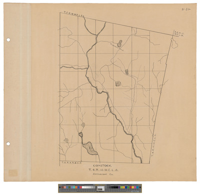
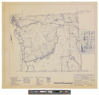
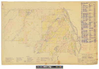
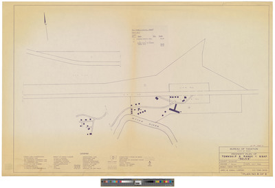
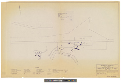
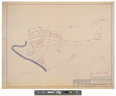
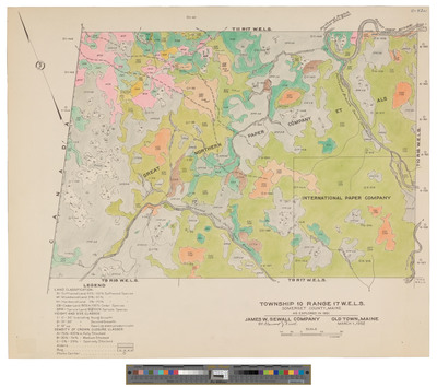
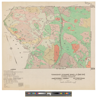
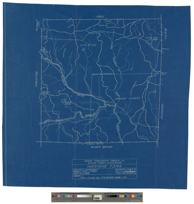
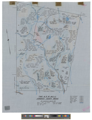
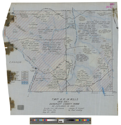
Township 4 Range 16 WELS, Elm Stream Township. Shows public lots, roads and turnpike.
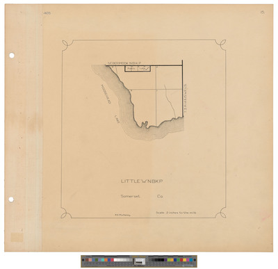
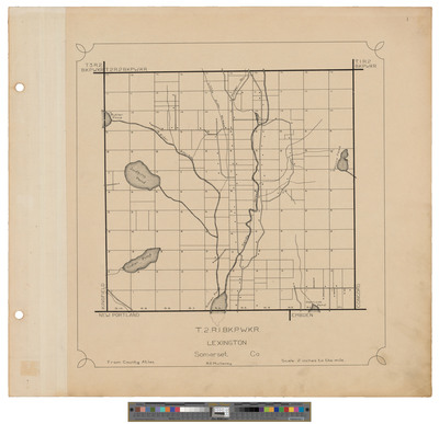
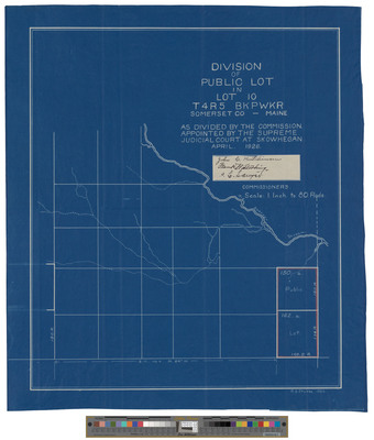
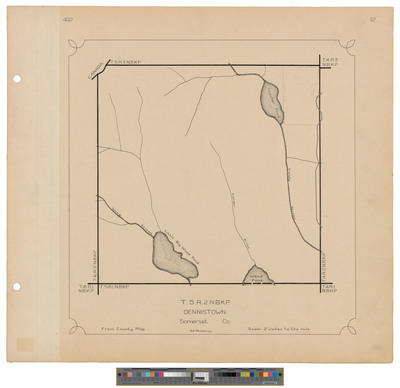
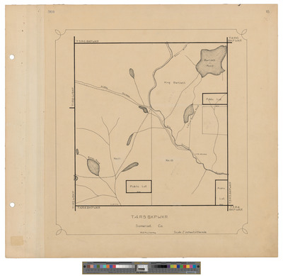
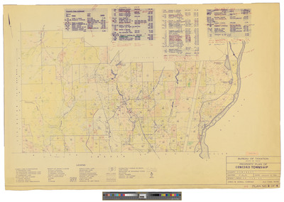
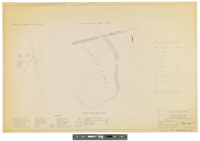
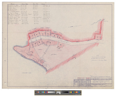
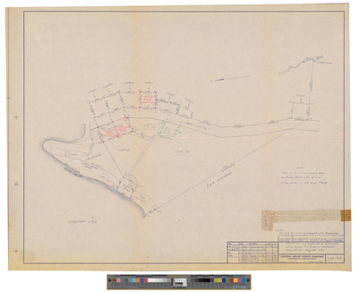
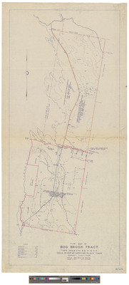
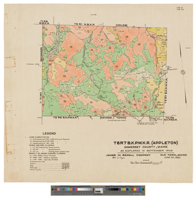
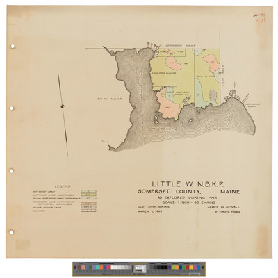
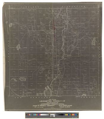
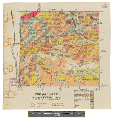
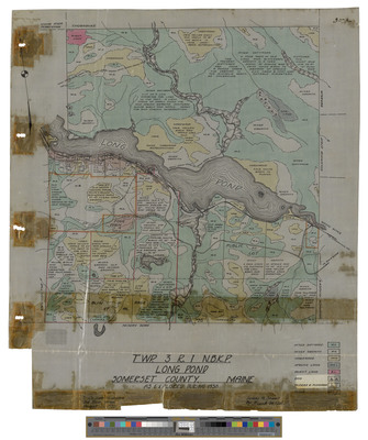
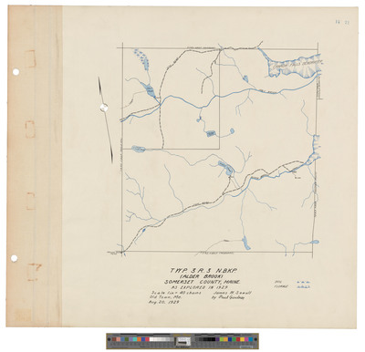
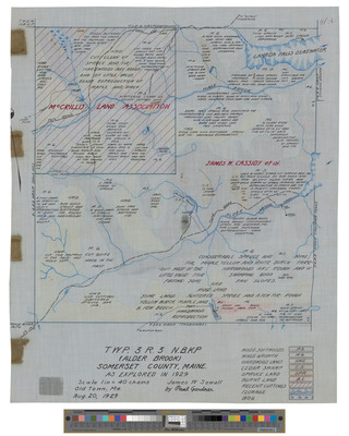
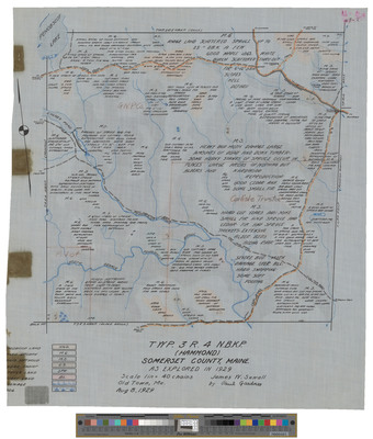
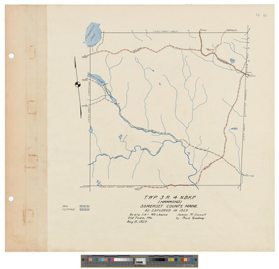
Township 3 Range 5 NBKP, Dole Brook Township. Shows sections, roads and farm.
Township 3 Range 5 NBKP, Dole Brook Township. Shows sections, roads and farm.
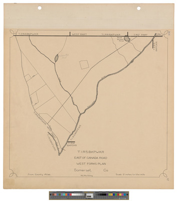
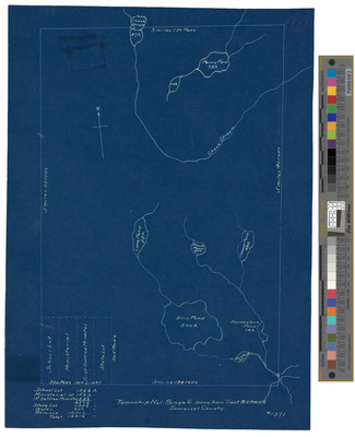
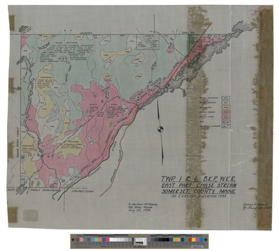
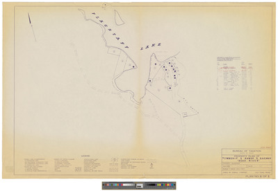
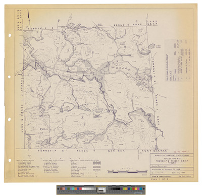
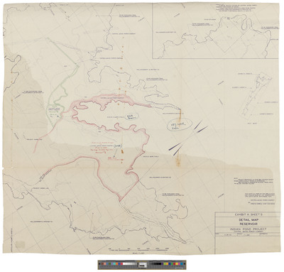
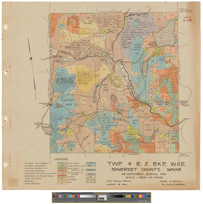
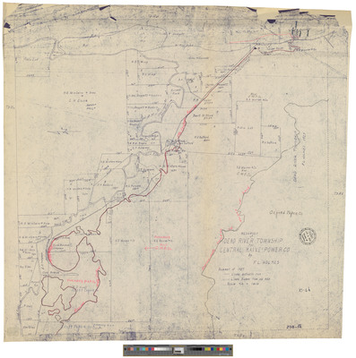
Township 4 Range 7 BKP WKR. Shows burned area in Moose River in 1911. No date.
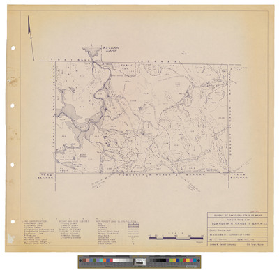
Attean Township. Shows railroad, burnt land and buildings.
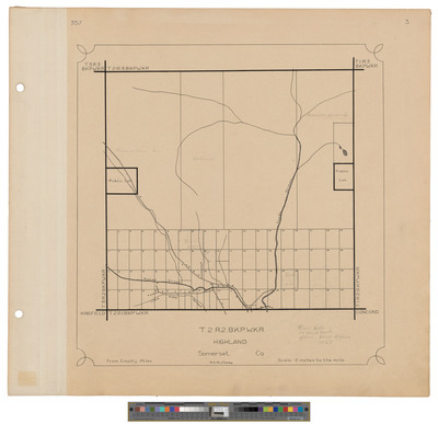
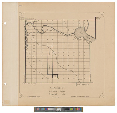
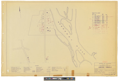
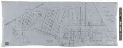
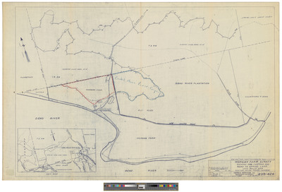
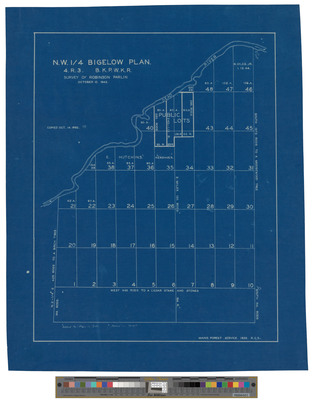
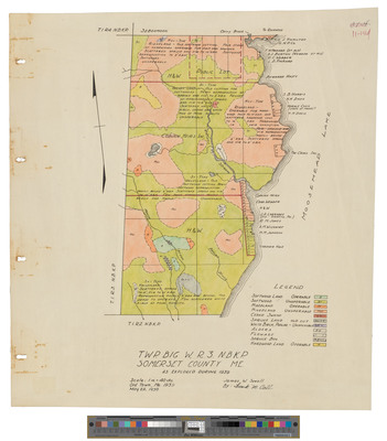
Township 4 Range 2, NBKP, Moose River Plantation. Shows lots and public lots.
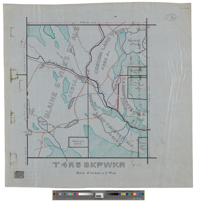
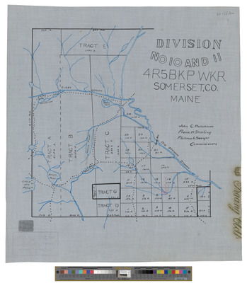
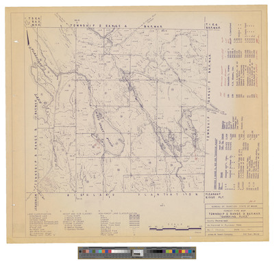
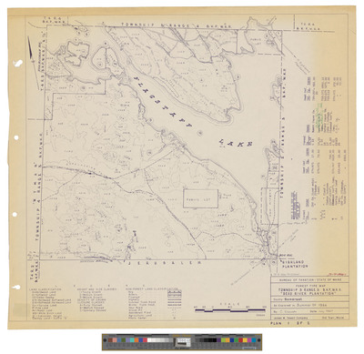
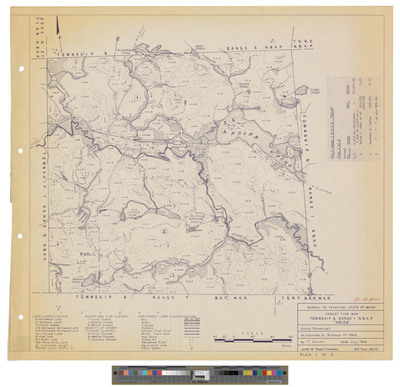
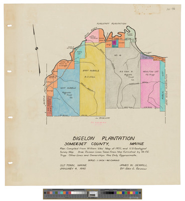
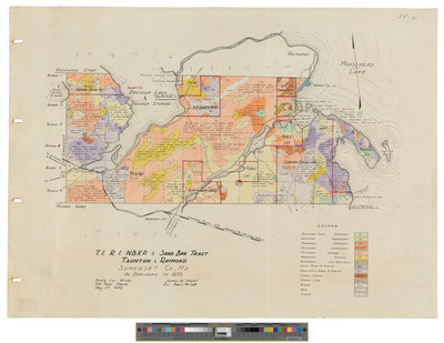
Township 4 Range 4 BKP WKR, Flaggstaff Township. Shows lots, public lots and roads.
Page
15
of
20
12
13
14
15
16
17
18
Search
Enter search terms:
Select context to search:
in this collection
Digital Maine
Advanced Search
Notify me via email or
RSS
Browse
State Agencies
Subjects
Contributors
For Agency Contributors
FAQs
Featured Links
Maine Government
Maine State Library
Maine State Agencies
Digital Maine Partners
Gallery Locations
View gallery on map
View gallery in Google Earth


