

Preview
Contributing Institution
Maine State Archives
Document Type
StillImage
Identifier
04-337294-I007
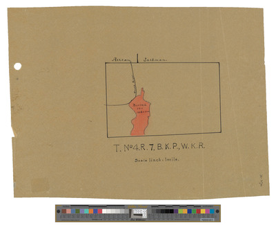
Description
Map of Township 4 Range 7 BKP WKR. Shows burned area in Moose River in 1911. No date.
Exact Creation Date
1911
Dimensions
14 x 11
Language
English
Keywords
Maine; Maps; Cartography