

Preview
Contributing Institution
Maine State Archives
Document Type
StillImage
Identifier
04-337294-I040
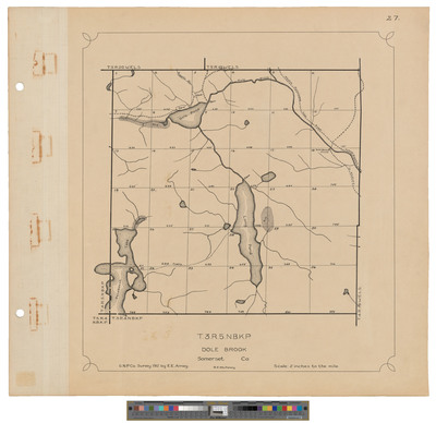
Description
Map of Township 3 Range 5 NBKP, Dole Brook Township. Shows sections, roads and farm.
Exact Creation Date
1912
Dimensions
21.5 x 20
Language
English
Keywords
Maine; Maps; Cartography