Home
Search
Browse State Agencies
My Account
About
Digital Commons Network™
Skip to main content
Home
About
FAQs
My Account
Home
>
StateDocs
>
sos
>
ARCHIVES
>
ARC_IMG
>
ARC_MAPS
>
MAPS_BY_COUNTY
>
MAPS_PENOBSCOT_COUNTY
Penobscot County
Printing is not supported at the primary Gallery Thumbnail page. Please first navigate to a specific Image before printing.
Follow
Switch View to List
View Slideshow
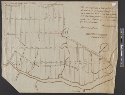
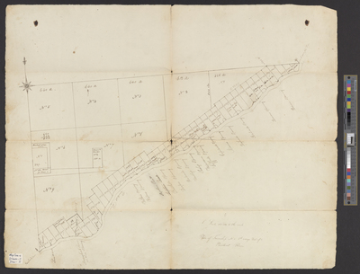
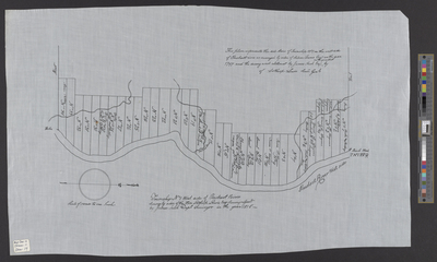
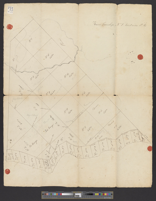
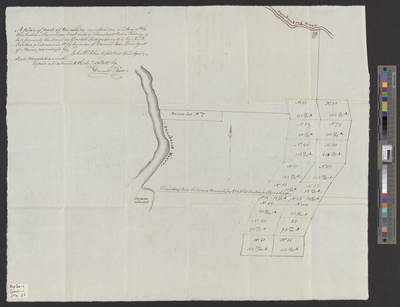
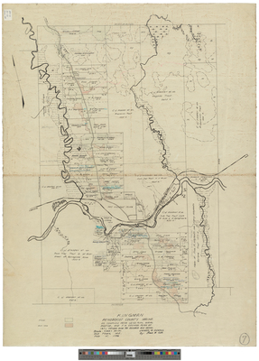
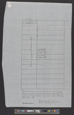
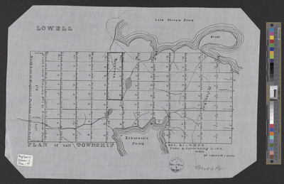
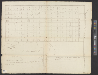
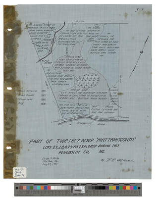
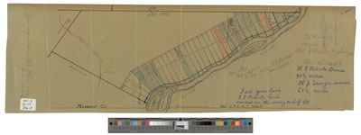
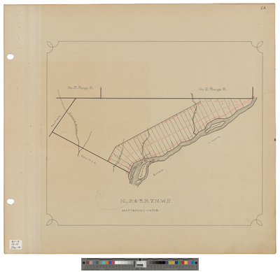
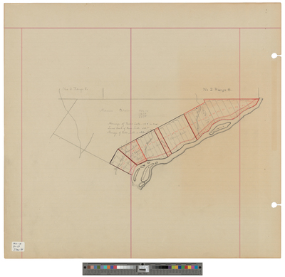
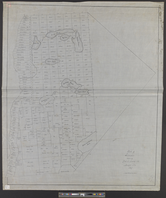
[Mattamiscontis Township]; Survey of Adams Estate land bordered by T3 R8 and T2 R8
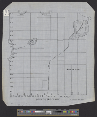
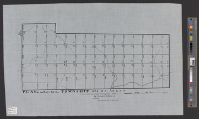
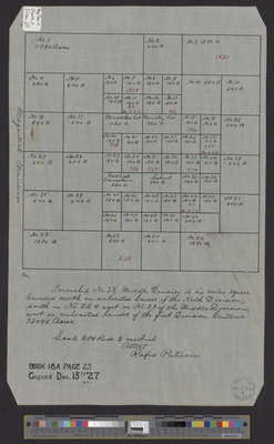
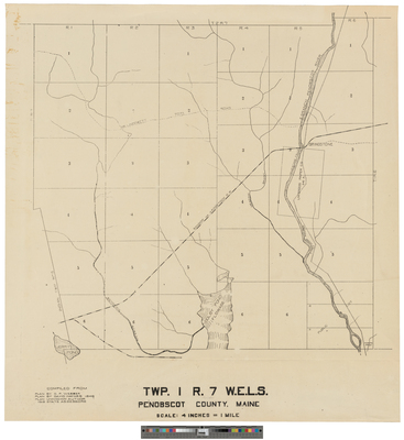
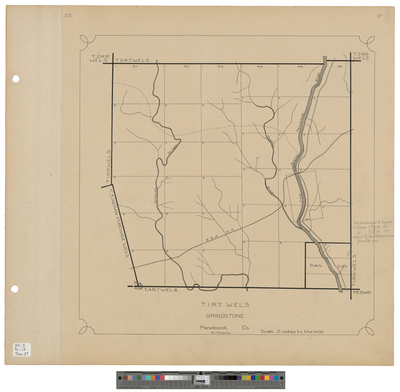
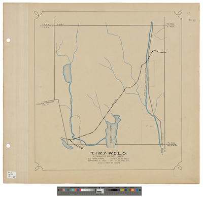
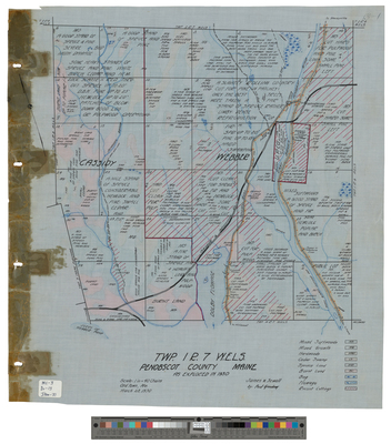
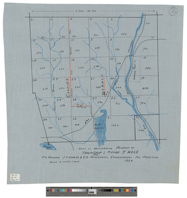
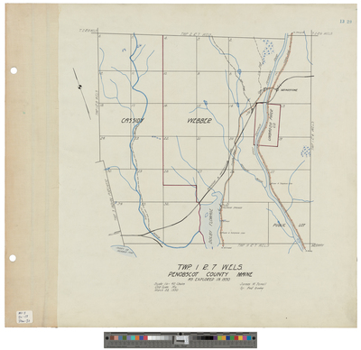
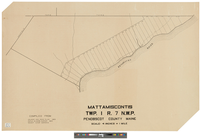
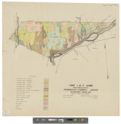
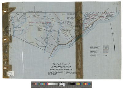
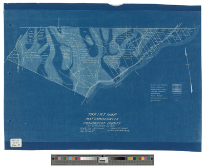
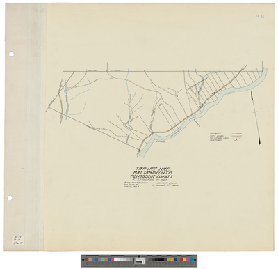
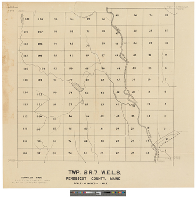
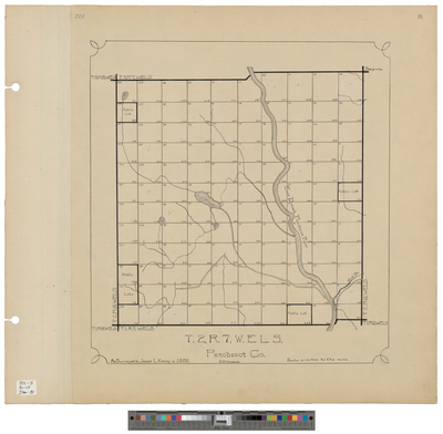
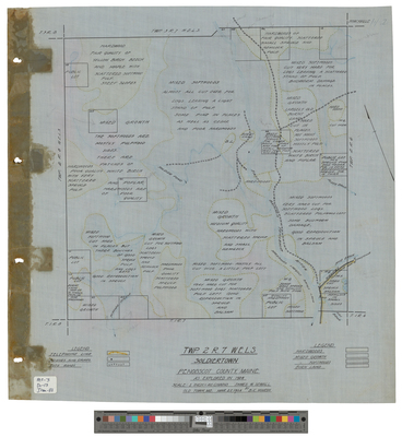
Mattamiscontis Township, T1 R7 NWP
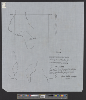
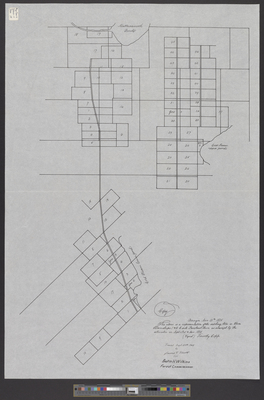
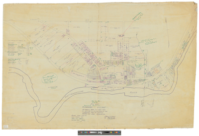
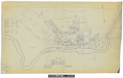
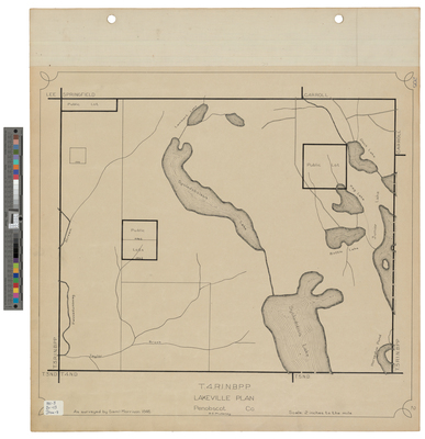
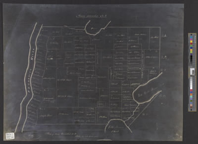
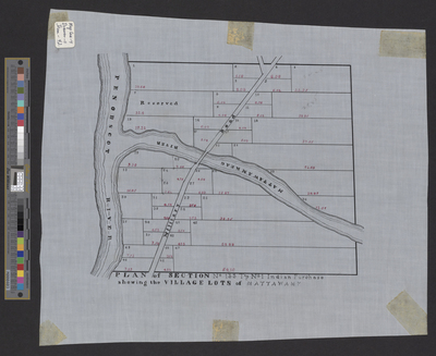
[Mattawamkeag]. Plan of Section 133, Township 1 Indian Purchase Showing the Village Lots of Mattawamkeag.
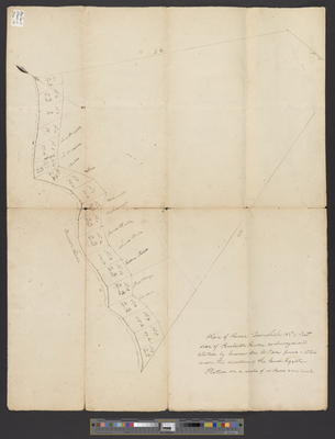
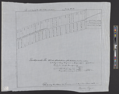
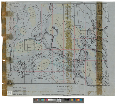
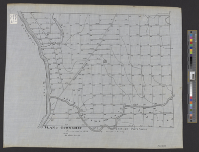
[Mattawamkeag]. Plan of Township 1 Indian Purchase.
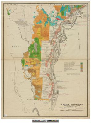
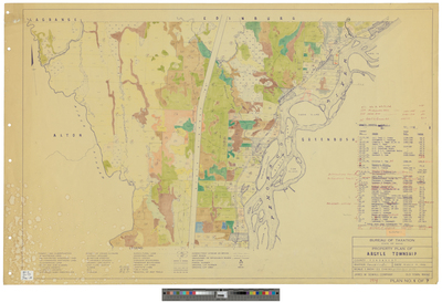
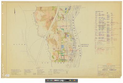
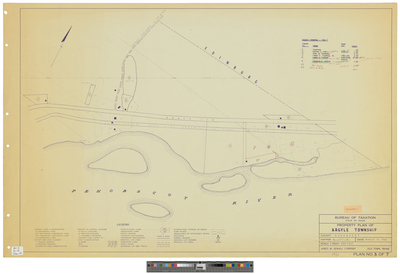
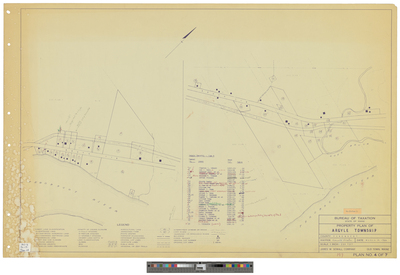
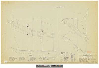
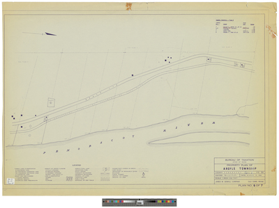
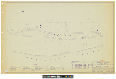
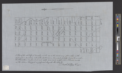
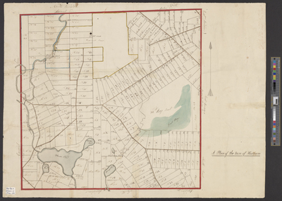
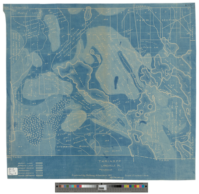
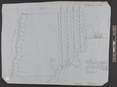
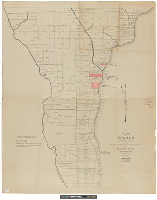
Plan of Argyle Arranged from Neal's, Leavett's, Irish's, and Alford's Plans Delineated by S.J. Bussell, C.E.
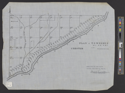
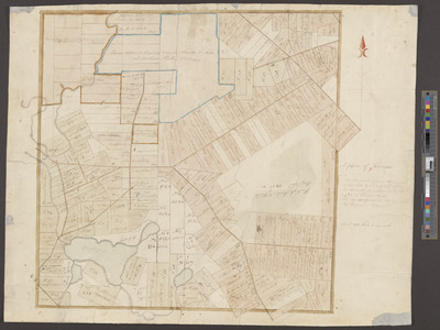
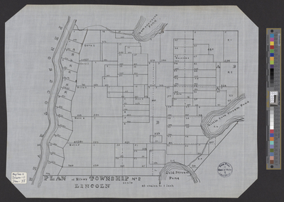
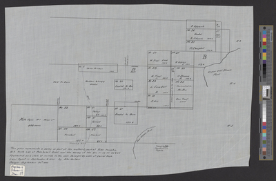
Plan of Lincoln
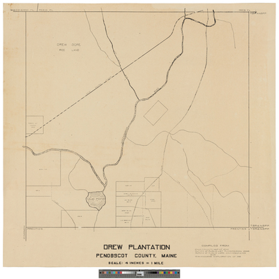
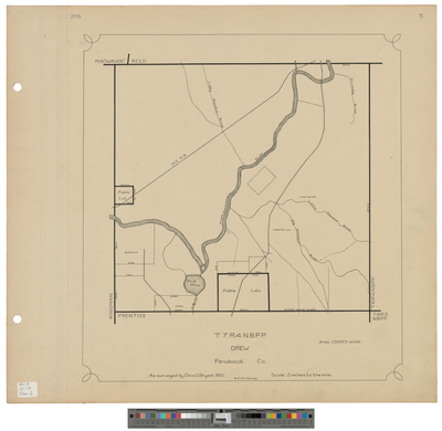
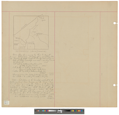
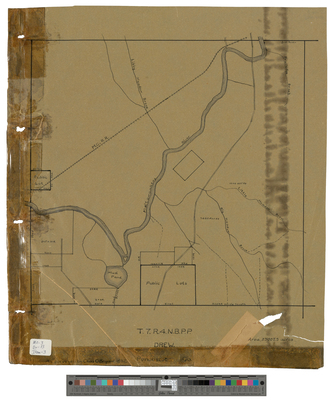
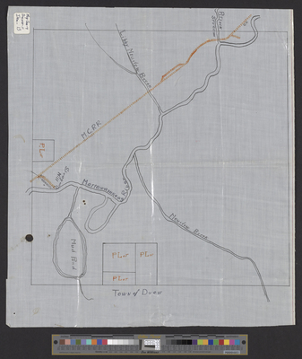
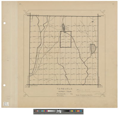
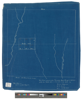
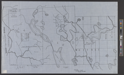
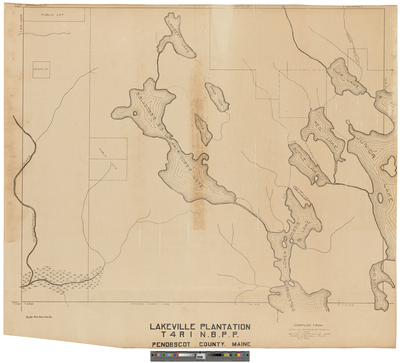
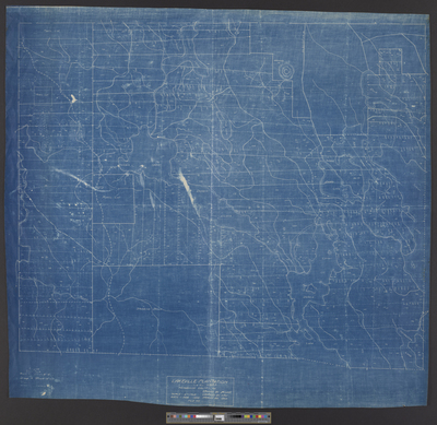
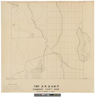
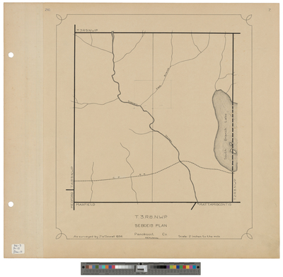
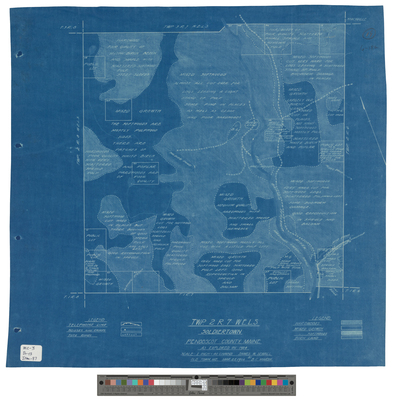
[Seboeis Plantation] T3 R8 NWP
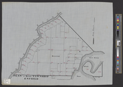
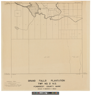
Seboeis Plantation, T3 R8 NWP
Page
12
of
33
9
10
11
12
13
14
15
Search
Enter search terms:
Select context to search:
in this collection
Digital Maine
Advanced Search
Notify me via email or
RSS
Browse
State Agencies
Subjects
Contributors
For Agency Contributors
FAQs
Featured Links
Maine Government
Maine State Library
Maine State Agencies
Digital Maine Partners
Gallery Locations
View gallery on map
View gallery in Google Earth


![[Mattamiscontis Township]; Survey of Adams Estate land bordered by T3 R8 and T2 R8](https://digitalmaine.com/maps_penobscot_county/1072/thumbnail.jpg "[Mattamiscontis Township]; Survey of Adams Estate land bordered by T3 R8 and T2 R8")

![[Mattawamkeag]. Plan of Section 133, Township 1 Indian Purchase Showing the Village Lots of Mattawamkeag. by Joseph L. Kelsey](https://digitalmaine.com/maps_penobscot_county/1255/thumbnail.jpg "[Mattawamkeag]. Plan of Section 133, Township 1 Indian Purchase Showing the Village Lots of Mattawamkeag. by Joseph L. Kelsey")
![[Mattawamkeag]. Plan of Township 1 Indian Purchase. by Joseph L. Kelsey](https://digitalmaine.com/maps_penobscot_county/1256/thumbnail.jpg "[Mattawamkeag]. Plan of Township 1 Indian Purchase. by Joseph L. Kelsey")


![[Seboeis Plantation] T3 R8 NWP by James W. Sewall](https://digitalmaine.com/maps_penobscot_county/1013/thumbnail.jpg "[Seboeis Plantation] T3 R8 NWP by James W. Sewall")
