

Preview
Contributing Institution
Maine State Archives
Document Type
StillImage
Identifier
4-308519-I042
Description
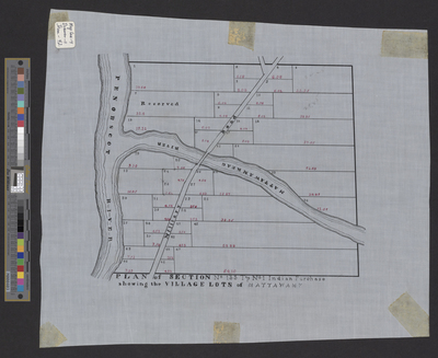
Plan of Mattawamkeag (T1 Indian Purchase).
Broad Creation Date
c. 1834
Language
English
Location
Penobscot County; Mattawamkeag
Other Location
Mattawamkeag River; Penobscot River; Military Road
Keywords
Cartography; Maps; Surveys