


Preview
Contributing Institution
Town of Westport Island
Document Type
Image
Description
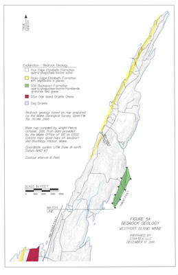
Base map compiled by Wright-Pierce, October, 2001, from data provided by the Maine Office of GIS as USGS 1:24,000 topo quad maps of Westport and Boothbay Harbor, Maine.
Exact Creation Date
12-17-2001
Location
Lincoln County; Westport Island