Home
Search
Browse State Agencies
My Account
About
Digital Commons Network™
Skip to main content
Home
About
FAQs
My Account
Home
>
Maine Communities
>
Westport Island
>
WESTPORT_ISLAND_MAPS
Westport Island Maps
Printing is not supported at the primary Gallery Thumbnail page. Please first navigate to a specific Image before printing.
Follow
Switch View to List
View Slideshow
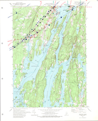
Aerial Photo Index Map - DOT - westport 24k
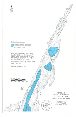
Bedrock Aquifer Protection Zones Base Map - North End of Westport Island, Maine
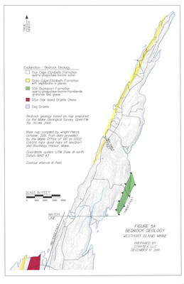
Bedrock Geology Base Map - North End of Westport Island, Maine
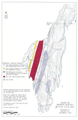
Bedrock Geology Base Map - South End of Westport Island, Maine
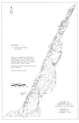
Bedrock Wells Base Map - North End of Westport Island, Maine
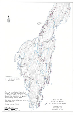
Bedrock Wells Base Map - South End of Westport Island, Maine
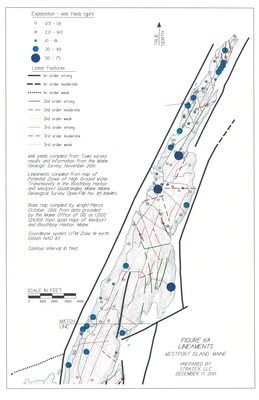
Lineaments Base Map - North End of Westport Island, Maine
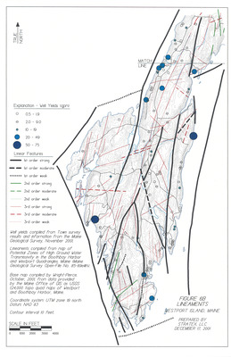
Lineaments Base Map - South End of Westport Island, Maine
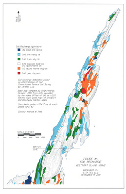
Soil Recharge Base Map - North End of Westport Island, Maine
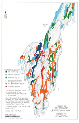
Soil Recharge Base Map - South End of Westport Island, Maine
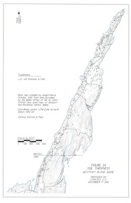
Soil Thickness Base Map - North End of Westport Island, Maine
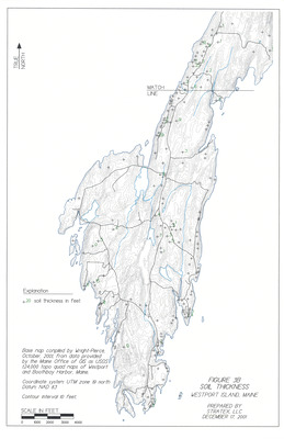
Soil Thickness Base Map - South End of Westport Island, Maine
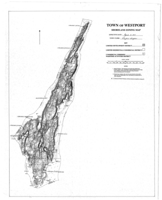
Westport Island Shoreland Zoning Map, 1997
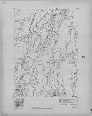
Maine Coastal Island Registry Map: 10F
Search
Enter search terms:
Select context to search:
in this collection
Digital Maine
Advanced Search
Notify me via email or
RSS
Browse
State Agencies
Subjects
Contributors
For Agency Contributors
FAQs
Links
Town of Westport Island Website
Featured Links
Maine Government
Maine State Library
Maine State Agencies
Digital Maine Partners
Gallery Locations
View gallery on map
View gallery in Google Earth


