

Preview
Contributing Institution
Maine State Library
Document Type
StillImage
Identifier
BOATL81710
Description
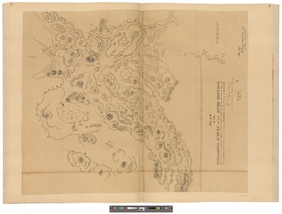
This map is from part 1 of the “North Eastern Border Map Atlas” assembled by the Maine State Library in 1914. Number 7 as referred to in the U.S. Arguments: Number G as referred to in the British Arguments
Exact Creation Date
1819
Keywords
United States; Canada; Northeast Boundary Dispute; National Borders; Map; Atlas; Diplomacy; Treaty of Ghent; Maine; New Brunswick; Quebec; War of 1812