

Preview
Contributing Institution
Maine State Archives
Document Type
StillImage
Identifier
302963
Description
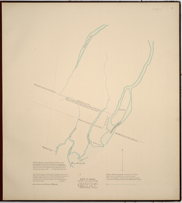
Page 5 of the Sagadahoc County planbook. Survey of Bowdoinham for the Kennebec Proprietors.
"This Plan Represents a part of Kennebeck River & a line Extending from the west Side and perpendicular to the General Course thereof and passing through the utmost limits of the stream called Cobsecontee towards the western Ocean."
Scale of 200 rods to an inch.
Exact Creation Date
6-1798
Language
English
Location
Sagadahoc County; Bowdoinham
Keywords
Cartography; Maps; Maine Land Office; Planbooks; Surveys