Home
Search
Browse State Agencies
My Account
About
Digital Commons Network™
Skip to main content
Home
About
FAQs
My Account
Home
>
StateDocs
>
sos
>
ARCHIVES
>
ARC_IMG
>
ARC_LAND_OFFICE
>
PLANBOOK_MAPS
>
PLANBOOK_LINCOLN_COUNTY
Plan Book Lincoln County
Printing is not supported at the primary Gallery Thumbnail page. Please first navigate to a specific Image before printing.
Follow
Switch View to List
View Slideshow
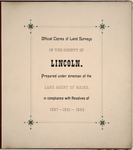
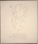
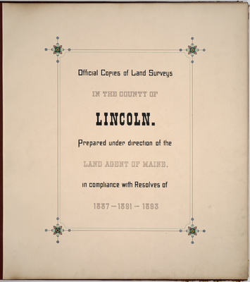
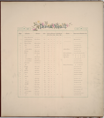
Page 00. Official copies of Land Surveys in the County of Lincoln.
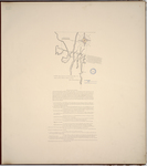
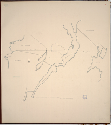
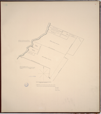
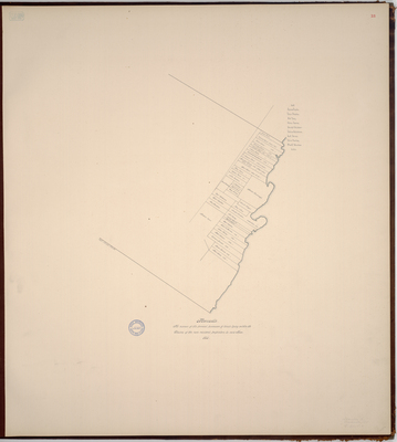
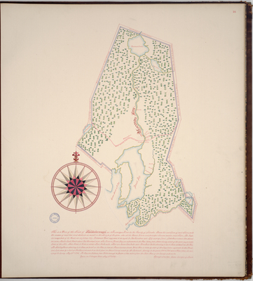
Page 01. Areas in the Plymouth Claim and Kennebec Purchase; 1762
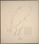
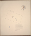
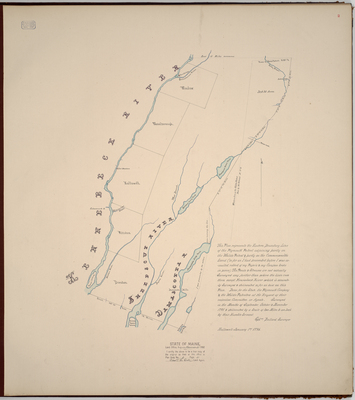
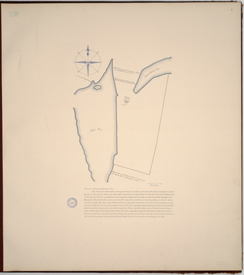
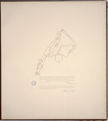
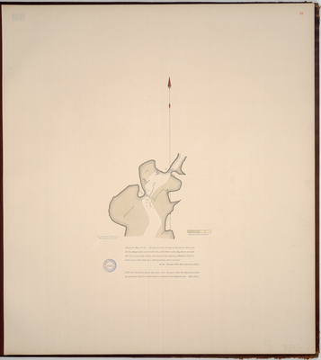
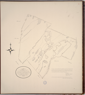
Page 02. This Plan represents the Eastern Boundary Line of the Plymouth Patent adjoining partly on the Waldo Patent & partly on the Commonwealth Land (so far as I had proceeded before I was assaulted, robbed of my Papers & my Compass broke in pieces). 1796
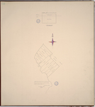
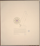
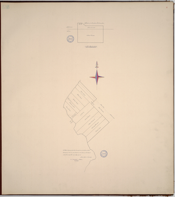
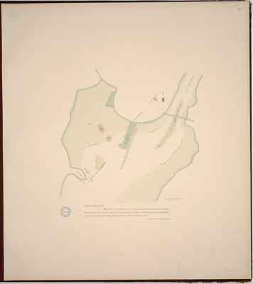
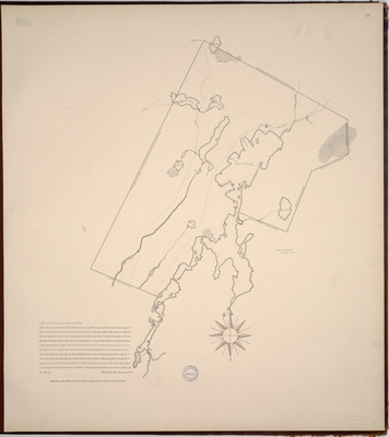
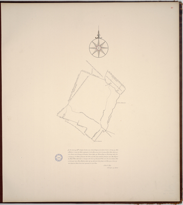
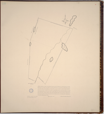
Page 03. This Plan Represents the North Easterly Part of the Town of Alna.
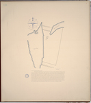
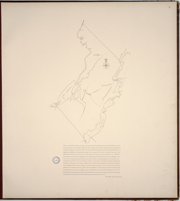
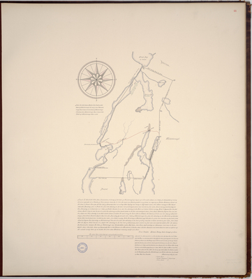
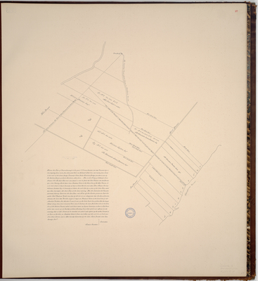
Page 04. Plan of the town of Boothbay; 1795
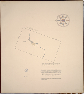
Page 05. A Plan of Some Land up Pemmaqued River or Brook or a plase Called Stare Medow Without the Bound of aney Town and in the County of Lincoln
Page 06. A plann of about Two hundred acres of Land Surveyed for Mr. William Sproul siteuat lying and Being in a place Called Herington in the County of Lincoln and Provance of the Massachusetts Bay in New England. 1762
Page 07. Survey taken for Mr. Robert Sproul 114 1/2 acres on Herringtons Neck at Pemaquid, 1762
1
2
3
4
Search
Enter search terms:
Select context to search:
in this collection
Digital Maine
Advanced Search
Notify me via email or
RSS
Browse
State Agencies
Subjects
Contributors
For Agency Contributors
FAQs
Featured Links
Maine Government
Maine State Library
Maine State Agencies
Digital Maine Partners
Gallery Locations
View gallery on map
View gallery in Google Earth