Home > StateDocs > sos > ARCHIVES > ARC_IMG > ARC_MAPS > PLANBOOK_MAPS > PLANBOOK_LINCOLN_COUNTY
Follow
Advanced Search


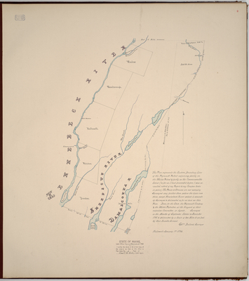
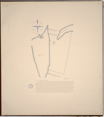
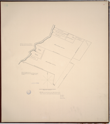
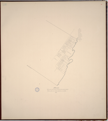
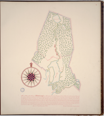
. 1796 by Ephraim Ballard")


