

Preview
Contributing Institution
Maine State Archives
Document Type
StillImage
Identifier
29453
Description
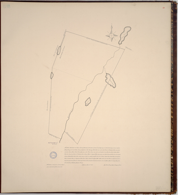
Page 26 of the Lincoln County planbook. Survey of Ballstown, now part of Whitefield, on a scale of 200 poles to an inch taken from earlier survey by William Davis. Copied from Massachusetts Archives Maps and Plans #1708. Notation on map "from Senate papers 1807, No. 3649."
Exact Creation Date
4-11-1807
Language
English
Location
Lincoln County; Whitefield
Other Location
Weary Pond; Pleasant Pond; Sheepscot River; Hunts Meadow; Long Pond
Keywords
Cartography; Maps; Maine Land Office; Planbooks; Surveys