

Preview
Contributing Institution
Maine State Archives
Document Type
StillImage
Identifier
29453
Description
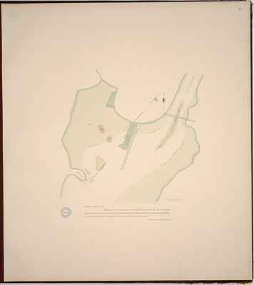
Page 10 of the Lincoln County planbook. Copied from Massachusetts Archives Maps and Plans #1742.
"This plan as it is here, Delineated is a Representation of Damascotty eddy, so call'd, which shews high water and low water mark and the interference etc of the wharves etc taken with the assistance of Nath'l Bryant and Milton Goodnow Esq. for Chainmen and plaited on a scale of five poles to an inch."
Exact Creation Date
9-14-1811
Language
English
Location
Lincoln County; Newcastle
Keywords
Cartography; Maps; Maine Land Office; Planbooks; Surveys