Home > StateDocs > sos > ARCHIVES > ARC_IMG > ARC_LAND_OFFICE > PLANBOOK_MAPS > PLANBOOK_5
Follow
Advanced Search


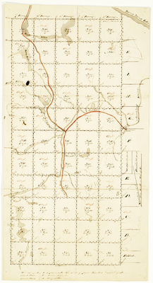
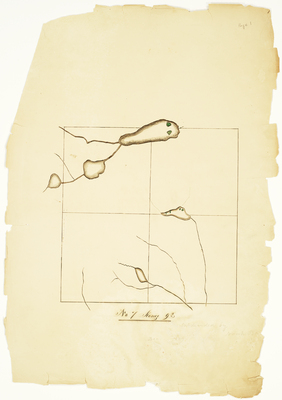
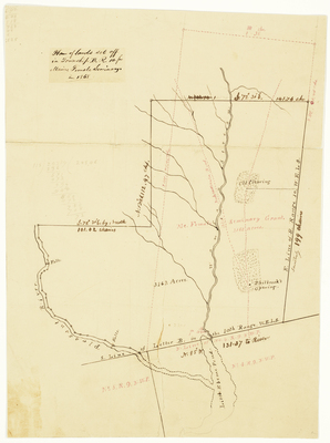
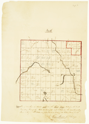
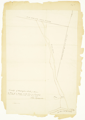
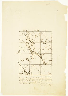
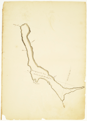
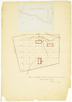
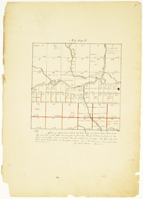
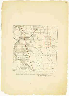
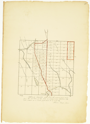
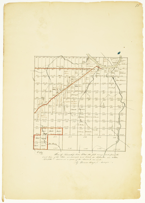
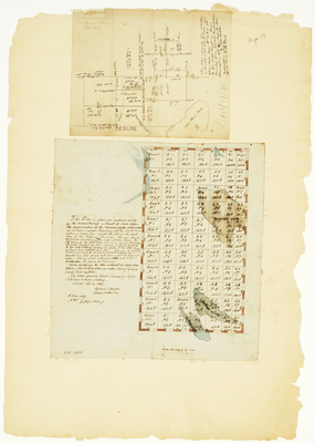
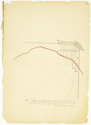
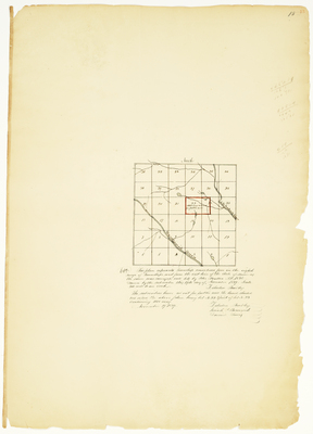
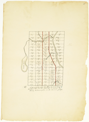
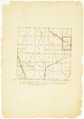
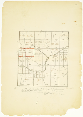
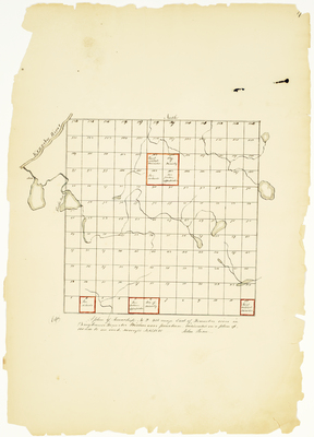
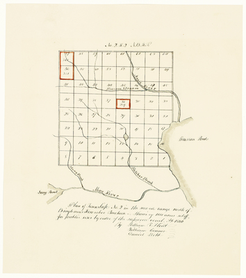
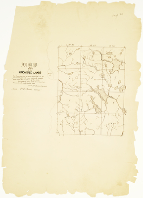
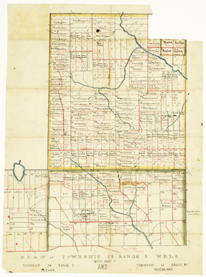
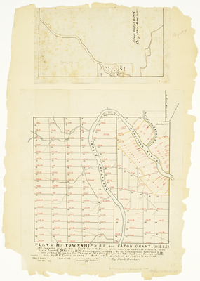
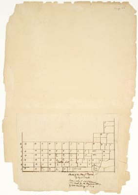
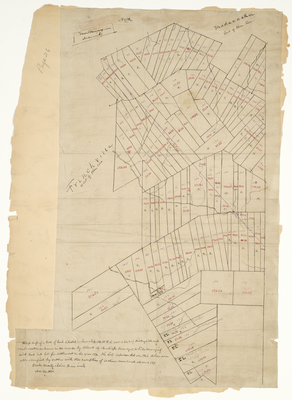
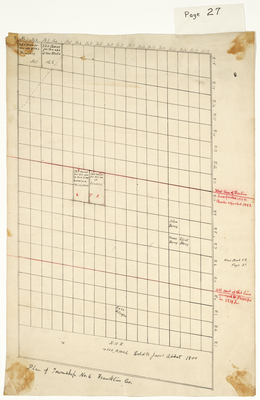
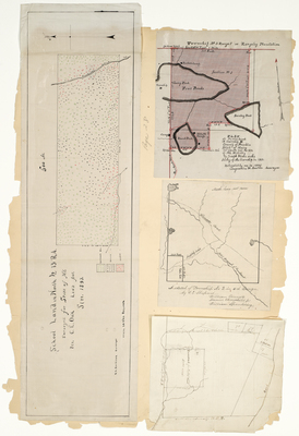
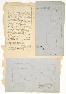
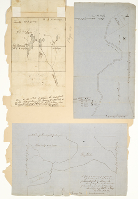
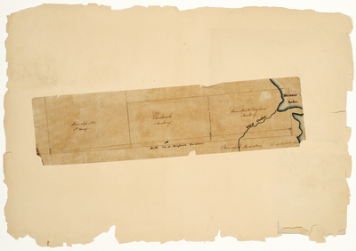
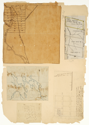
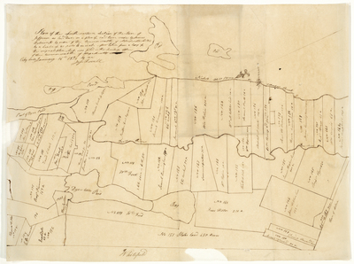
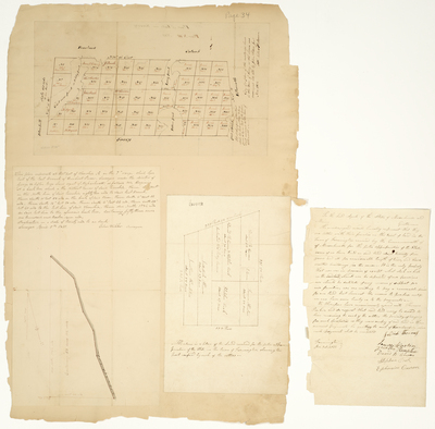
 as compiled from original Field Notes & Plans of the same as made and returned to the State Land Office by H.W Cunningham in 1839; by the Commission appointed to locate grants etc under the Treaty of Washington, in 1854; by Daniel Dennett in 1859; and by B.F. Cutter in 1860. by Noah Barker")


