

Preview
Document Type
StillImage
Contributing Institution
Maine State Archives
Identifier
208461
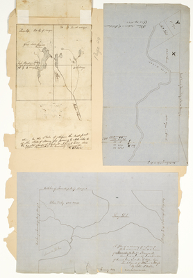
Description
Survey of Township 17, Range 4 on a scale of 40 chains to an inch. Survey of Township 4, Range 9. Plan of lots near the Fish River.
Exact Creation Date
1850
Language
English
Keywords
Cartography; Maps; Maine Land Office; Planbooks; Surveys