Home > StateDocs > sos > ARCHIVES > ARC_IMG > ARC_LAND_OFFICE > PLANBOOK_MAPS > PLANBOOK_4
Follow
Page 6 of 12
Advanced Search


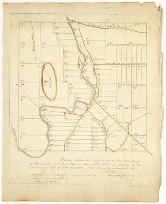
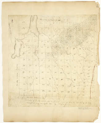
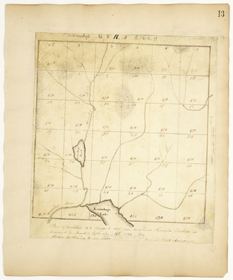
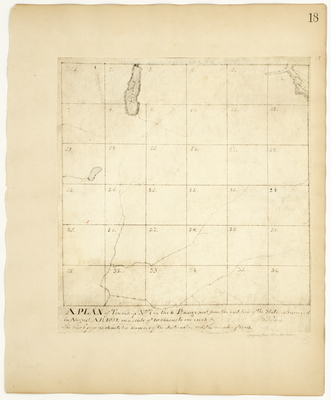
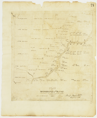
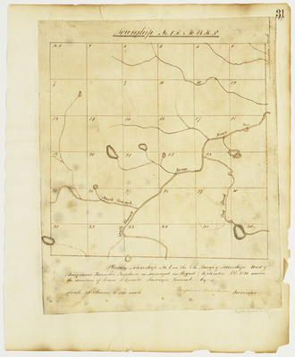
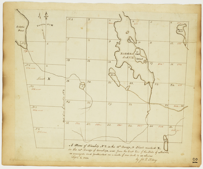
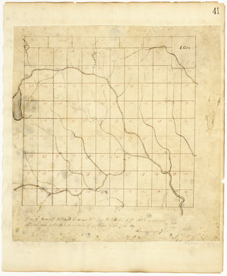
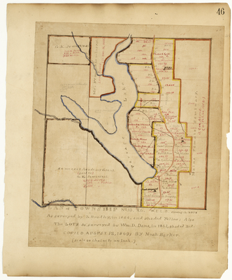
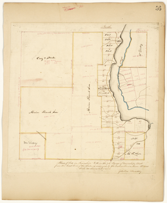
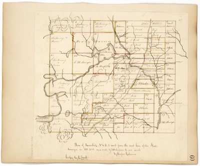
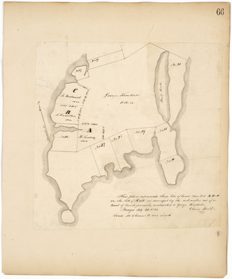
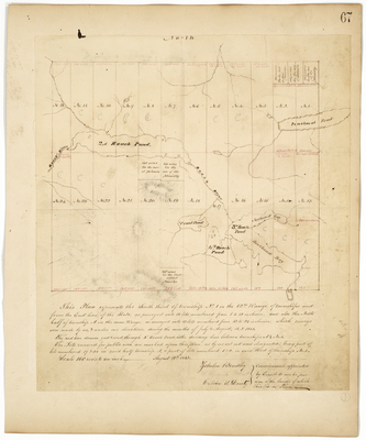
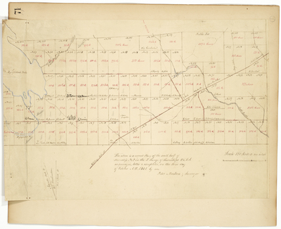
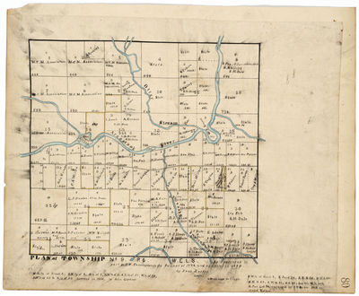
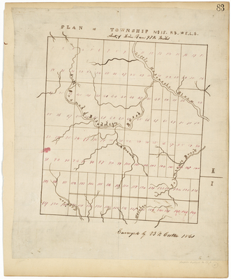
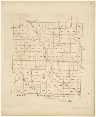
![Page 46. Plan of Township 13, Range 6 WELS showing the lots as surveyed by Z[ebulon] Bradley, in 1844, and shaded yellow; Also the lots as surveyed by William D. Dana, in 1861, shaded red, copied August 12, 1869 by Noah Barker. by Noah Barker](https://digitalmaine.com/planbook_4/1046/thumbnail.jpg "Page 46. Plan of Township 13, Range 6 WELS showing the lots as surveyed by Z[ebulon] Bradley, in 1844, and shaded yellow; Also the lots as surveyed by William D. Dana, in 1861, shaded red, copied August 12, 1869 by Noah Barker. by Noah Barker")
