Home > StateDocs > sos > ARCHIVES > ARC_IMG > ARC_LAND_OFFICE > PLANBOOK_MAPS > PLANBOOK_4
Follow
Page 3 of 12
Advanced Search


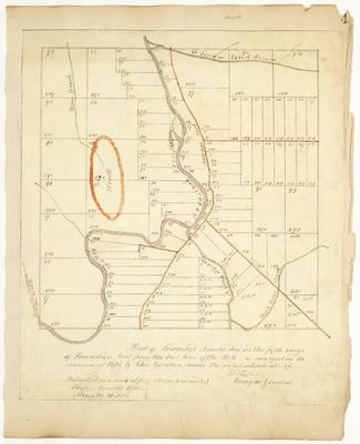
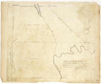
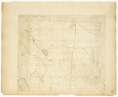
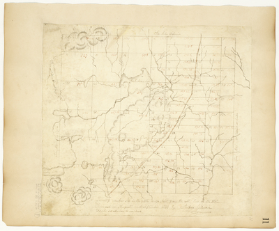
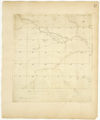
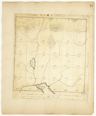
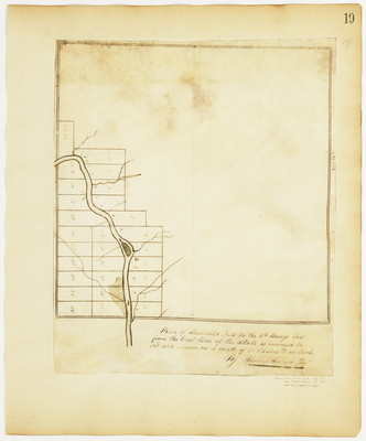
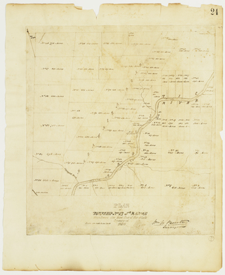
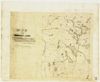
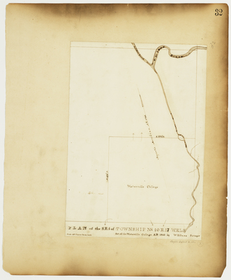
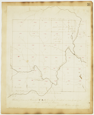
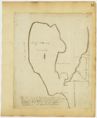
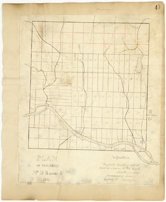
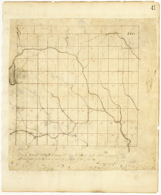
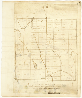
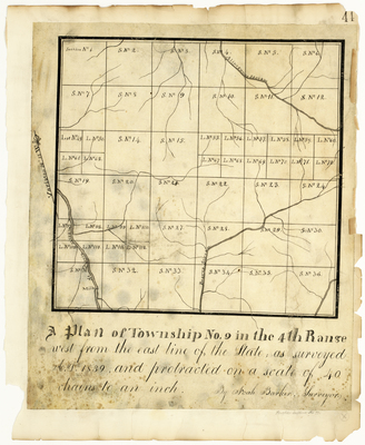
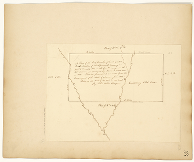
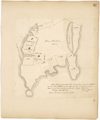
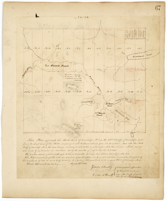
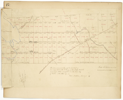
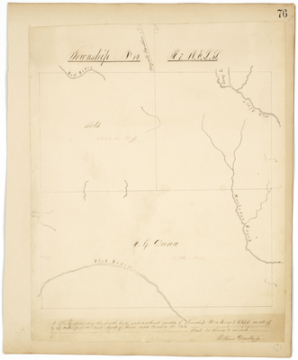
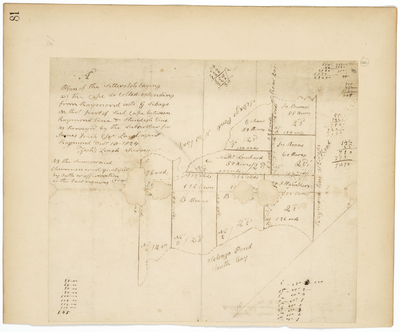
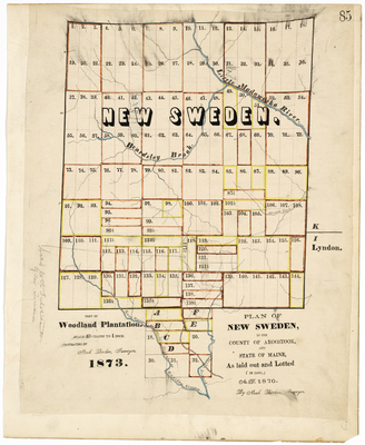
![Page 20. This plan represents a tract of land equal to two thirds of a township of six miles square, being the south part of township number one Range 6 West of Bingham's Kennebec purchase as surveyed for William Kibbe [...] by Hiram Rockwood](https://digitalmaine.com/planbook_4/1020/thumbnail.jpg "Page 20. This plan represents a tract of land equal to two thirds of a township of six miles square, being the south part of township number one Range 6 West of Bingham's Kennebec purchase as surveyed for William Kibbe [...] by Hiram Rockwood")


