

Preview
Document Type
StillImage
Contributing Institution
Maine State Archives
Identifier
210859
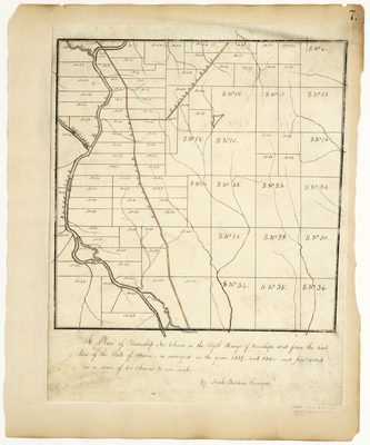
Description
Survey of T11 R5 WELS (Ashland) on a scale of 40 chains to one inch.
Broad Creation Date
1839-1840
Language
English
Location
Aroostook County; Ashland
Other Location
Aroostook River; Fairbanks' Road; Aroostook Road; Machias Stream
Keywords
Cartography; Maps; Maine Land Office; Planbooks; Surveys