Home
Search
Browse State Agencies
My Account
About
Digital Commons Network™
Skip to main content
Home
About
FAQs
My Account
Home
>
StateDocs
>
sos
>
ARCHIVES
>
ARC_IMG
>
ARC_LAND_OFFICE
>
PLANBOOK_MAPS
>
PLANBOOK_20
Plan Book 20
Printing is not supported at the primary Gallery Thumbnail page. Please first navigate to a specific Image before printing.
Follow
Switch View to List
View Slideshow
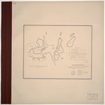
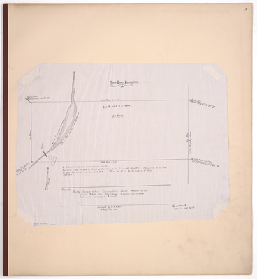
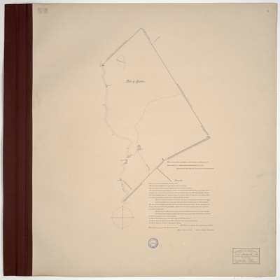
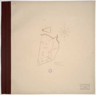
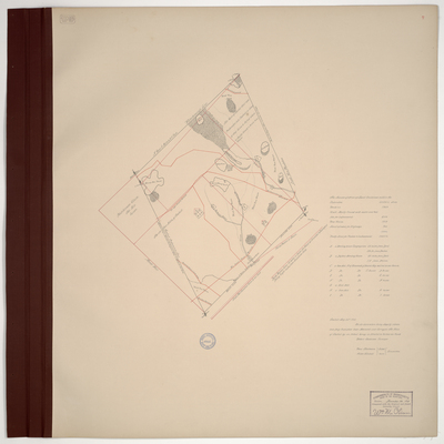
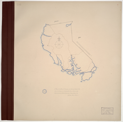
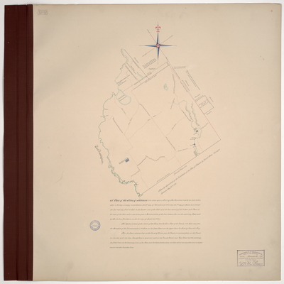
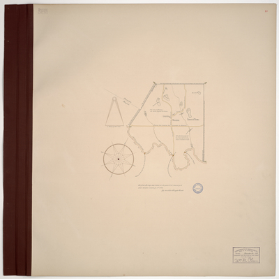
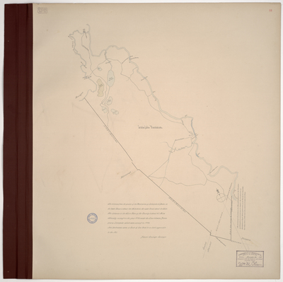
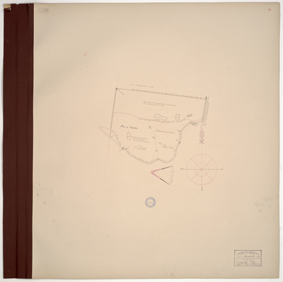
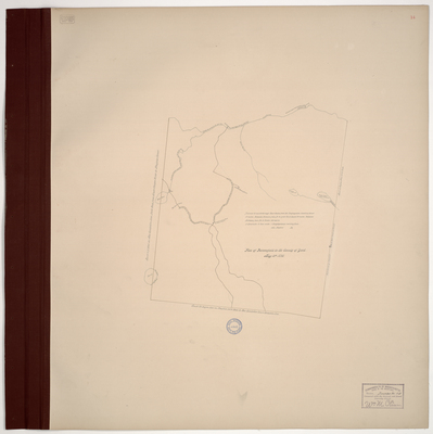
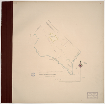
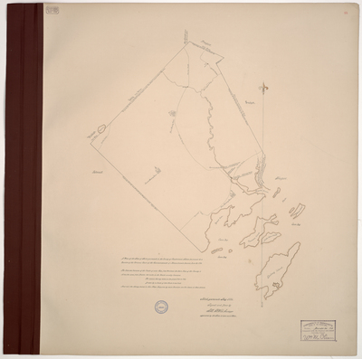
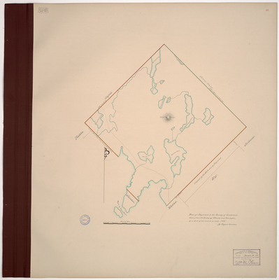
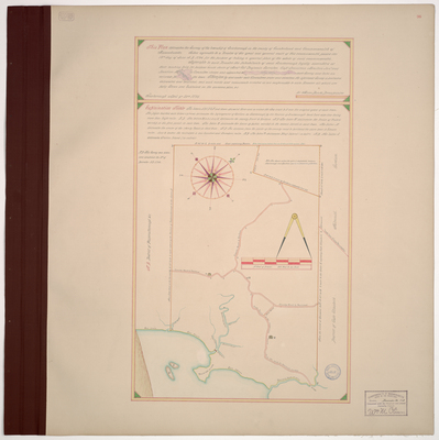
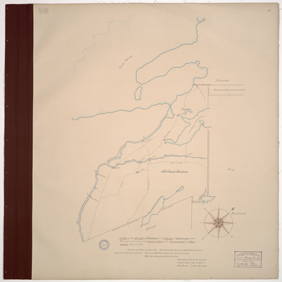
Page 32. Plantation of Otisfield, 1795
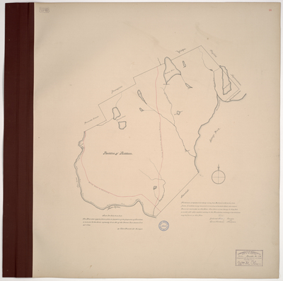
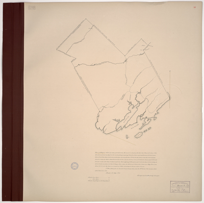
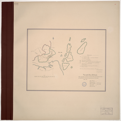
Page 33. Plan of the Town of Portland, 1795
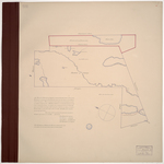
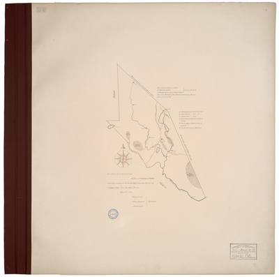
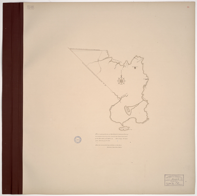
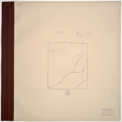
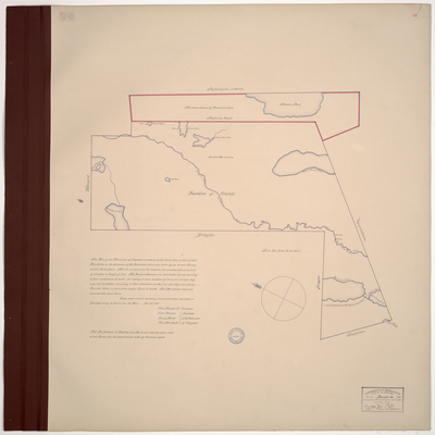
Page 34. The enclosed is part of of a Strip of Land lying between Ramondton and Poland in County of Cumberland extending from or butting on New Gloucester South-East and Otisfield North-West.
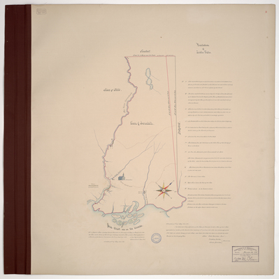
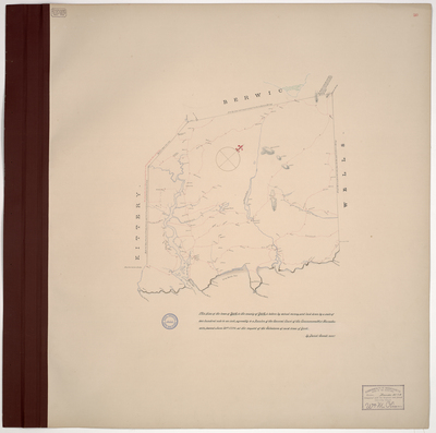
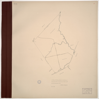
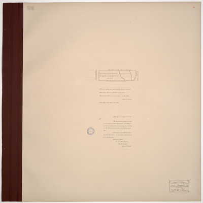
Page 35. Plan of Raymond in the County of Cumberland taken from the Survey of Winslow and Purrington.
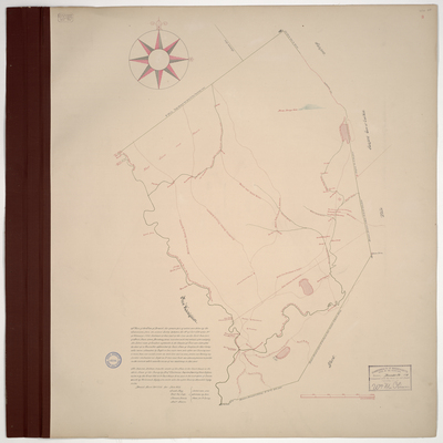
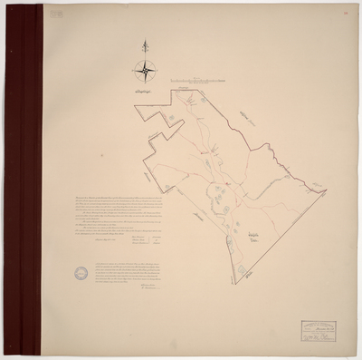
Page 36. Survey of the township of Scarborough
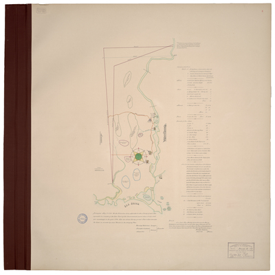
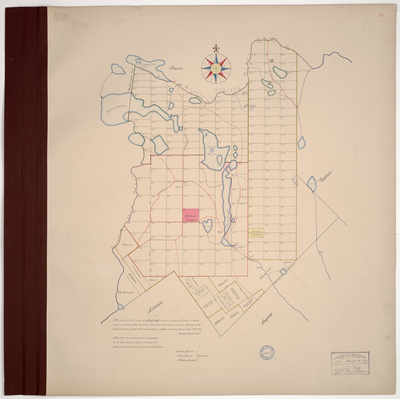
Page 37. Survey of the Township of Standish
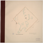
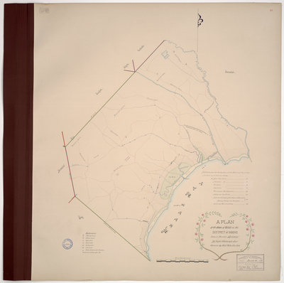
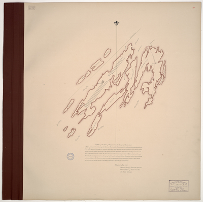
Page 38. A Plan of the Township of Windham in the County of Cumberland taken Persuant to the order of the General Court of the Commonwealth of Massachusetts June 18, 1794.
1
2
3
4
5
Search
Enter search terms:
Select context to search:
in this collection
Digital Maine
Advanced Search
Notify me via email or
RSS
Browse
State Agencies
Subjects
Contributors
For Agency Contributors
FAQs
Featured Links
Maine Government
Maine State Library
Maine State Agencies
Digital Maine Partners
Gallery Locations
View gallery on map
View gallery in Google Earth