Home > StateDocs > sos > ARCHIVES > ARC_IMG > ARC_MAPS > PLANBOOK_MAPS > PLANBOOK_20
Follow
Advanced Search


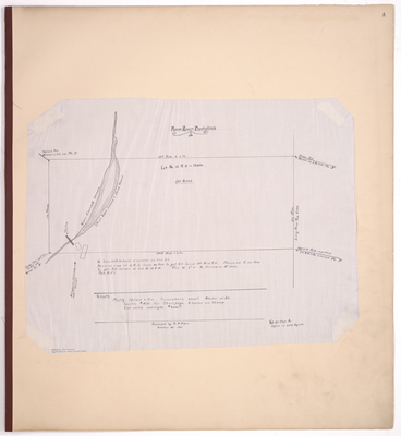
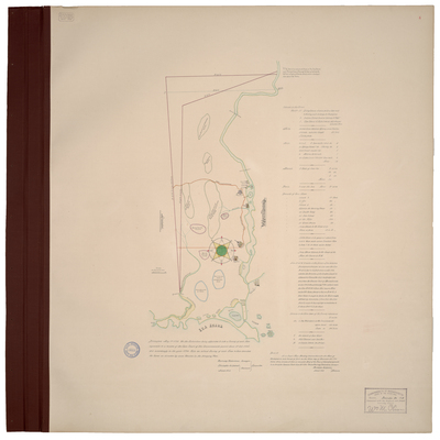
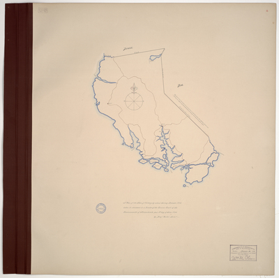
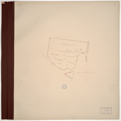
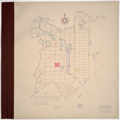
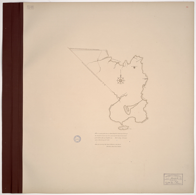
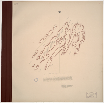
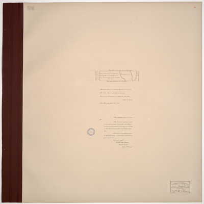
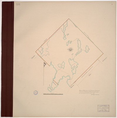
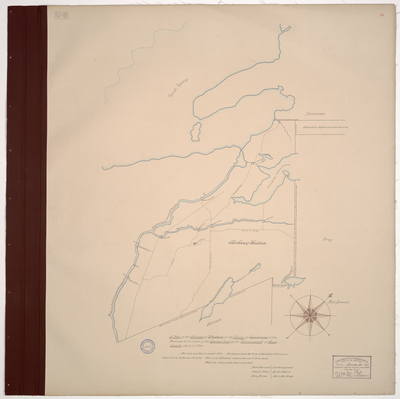
![Page 15. Plan of Pepperelborough [Saco], 1794. by Daniel Grainger](https://digitalmaine.com/planbook_20/1015/thumbnail.jpg "Page 15. Plan of Pepperelborough [Saco], 1794. by Daniel Grainger")