Home > StateDocs > sos > ARCHIVES > ARC_IMG > ARC_LAND_OFFICE > PLANBOOK_MAPS > PLANBOOK_13
Follow
Advanced Search


")
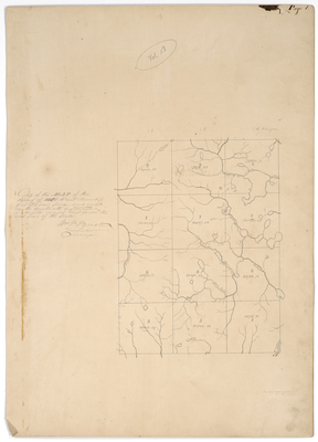
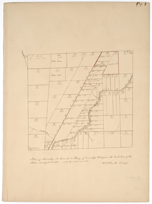
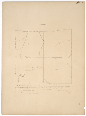
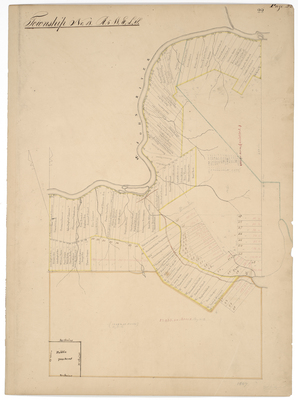
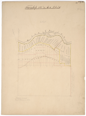
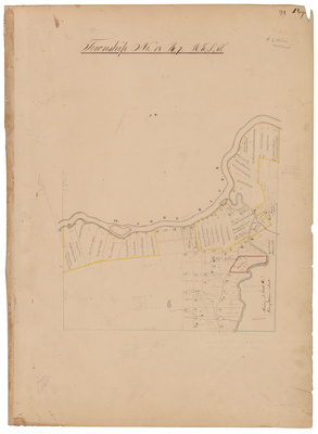
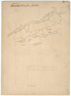
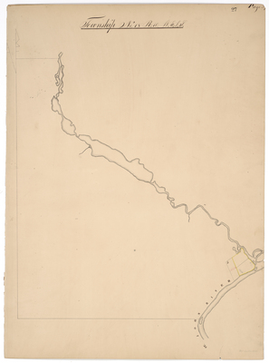
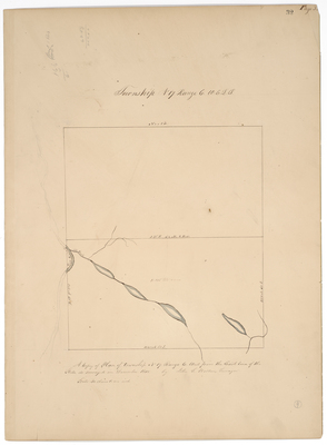
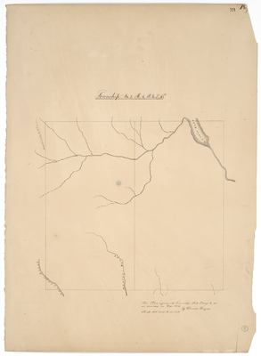
![Page 26. Township No. 17 Range 8 WELS [St. John Plantation]](https://digitalmaine.com/planbook_13/1024/thumbnail.jpg "Page 26. Township No. 17 Range 8 WELS [St. John Plantation]")


